
Emerging trends in GIS: Navigating the geospatial landscape
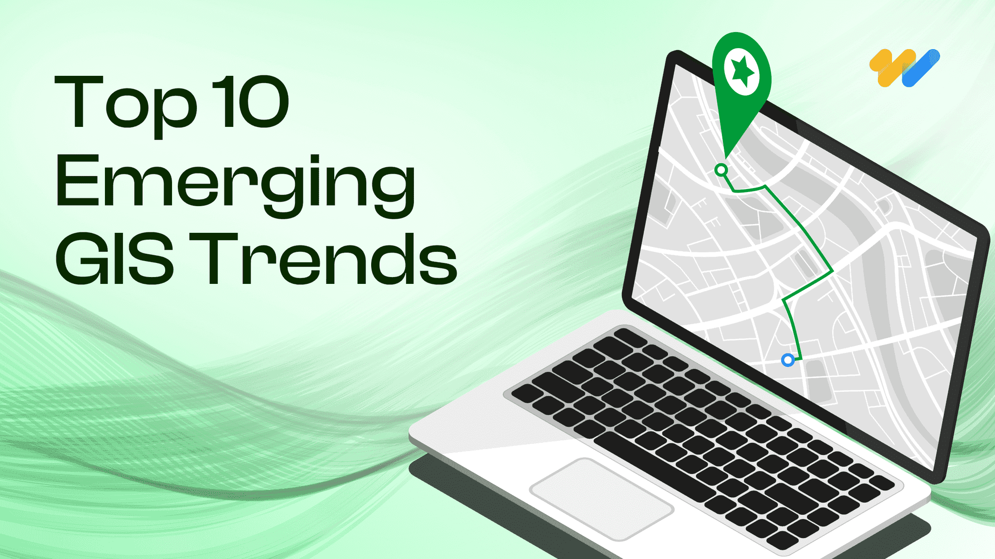
GIS or Geographical information systems has helped turn maps into advanced tools for problem-solving. GIS has evolved into a system that combines physical, societal and economic geographies giving us a wealth of information to solve some of the most complex and pressing problems of our time. From urban planning and environmental monitoring to logistics and self-driving cars, GIS is becoming an essential tool for understanding and interacting with the world around us. In this article, we are discussing some of the emerging trends in GIS that revolutionize how we collect, analyze, visualize, and utilize spatial data.
Key drivers of growth of GIS technology
Organizations worldwide have adopted GIS practices to develop infrastructure and influence socio-economic dynamics The rapid growth of GIS can be attributed to various technological, social, and business factors. These key drivers also contribute to the emerging trends and developments shaping the future of GIS.
- Data
The exponential growth in new data sources has given GIS systems access to a growing volume of rich and diverse data sets. With more democratized data collection methods like conversion of non-spatial data, crowdsourcing and advanced data processing methods available to integrate and analyze geospatial data, GIS is becoming more accessible and widely used across industries. - Technology
The rapid pace of digital transformation has helped GIS to become a powerful tool in location intelligence. New developments in technology such as ubiquitous wireless connectivity, sensor miniaturization, edge computing, digital twins, advanced AI/ML algorithms and AR/VR are revolutionizing GIS technology, driving the growth of GIS-based solutions. - Evolving user demands
The changing customer demands for products and services with increasing urbanization; such as real-time information, faster issue resolution, and smart cities have driven the need for seamless indoor and outdoor mapping requirements making GIS valuable for industries. - Industry shift
The acceleration of technological developments has driven the importance of interdisciplinary skillset needed for GIS such as data science and analytics, computer science, and data visualization. The increasing level of automation and changing workforce requirements are also driving this massive structural shift. GIS technology is now used for a variety of applications including using remote sensing for identifying lithium-based deposits and finding affordable land and homes for people with low-mid income to apps built to enhance the safety of women by governments across globe - Legal and policy developments
The ever-increasing generation and use of geospatial data also raises concerns about digital ethics, responsible data use, privacy, and cybersecurity. The government policies and plans for geospatial data collection and usage will decide the benefits that geospatial information can deliver. Revised geospatial policies are essential for facilitating data exchange among different government and private organizations and avoiding redundancy in data generation for various industry needs.
10 emerging trends in GIS technology
- Real-time GIS
Real-time GIS involves capturing and analyzing data as it happens by leveraging sensors, IoT devices, streaming data sources and extensive cloud-based data processing. The Internet of Things (IoT) is creating an interconnected world with sensors collecting real-time location-based data. GIS platforms combine this real-time sensor data with contextual information from spatial datasets. This real-time data stream allows for dynamic visualization and analysis, enabling proactive decision-making in areas like traffic management, environmental monitoring, and disaster response. - 3D mapping, visualization and analysis
Advances in LiDAR (Light Detection and Ranging) technology allow us to create high-resolution 3D models of landscapes, buildings, and infrastructure. These models enhance urban planning, disaster response, and even gaming experiences. While 3D visualization has been a mainstay in GIS technology, the ability to perform true 3D analysis is a game-changer. Tools like ArcGIS Pro’s 3D functionalities allow you to analyze not just terrain, but also model diverse data sets like population distribution, water quality, or crime rates in 3D. LiDAR facilitates the acquisition and processing of data over large-scale areas, particularly for infrastructure and other base layers. - Digital Twins:
Digital twins are virtual representations or replicas of the physical world. These digital twins, integrated with real-time sensor data, provide a powerful tool for simulating scenarios, optimizing operations, and facilitating preventative maintenance across industries. A digital twin allows users to gain an in-depth view of assets, optimizing space utilization, enhancing revenue models and ensuring proper fire exit routes. - AI/ML models fueling advanced processing
Machine learning algorithms are transforming GIS workflows by enabling advanced analysis and automating complex tasks such as feature extraction, object detection, and classification of geographic data. As the AI race gives rise to more powerful models with accelerated data processing capabilities, industries will be able to derive valuable insights from spatial information with enhanced efficiency and accuracy.
GIS platforms allow seamless integration with machine learning libraries, enabling predictive analytics and pattern recognition advancements in environmental monitoring, urban planning, agriculture, and disaster management. As AI/ML takes center stage, the focus of GIS professionals will shift from data gathering and processing to data management, interpretation, and decision-making.
For instance, by analyzing historical traffic patterns and real-time sensor data, urban planners can develop intelligent transportation systems that reduce congestion and improve traffic flow. - Automation: Streamlining workflows
Automation is playing an increasingly important role in improving the efficiency of geospatial systems. Repetitive tasks like data cleaning and analysis are being automated through machine learning algorithms and scripting tools. This frees up GIS professionals to focus on more strategic tasks that require human expertise and creativity. Additionally, the integration of GIS technologywith other business intelligence (BI) tools is streamlining workflows and facilitating data-driven decision-making across organizations. - Getting an edge with location Intelligence
With billions of sensors and smart devices out there generating massive amounts of location-based data, businesses are recognizing the power of location intelligence. By analyzing geographic data, organizations can make informed decisions about everything from site selection and logistics to marketing and risk management. For instance, location-based marketing and advertising will allow businesses to personalize and target advertising campaigns based on individual location data for improved customer engagement. The rise of location-based services is revolutionizing user experiences, and the increasing popularity of location intelligence is expected to increase the adoption of GIS tools in retail, logistics, and marketing.
Advancement in infrastructure powering GIS technology
The development of cutting-edge tech infrastructure has revolutionized data collection, storage, processing, and management powering up the capabilities of geospatial systems. Some of the major ones are:
» Edge computing: The distributed computing paradigm brings processing and storage closer to data sources, crucial for real-time geospatial applications. Edge computing reduces latency, improves performance, and lowers data storage/transmission costs.
» 5G and beyond: Next-generation mobile networks with faster speeds and lower latency enabling real-time AR applications for navigation and disaster monitoring. Future advancements like 6G promise even more innovation.
» Cloud-based Solutions and data Standards: Cloud platforms offer scalability, flexibility, and cost-effectiveness for geospatial solutions, fostering collaboration on projects. Cloud simplifies storage, sharing, and integrating data from diverse sources, essential for creating novel applications.
» Drones and UAVs: Increasingly popular for data collection especially in difficult-to-access areas due to lower costs and ease of use. Applications include 3D mapping, infrastructure inspection, and aerial imagery acquisition. - Enabling seamless experiences: BIM/CAD and GIS integration
The traditional siloed approach of BIM/CAD for interior spaces and GIS for exterior spaces is dissolving as users seek more seamless experiences. Tools like ESRI City Engine, ArcGIS Urban, and ArcGIS Indoors facilitate the creation of integrated databases and workflows encompassing both interior and exterior environments. For example, by integrating both outdoor and indoor data, you can create a comprehensive resiliency plan that incorporates not just the surrounding landscape but also the built environment (buildings, infrastructure, evacuation routes) within a single platform. - Citizen Science and Crowdsourcing: Collective Intelligence
The rise of citizen science initiatives is empowering the public to contribute to geospatial data collection. Crowdsourcing platforms allow individuals to share data points and observations, enriching existing datasets and fostering collaboration between researchers and the public. This collective intelligence approach holds immense potential for environmental monitoring, disaster response, and urban planning efforts.Open data initiatives like OpenStreetMap enable users to freely contribute and access geospatial data, allowing rapid updates and improvements. As organizations embrace open data, GIS technology becomes more democratic and accessible, empowering individuals and businesses to leverage diverse data sources. The increasing availability of moderate/high-resolution Earth Observation datasets revolutionizes research and development across sectors, from environmental monitoring to humanitarian aid, empowering informed decision-making with a richer information landscape. - Immersive experiences with AR/VR
Augmented Reality (AR) and Virtual Reality (VR) are poised to significantly impact how we interact with spatial data. AR overlays digital information onto the real world, allowing users to visualize data points and geospatial features in their immediate surroundings. VR creates an entirely immersive environment, enabling users to virtually explore and analyze spatial datasets. AR and VR have the potential to revolutionize how professionals across industries approach tasks like field data collection, urban planning, and disaster preparedness - Solving privacy and ethical concerns
As geospatial systems collect and analyze more personal data, questions about privacy and ethics come to the forefront. The increasing use of location-based services calls for clear guidelines and regulations regarding data ownership and usage. It is crucial to ensure that geospatial data is collected, stored, and used responsibly, respecting individual privacy rights. With GIS technology and applications becoming more sophisticated, businesses need to establish strong governance frameworks to ensure data quality, security, privacy, and ethical use. This includes prioritizing transparency, implementing robust data security measures, and following fair and ethical practices to prevent bias and promote inclusivity.
Future of GIS Systems
The importance and applications of geospatial data are growing powered by the emergence of vast data ecosystems, fast-paced technological advancements, and increasing user demands in a connected world. GIS systems are also evolving with advanced computational, visualization, and analytical capabilities opening up new avenues of location intelligence. These trends will make GIS technology more powerful, accessible, and integral to various fields such as urban planning, environmental management, disaster response, and business analytics.
Recent Blogs

Will Data Centres Become the Biggest Bottleneck in AI?
AI demand is driving one of the largest expansions of computing infrastructure in recent history. According to a Reuters report published in July 2026, Hut 8 signed a $9.8 billion lease
Read more...
Start with pgvector: When Enterprise RAG Needs a Dedicated Vector Database
A RAG system can have a powerful LLM and still fail because the retrieval layer brings the wrong context.
Read more...
RAG vs Fine-Tuning: Which Approach Fits Your Enterprise Use Case?
In 2025, enterprise AI moved beyond experimentation and into real business workflows. McKinsey reported that 71% of organizations
Read more...
Beyond Model Accuracy: LLM Evaluation and Observability for Business AI
Organizations are moving beyond asking "Can we build it?" and increasingly asking "Can we trust it in production?
Read more...
Spatial RAG: The Missing Layer Between GIS Data and LLMs
Ask an LLM which substations are inside a flood zone, and it may answer confidently without performing a spatial query.
Read more...
Agentic Testing: The Complete 2026 Guide to Autonomous Software Testing
Traditional test automation helped teams scale quality, but modern applications are evolving faster than many automation frameworks
Read more...
What Is MCP? Understanding the Model Context Protocol for Enterprise AI
AI agents are rapidly becoming part of the enterprise technology stack. Organizations are deploying engineering copilots, customer
Read more...
Agentic GeoAI: AI Agents Transforming Enterprise GIS Workflows (2026)
A flood warning is issued. By the time analysts collect satellite imagery, run spatial models, validate results and distribute reports,
Read more...
Frontier AI Models Guide: OpenAI vs Claude vs Gemini (2026)
Every major AI provider is promising to be your enterprise AI platform. Many organizations initially evaluat
Read more...
Build vs Buy: AI Agent Platforms Compared (2026)
Enterprise AI has evolved beyond simple chatbots into operational ecosystems capable of workflow automation, system integration, and real-time decision-making
Read more...
Claude Fable 5: The Mythos-Class AI Model You Can Use in 2026
Anthropic's Claude Fable 5 is the first publicly available Mythos-class AI model, representing a significant step beyond traditional AI assistants.
Read more...
Multi-Agent Systems for Business: A Practical Enterprise Guide (2026)
Enterprise AI is quietly moving away from the idea of one system doing everything. The future of enterprise AI is increasingly being shaped by coordinated intelligence
Read more...
AI Agent ROI: How to Measure It Before You Build
What was once considered cutting-edge technology reserved for large tech firms has now become part of everyday business operations
Read more...
AI Agent Security: Defending Against Prompt Injection in Enterprise AI Systems
The rate of adoption of autonomous AI agents by businesses is growing quickly. Autonomous AI agents have become commonplace, where they are being used to automate workflows, engage with customers,
Read more...
RAG Explained: The Complete Guide to Retrieval-Augmented Generation for Enterprise AI (2026)
Somewhere in your organization right now, an AI assistant just answered a question with complete confidence and complete inaccuracy. It cited a policy from two years ago, a product that was discontinued last quarter,
Read more...
Small Language Models vs LLMs: A Practical Guide to Choosing the Right AI Model for Your Business
The conversation around enterprise AI in 2026 has shifted. While large language models like GPT-4 and Claude still dominate headlines, a quieter revolution is happening at the edge.
Read more...
EU AI Act Compliance Checklist: Everything Enterprises Need to Know Before 2027
AI governance has moved from a boardroom discussion to a legal obligation. The EU AI Act is the most comprehensive artificial intelligence policy framework enacted anywhere in the world and enforcement is already underway.
Read more...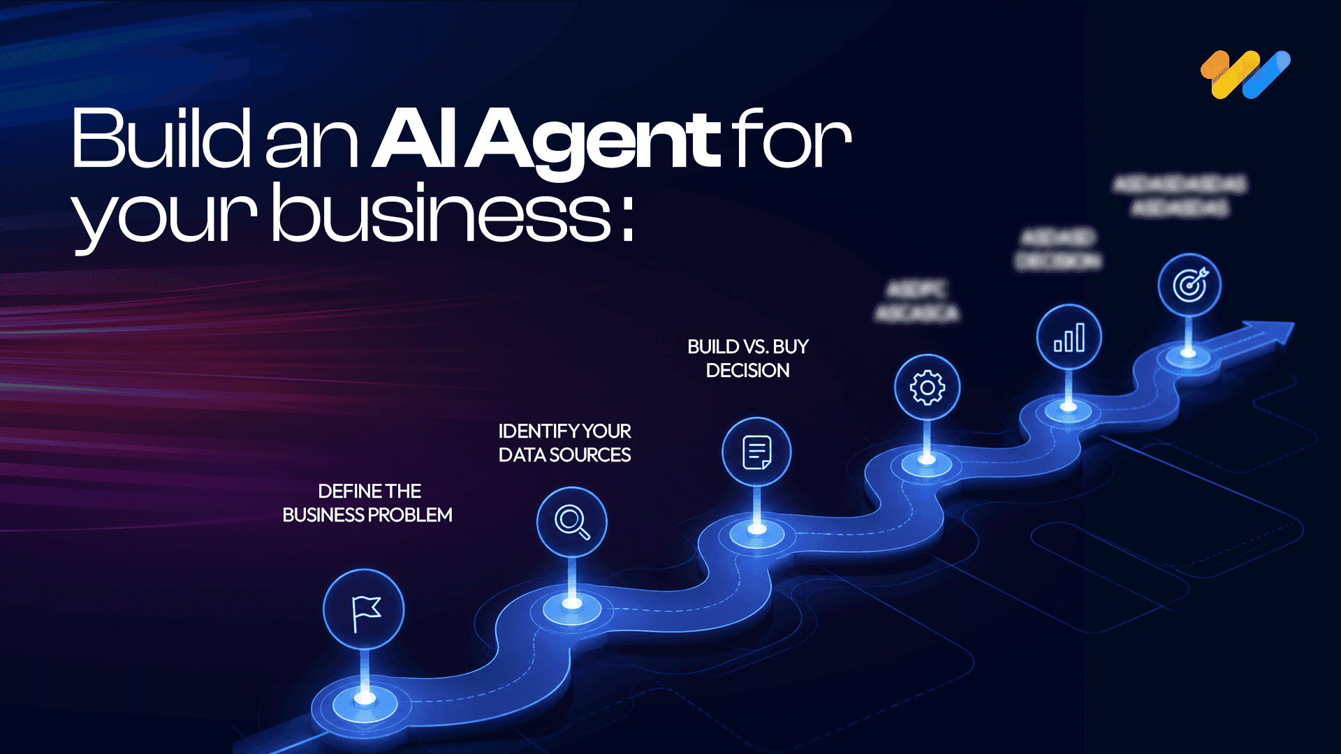
How to Build an AI Agent for Your Business: A Practical Guide (2026)
AI agents are no longer a future-facing experiment. Businesses across industries are using them to handle real workflows right now, and the
Read more...
AI and the Energy Crisis: How Data Centers Are Reshaping the Global Power Grid in 2026
AI data center energy consumption has become one of the defining infrastructure challenges of this decade. The numbers are no longer abstract.
Read more...
AI in the Supply Chain: Where Value Is Actually Created
AI adoption across supply chains is accelerating. Investment is growing, pilots are expanding, and technical capability is improving quickly.
Read more...
Vibe Coding in 2026: The Complete Guide to AI-Powered Development
Vibe coding is a natural-language-first approach to software development where you describe what you want in plain English and AI generates functional code for you.
Read more...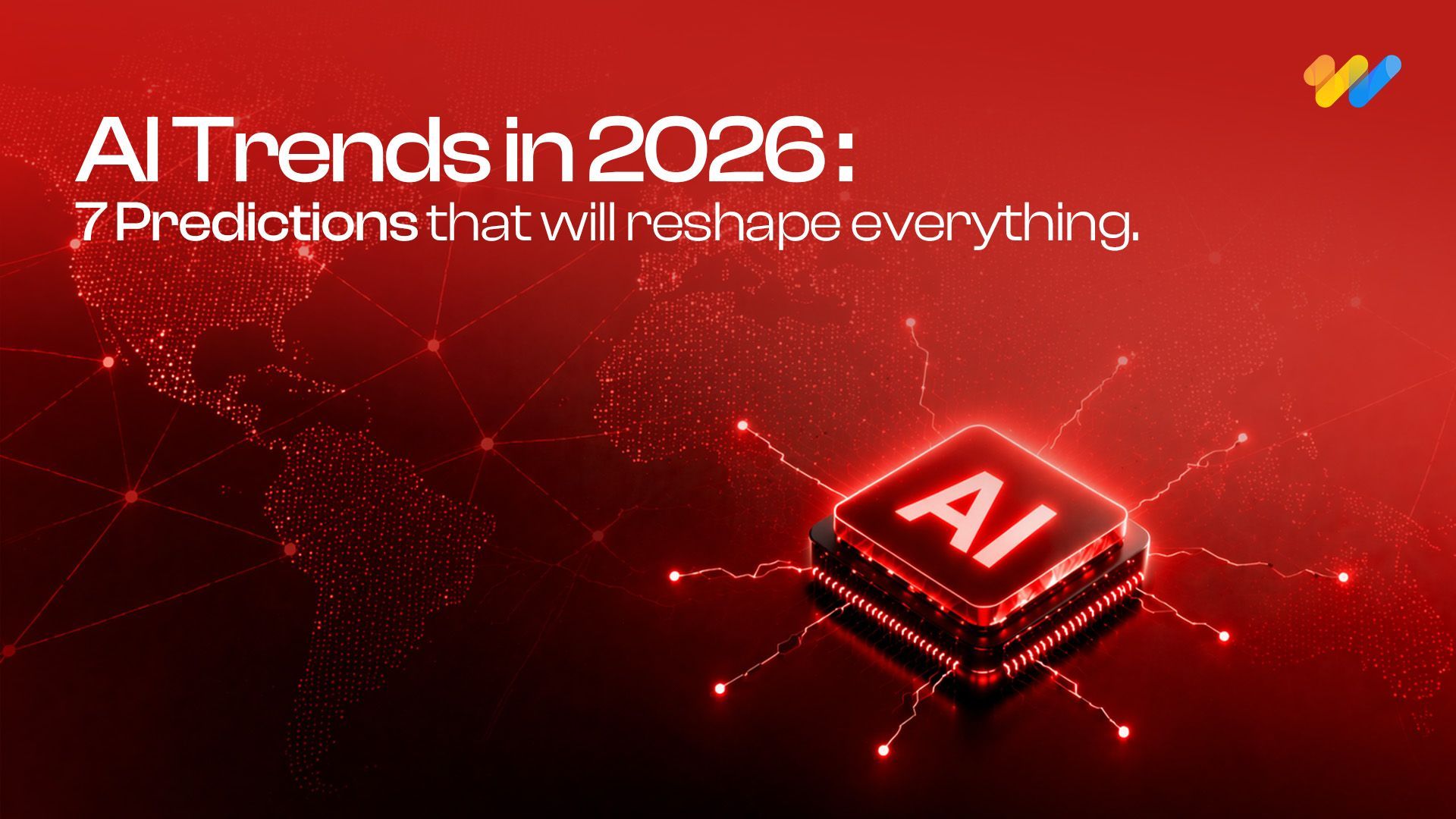
AI Trends in 2026: 7 Predictions That Will Reshape Every Industry
The most important AI predictions for 2026, agents, generative AI, industry transformation, governance and what's next. A practical guide for business and technology leaders.
Read more...
Real-Time Visibility in Logistics: Why Your Architecture Is Costing You More Than You Think
Here is a number worth pausing on: 45% of logistics organizations have real-time visibility into fewer than half their shipments.
Read more...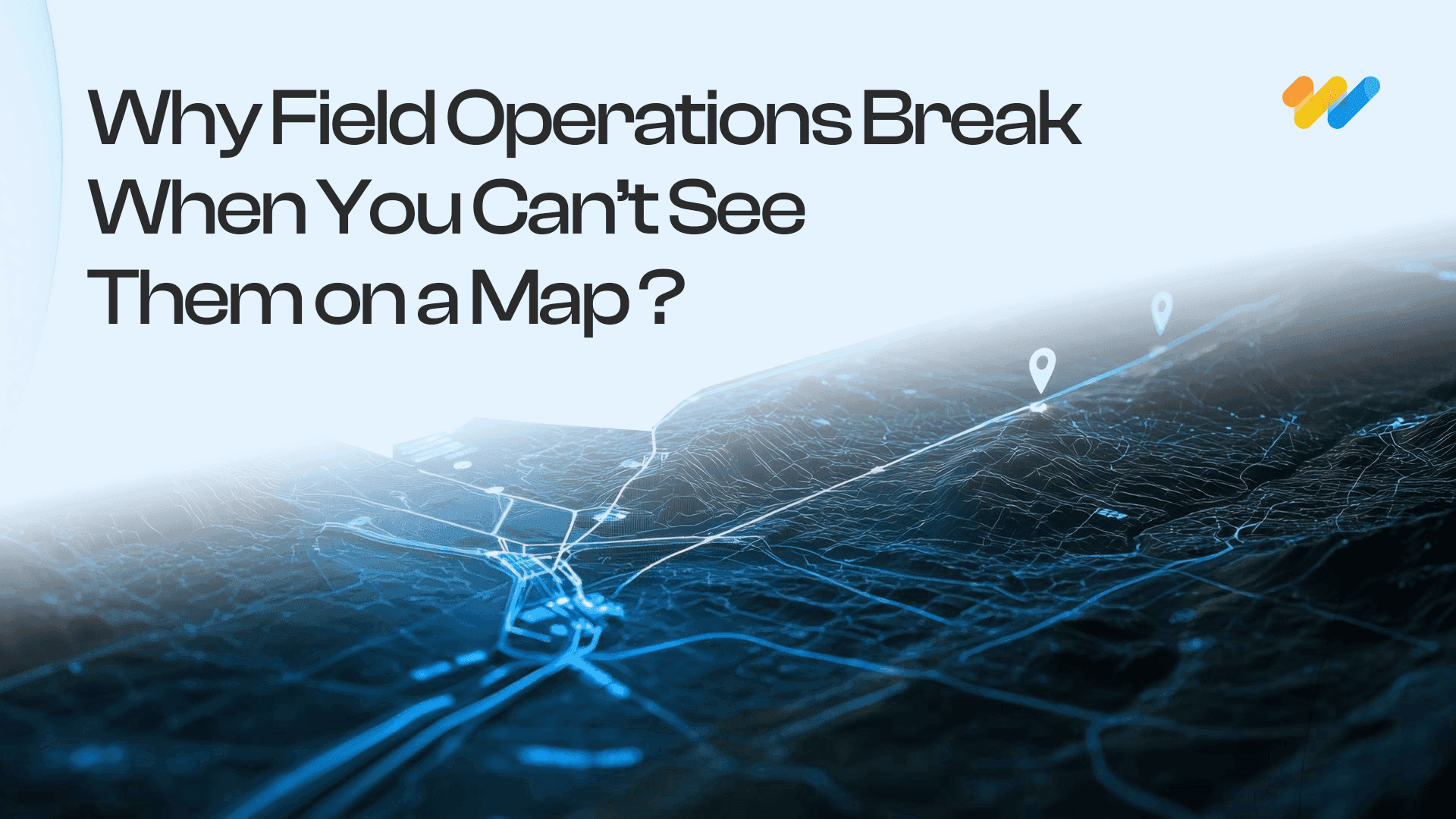
Why Field Operations Break When You Can’t See Them on a Map
Field operations rarely fail because teams are not working hard enough. They fail when leaders lose visibility into what is happening, where it is happening, and why.
Read more...
What Your GIS Data Actually Needs for GeoAI
We examined why many GeoAI projects fail before they even get started in the previous blog. Let's now discuss what makes GeoAI function in the real world.
Read more...
Why GeoAI Projects Fail Before They Even Start
GeoAI is currently omnipresent. In order to anticipate failures, automate decision-making, and make sense of intricate networks, utilities,
Read more...
GIS Drone Mapping: How Drones Are Powering the Next Era of Real-Time Geospatial Intelligence
GIS drone mapping is rapidly transforming how organizations collect, analyze, and act on geospatial data.
Read more...
Digital Twins & 3D GIS Modeling: Global Benefits, Challenges & Solutions
Digital twins and 3D GIS modeling are redefining how organizations plan, operate, and maintain physical asset
Read more...
GeoAI Explained: How Geospatial AI is Solving Real-World Challenges in the U.S.
GeoAI: short for Geospatial Artificial Intelligence is the convergence of geospatial data (location, maps, remote sensing, GPS, GIS systems)
Read more...
The ROI of Implementing a GIS Solution: A Business Case Study Approach
Relying on fragmented data and outdated mapping tools is no longer sustainable for organizations navigating complex,
Read more...
Building a Future-Ready Telecom Data Migration Framework: Tools, Automation, and Real-World Lessons
Telecom data migration is not just about moving data it's about ensuring scalability, security,
Read more...
The Telecom Data Migration Imperative: Challenges, Best Practices & Future-Ready Strategies
As telecom networks rapidly evolve from 4G to 5G and legacy OSS/BSS stacks shift
Read more...
Top 7 Emerging AI Trends to Watch in 2025
Pushing deeper into 2025, artificial intelligence continues to sprint from being a promising tool to
Read more...
Geospatial Revolution: Top 10 Industries Benefiting from GIS
Geographic Information Systems (GIS) have emerged as a powerful tool for businesses and organizations across various sectors.
Read more...
Empowering Smarter Cities: The Role of Geospatial Digital Twins in Urban Planning
Geographic Information Systems (GIS) have emerged as a powerful tool for businesses and organizations across various sectors.
Read more...
Enhancing Customer Experience with Location-Based Services Powered by GIS
Customer experience has emerged as a key differentiator for organizations across industries be it in utilities, retail or public services.
Read more...
Transforming Field Operations with Mobile GIS
Be it in utilities, transportation, or environmental management, field operations are complex and challenging.
Read more...
How GIS is transforming predictive maintenance in the utility sector
The utility sector is the backbone of the modern economy providing vital services like electricity, water, and gas to people and businesses.
Read more...
Case study spotlight: Streamlining HFC network management with GIS for a US-based Telecom Service Provider
GIS (Geographical Information System) has been crucial to the growth of the telecom sector, providing invaluable geospatial data that benefits even
Read more...
GIS In Action: Real-World Examples of How It's Used
Geographic Information Systems (GIS) have become indispensable tools across a multitude of industries, revolutionizing the way we understand, analyze, and interact with spatial data.
Read more...
Case Study Spotlight: Revolutionizing Utility Asset Management
At 12th Wonder, we are transforming the way utility companies manage their assets. In one of our recent projects, we partnered with a leading utility
Read more...
The Cutting-Edge Benefits of GIS For Telecom Networks
Geographic Information Systems (GIS) are making a big impact in the telecommunications world. Think of GIS as a powerful tool that transforms heaps of data into clear, useful maps.
Read more...
What is Mobile GIS? Here’s what you should know.
The world of Geographic Information Systems (GIS) is changing quickly, and mobile GIS is leading the way. At 12thWonder, we’re using this exciting technology to transform how field data
Read more...
A mix of Introductory and Advanced Geospatial Solutions: 12W's Approach
Geospatial solutions are revolutionizing the way we understand and interact with the space around us. We are at the forefront of this transformative wave, a company that has seamlessly integrated technology
Read more...
The Importance of Data Interoperability in Today’s Geospatial Solutions
Have you ever wondered what makes the digital world tick seamlessly? It’s the magic of data interoperability, especially in the realm of geospatial solutions.
Read more...
Leading Top 10 Best Geospatial Companies
This guide highlights the top 15 GIS (Geographic Information Systems) companies leading the way with their cutting-edge solutions in mapping and spatial analysis.
Read more...
Getting Started in QA Test Automation: Essential Tips for Beginners
Starting on the journey of Quality Assurance (QA) test automation can be both exciting and challenging, especially for companies taking their first steps in this domain.
Read more...
How to Choose the Right QA Services Provider for Your Business: Including a Checklist
In today’s competitive market, software quality assurance (QA) is vital for ensuring robust, reliable, and high-performing software solutions.
Read more...
Solve Your Business Challenges with 12th Wonder's Tailored Digital Transformation Solutions!
Ready to elevate your business with cutting-edge digital solutions? At 12th Wonder we offer a suite of innovative software services. Our goal is to empower your workforce and lead your business towards
Read more...
Integrating QA Test Automation and Manual Testing: A Balanced Approach in Software Development
In software development, you can achieving the highest quality of product by using a strategic blend of both QA test automation and manual testing. While automation is offers speed and repeatability
Read more...
5 Ways QA Automation Can Transform Your Business
Staying ahead of the competition requires including innovative approaches to improve efficiency and quality. This is where QA automation comes into play.
Read more...
Dictionary of GIS Terms
Aerial Photography Mapping: The creation of maps based on the interpretation and analysis of aerial photographs, utilizing differences in vantage points and angles to construct detailed
Read more...
Leading Top 15 Best Software Testing & Quality Assurance Global Companies
This guide highlights the top 15 software testing companies that consistently deliver high value from small, mighty teams. It emphasizes the critical role of QA testing in ensuring software quality
Read more...
Maximizing Business Value: The Transformative Power of Automation in Quality Assurance Services
The integration of automation in Quality Assurance (QA) services has transformed industries by enhancing efficiency, accuracy, and cost-effectiveness.
Read more...
Navigating the Pitfalls of Application Development: How We Ensure a Smooth Journey
The process of application development can be both exciting and daunting. From the spark of an idea to the polished end product, there are numerous stages where errors might occur.
Read more...
Quality Assurance Redefined: Your Path to Success with 12thWonder
Are you ready for help with ensuring the highest quality for your products? Collaborating with 12thWonder for Quality Assurance (QA) services opens the door to a transformative experience that
Read more...
Streamline Your Testing Process with 12th Wonder's Test Automation Services
In this ever-evolving world of software development, where changes happen at the drop of a hat, ensuring quality, speed, and reliability is absolutely essential.
Read more...
7 Ways QA Services Can Reduce Costs in Software Development
In today’s fast-paced world of software development, your company faces a myriad of challenges. Balancing quality and cost-effectiveness is a perpetual struggle.
Read more...