
Transforming Field Operations with Mobile GIS
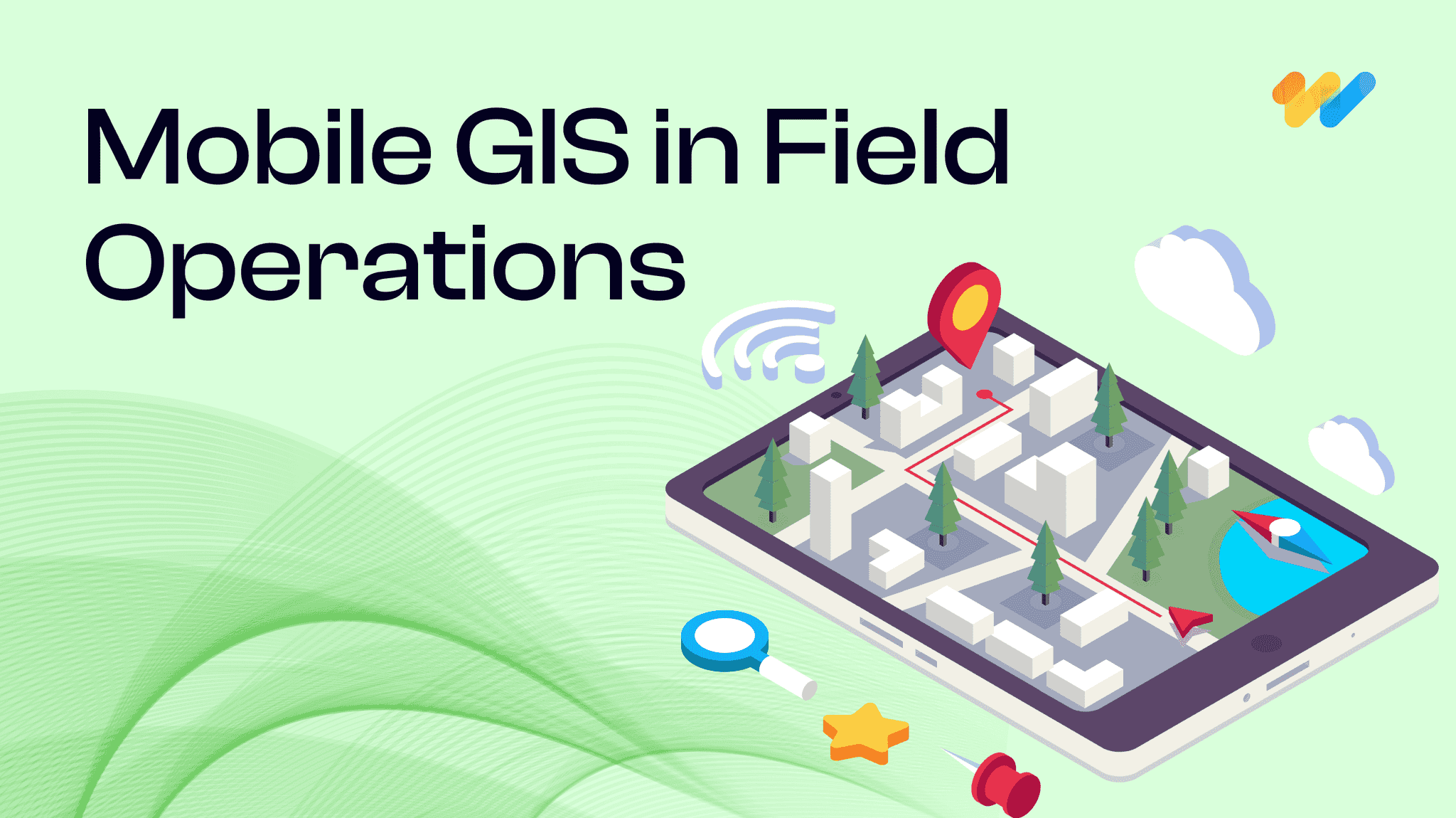
Be it in utilities, transportation, or environmental management, field operations are complex and challenging. Mobile Geographic Information Systems (GIS) is a game-changer for field crews allowing them to tap into real-time location-based data and insights revolutionizing field operations.
Let’s explore how mobile GIS is transforming field operations and how to use it effectively to drive the productivity of your field crew.
Key benefits of Mobile GIS in field operations
The ability to collect, analyze, and visualize data in real-time is crucial for efficient decision-making in field operations. Mobile GIS empowers field service crews to make informed decisions, employee safety, improve efficiency, and enhance customer satisfaction.
What is Mobile GIS?
Mobile GIS integrates geographic information with mobile devices such as smartphones, tablets, and rugged field computers allowing field personnel to access spatial data, maps, and applications on the move.
Here are 7 ways in which Mobile GIS transforms field operations:
1. Enhanced Situational Awareness
Mobile GIS provides field technicians the ability to gain a clear understanding of their surroundings in real time. With access to up-to-date maps, geocoded imageries and data, crews can quickly assess their surroundings, job requirements, and potential challenges. Mobile GIS integrated with field operations software also helps technicians optimize their routes and prioritize tasks. and respond effectively to changing conditions. For example, utility workers can pinpoint the exact location of underground cables or pipelines, reducing the risk of accidental damage. Similarly, emergency responders can visualize the extent of a disaster and allocate resources accordingly.
2. Improved work order management
Mobile GIS streamlines work order management by providing field crews with all necessary information at their fingertips. Work orders can be assigned digitally with field operations software, including detailed instructions, maps, and relevant location-based data. Technicians can access and update work order information in real time, ensuring that everyone is on the same page. Additionally, the ability to capture photos, signatures, and record observations directly in the field streamlines the work order closure process. Real-time field data collection eliminates the need for manual paperwork and ensures that all information is accurate and up-to-date.
3. Better asset management
Mobile GIS simplifies the management and maintenance of infrastructure assets (such as water pipelines, fiber networks, or sewer systems). With GIS mobile apps, field technicians can accurately locate and identify assets, facilitating efficient maintenance and repair operations. By combining asset data with geographic information, location-based mobile apps can gain valuable insights into asset performance and utilization. GIS mobile apps can transform field activities like.
- Asset inspections: The field crew can conduct inspections, record maintenance activities, and update asset attributes directly in the field.
- Work order tracking: Technicians can receive work orders on their mobile devices, complete tasks, and mark them as done.
- Monitor asset condition: Assess and update asset condition using photos, videos, and field notes.
4. Dynamic mapping and visualization
By using advanced visualization tools and real-time GIS, field teams can view interactive maps on their mobile devices, overlaying data layers such as customer locations, asset information, traffic conditions, land parcels, or environmental features. These maps provide context and help field personnel make informed decisions. This can be valuable in situations like
- Emergency response: During a natural disaster, emergency responders can quickly identify affected areas, evacuation routes, and critical facilities using real-time maps. Specific command control-based GIS mobile apps are highly useful to evacuate the people during high range of floods and meet the medical emergency.
- Infrastructure maintenance: Utility crews can locate underground pipes, power lines, and valves, minimizing downtime during repairs with location-based mobile apps. Deploying field crew in utility electrical and smart street light management can be done effectively with open-source GIS based mobile applications.
5. Increased efficiency and productivity
Mobile GIS allows organizations to use location-based data to increase the efficiency of field operations by optimizing resource allocation, faster incident management, timely risk mitigation, and boosting productivity
- Optimized scheduling and resource allocation: By leveraging real-time data, organizations can optimize route planning, considering factors such as traffic conditions, technician availability, and customer preferences. This leads to reduced travel time, increased productivity, and improved customer satisfaction.
- Efficient routing and navigation: Mobile GIS applications offer route optimization based on real-time traffic, road closures, and other factors. Field crews can optimize their routes, reduce travel time, save time and fuel by navigating to their destinations efficiently, and maximize productivity.
6. Real-time field data collection and verification
With the ability to capture GPS coordinates, photos, and other information directly on mobile devices, crews can create accurate and detailed records of their work in field data collection apps. By capturing data directly in the field, technicians can eliminate errors associated with manual data entry improve data quality and ensure data consistency.
This data can be used to update maps, create asset inventories, and identify trends over time. For example, environmental scientists can use mobile geospatial software to collect data on water quality, soil conditions, and wildlife habitats. Real-time monitoring of mineral commodities / food material can be done effectively with geo-enabled mobile applications, and it can be also used to ensure the safety of drivers.
7. Enhanced collaboration and communication
Mobile GIS enables real-time collaboration between field crews and the office, sharing maps and data to enhance decision-making and efficiency, benefiting utility workers and emergency responders alike.
Mobile geospatial software fosters collaboration among field teams, office staff, and external stakeholders with
- Real-time updates: Field data syncs with central databases, ensuring everyone has access to the latest information
- Field-to-office communication: Field workers can report issues, request additional resources, or seek guidance from supervisors.
- Public engagement: Share project updates with the public through interactive maps or mobile apps.
Maximizing benefits of Mobile-GIS
Mobile GIS has evolved to be a game-changer for the modern field workforce by optimizing workflows, reducing costs, and increasing productivity. As organizations embrace digital transformation, integrating mobile GIS into field operations becomes essential.
The key to successful mobile GIS implementation lies in user training, data accuracy, and seamless integration with existing systems. So, choosing the right Mobile GIS solution that aligns with specific business requirements is crucial. An experienced GIS service provider like 12thwonder can help you seamlessly adopt Mobile GIS to optimize your field operations.
Ready to transform your field operations with Mobile-GIS? Talk to our experts.
Recent Blogs

Will Data Centres Become the Biggest Bottleneck in AI?
AI demand is driving one of the largest expansions of computing infrastructure in recent history. According to a Reuters report published in July 2026, Hut 8 signed a $9.8 billion lease
Read more...
Start with pgvector: When Enterprise RAG Needs a Dedicated Vector Database
A RAG system can have a powerful LLM and still fail because the retrieval layer brings the wrong context.
Read more...
RAG vs Fine-Tuning: Which Approach Fits Your Enterprise Use Case?
In 2025, enterprise AI moved beyond experimentation and into real business workflows. McKinsey reported that 71% of organizations
Read more...
Beyond Model Accuracy: LLM Evaluation and Observability for Business AI
Organizations are moving beyond asking "Can we build it?" and increasingly asking "Can we trust it in production?
Read more...
Spatial RAG: The Missing Layer Between GIS Data and LLMs
Ask an LLM which substations are inside a flood zone, and it may answer confidently without performing a spatial query.
Read more...
Agentic Testing: The Complete 2026 Guide to Autonomous Software Testing
Traditional test automation helped teams scale quality, but modern applications are evolving faster than many automation frameworks
Read more...
What Is MCP? Understanding the Model Context Protocol for Enterprise AI
AI agents are rapidly becoming part of the enterprise technology stack. Organizations are deploying engineering copilots, customer
Read more...
Agentic GeoAI: AI Agents Transforming Enterprise GIS Workflows (2026)
A flood warning is issued. By the time analysts collect satellite imagery, run spatial models, validate results and distribute reports,
Read more...
Frontier AI Models Guide: OpenAI vs Claude vs Gemini (2026)
Every major AI provider is promising to be your enterprise AI platform. Many organizations initially evaluat
Read more...
Build vs Buy: AI Agent Platforms Compared (2026)
Enterprise AI has evolved beyond simple chatbots into operational ecosystems capable of workflow automation, system integration, and real-time decision-making
Read more...
Claude Fable 5: The Mythos-Class AI Model You Can Use in 2026
Anthropic's Claude Fable 5 is the first publicly available Mythos-class AI model, representing a significant step beyond traditional AI assistants.
Read more...
Multi-Agent Systems for Business: A Practical Enterprise Guide (2026)
Enterprise AI is quietly moving away from the idea of one system doing everything. The future of enterprise AI is increasingly being shaped by coordinated intelligence
Read more...
AI Agent Security: Defending Against Prompt Injection in Enterprise AI Systems
The rate of adoption of autonomous AI agents by businesses is growing quickly. Autonomous AI agents have become commonplace, where they are being used to automate workflows, engage with customers,
Read more...
AI Agent ROI: How to Measure It Before You Build
What was once considered cutting-edge technology reserved for large tech firms has now become part of everyday business operations
Read more...
RAG Explained: The Complete Guide to Retrieval-Augmented Generation for Enterprise AI (2026)
Somewhere in your organization right now, an AI assistant just answered a question with complete confidence and complete inaccuracy. It cited a policy from two years ago, a product that was discontinued last quarter,
Read more...
Small Language Models vs LLMs: A Practical Guide to Choosing the Right AI Model for Your Business
The conversation around enterprise AI in 2026 has shifted. While large language models like GPT-4 and Claude still dominate headlines, a quieter revolution is happening at the edge.
Read more...
EU AI Act Compliance Checklist: Everything Enterprises Need to Know Before 2027
AI governance has moved from a boardroom discussion to a legal obligation. The EU AI Act is the most comprehensive artificial intelligence policy framework enacted anywhere in the world and enforcement is already underway.
Read more...
How to Build an AI Agent for Your Business: A Practical Guide (2026)
AI agents are no longer a future-facing experiment. Businesses across industries are using them to handle real workflows right now, and the
Read more...
AI and the Energy Crisis: How Data Centers Are Reshaping the Global Power Grid in 2026
AI data center energy consumption has become one of the defining infrastructure challenges of this decade. The numbers are no longer abstract.
Read more...
AI in the Supply Chain: Where Value Is Actually Created
AI adoption across supply chains is accelerating. Investment is growing, pilots are expanding, and technical capability is improving quickly.
Read more...
Vibe Coding in 2026: The Complete Guide to AI-Powered Development
Vibe coding is a natural-language-first approach to software development where you describe what you want in plain English and AI generates functional code for you.
Read more...
AI Trends in 2026: 7 Predictions That Will Reshape Every Industry
The most important AI predictions for 2026, agents, generative AI, industry transformation, governance and what's next. A practical guide for business and technology leaders.
Read more...
Real-Time Visibility in Logistics: Why Your Architecture Is Costing You More Than You Think
Here is a number worth pausing on: 45% of logistics organizations have real-time visibility into fewer than half their shipments.
Read more...
Why Field Operations Break When You Can’t See Them on a Map
Field operations rarely fail because teams are not working hard enough. They fail when leaders lose visibility into what is happening, where it is happening, and why.
Read more...
What Your GIS Data Actually Needs for GeoAI
We examined why many GeoAI projects fail before they even get started in the previous blog. Let's now discuss what makes GeoAI function in the real world.
Read more...
Why GeoAI Projects Fail Before They Even Start
GeoAI is currently omnipresent. In order to anticipate failures, automate decision-making, and make sense of intricate networks, utilities,
Read more...
GIS Drone Mapping: How Drones Are Powering the Next Era of Real-Time Geospatial Intelligence
GIS drone mapping is rapidly transforming how organizations collect, analyze, and act on geospatial data.
Read more...
Digital Twins & 3D GIS Modeling: Global Benefits, Challenges & Solutions
Digital twins and 3D GIS modeling are redefining how organizations plan, operate, and maintain physical asset
Read more...
GeoAI Explained: How Geospatial AI is Solving Real-World Challenges in the U.S.
GeoAI: short for Geospatial Artificial Intelligence is the convergence of geospatial data (location, maps, remote sensing, GPS, GIS systems)
Read more...
The ROI of Implementing a GIS Solution: A Business Case Study Approach
Relying on fragmented data and outdated mapping tools is no longer sustainable for organizations navigating complex,
Read more...
The Telecom Data Migration Imperative: Challenges, Best Practices & Future-Ready Strategies
As telecom networks rapidly evolve from 4G to 5G and legacy OSS/BSS stacks shift
Read more...
Building a Future-Ready Telecom Data Migration Framework: Tools, Automation, and Real-World Lessons
Telecom data migration is not just about moving data it's about ensuring scalability, security,
Read more...
Top 7 Emerging AI Trends to Watch in 2025
Pushing deeper into 2025, artificial intelligence continues to sprint from being a promising tool to
Read more...
Geospatial Revolution: Top 10 Industries Benefiting from GIS
Geographic Information Systems (GIS) have emerged as a powerful tool for businesses and organizations across various sectors.
Read more...
Empowering Smarter Cities: The Role of Geospatial Digital Twins in Urban Planning
Geographic Information Systems (GIS) have emerged as a powerful tool for businesses and organizations across various sectors.
Read more...
Enhancing Customer Experience with Location-Based Services Powered by GIS
Customer experience has emerged as a key differentiator for organizations across industries be it in utilities, retail or public services.
Read more...
Emerging trends in GIS: Navigating the geospatial landscape
GIS or Geographical information systems has helped turn maps into advanced tools for problem-solving.
Read more...
How GIS is transforming predictive maintenance in the utility sector
The utility sector is the backbone of the modern economy providing vital services like electricity, water, and gas to people and businesses.
Read more...
Case study spotlight: Streamlining HFC network management with GIS for a US-based Telecom Service Provider
GIS (Geographical Information System) has been crucial to the growth of the telecom sector, providing invaluable geospatial data that benefits even
Read more...
GIS In Action: Real-World Examples of How It's Used
Geographic Information Systems (GIS) have become indispensable tools across a multitude of industries, revolutionizing the way we understand, analyze, and interact with spatial data.
Read more...
Case Study Spotlight: Revolutionizing Utility Asset Management
At 12th Wonder, we are transforming the way utility companies manage their assets. In one of our recent projects, we partnered with a leading utility
Read more...
The Cutting-Edge Benefits of GIS For Telecom Networks
Geographic Information Systems (GIS) are making a big impact in the telecommunications world. Think of GIS as a powerful tool that transforms heaps of data into clear, useful maps.
Read more...
What is Mobile GIS? Here’s what you should know.
The world of Geographic Information Systems (GIS) is changing quickly, and mobile GIS is leading the way. At 12thWonder, we’re using this exciting technology to transform how field data
Read more...
A mix of Introductory and Advanced Geospatial Solutions: 12W's Approach
Geospatial solutions are revolutionizing the way we understand and interact with the space around us. We are at the forefront of this transformative wave, a company that has seamlessly integrated technology
Read more...
The Importance of Data Interoperability in Today’s Geospatial Solutions
Have you ever wondered what makes the digital world tick seamlessly? It’s the magic of data interoperability, especially in the realm of geospatial solutions.
Read more...
Leading Top 10 Best Geospatial Companies
This guide highlights the top 15 GIS (Geographic Information Systems) companies leading the way with their cutting-edge solutions in mapping and spatial analysis.
Read more...
Getting Started in QA Test Automation: Essential Tips for Beginners
Starting on the journey of Quality Assurance (QA) test automation can be both exciting and challenging, especially for companies taking their first steps in this domain.
Read more...
How to Choose the Right QA Services Provider for Your Business: Including a Checklist
In today’s competitive market, software quality assurance (QA) is vital for ensuring robust, reliable, and high-performing software solutions.
Read more...
Solve Your Business Challenges with 12th Wonder's Tailored Digital Transformation Solutions!
Ready to elevate your business with cutting-edge digital solutions? At 12th Wonder we offer a suite of innovative software services. Our goal is to empower your workforce and lead your business towards
Read more...
Integrating QA Test Automation and Manual Testing: A Balanced Approach in Software Development
In software development, you can achieving the highest quality of product by using a strategic blend of both QA test automation and manual testing. While automation is offers speed and repeatability
Read more...
5 Ways QA Automation Can Transform Your Business
Staying ahead of the competition requires including innovative approaches to improve efficiency and quality. This is where QA automation comes into play.
Read more...
Dictionary of GIS Terms
Aerial Photography Mapping: The creation of maps based on the interpretation and analysis of aerial photographs, utilizing differences in vantage points and angles to construct detailed
Read more...
Leading Top 15 Best Software Testing & Quality Assurance Global Companies
This guide highlights the top 15 software testing companies that consistently deliver high value from small, mighty teams. It emphasizes the critical role of QA testing in ensuring software quality
Read more...
Maximizing Business Value: The Transformative Power of Automation in Quality Assurance Services
The integration of automation in Quality Assurance (QA) services has transformed industries by enhancing efficiency, accuracy, and cost-effectiveness.
Read more...
Navigating the Pitfalls of Application Development: How We Ensure a Smooth Journey
The process of application development can be both exciting and daunting. From the spark of an idea to the polished end product, there are numerous stages where errors might occur.
Read more...
Quality Assurance Redefined: Your Path to Success with 12thWonder
Are you ready for help with ensuring the highest quality for your products? Collaborating with 12thWonder for Quality Assurance (QA) services opens the door to a transformative experience that
Read more...
Streamline Your Testing Process with 12th Wonder's Test Automation Services
In this ever-evolving world of software development, where changes happen at the drop of a hat, ensuring quality, speed, and reliability is absolutely essential.
Read more...
7 Ways QA Services Can Reduce Costs in Software Development
In today’s fast-paced world of software development, your company faces a myriad of challenges. Balancing quality and cost-effectiveness is a perpetual struggle.
Read more...