
Dictionary of GIS Terms
Aerial Photography Mapping:
The creation of maps based on the interpretation and analysis of aerial photographs, utilizing differences in vantage points and angles to construct detailed representations of the Earth’s surface for planning and analysis.
Cartography and Map Design:
The art, science, and technology of creating maps, involving the representation of spatial information visually in order to communicate geographic data effectively and accurately.
Climate Change Mapping:
The process of using geographic data and mapping technologies to illustrate and analyze the effects of climate change, including rising temperatures, changing precipitation patterns, and extreme weather events.
Consulting Service:
Geospatial consulting services offer expert guidance on the strategic implementation and use of geospatial technologies. This includes Presales support, QA&QC, Staffing, Onshore and offshore support, Proof of support and Business process evaluation.
Data Services:
In the context of geospatial solutions, data services refer to the processes and technologies used for managing, storing, retrieving, and distributing geospatial data, facilitating decision-making processes across. It comprises data conflation, data standardization, data management across different sectors.
Environmental Geospatial Studies:
The application of geospatial technologies and analytical methods to environmental science, studying spatial patterns and processes affecting ecosystems, biodiversity, climate change, and natural resource management.
Enterprise GIS Framework:
An enterprise GIS framework is an integrated approach to managing and utilizing geographic information throughout an organization. It enables the sharing of GIS resources, data, and applications across different departments, improving collaboration and efficiency.
Geographic Coordinate Systems:
Frameworks that utilize latitude and longitude to pinpoint precise locations on the Earth’s surface, enabling accurate mapping and navigation worldwide.
Geographic Data Visualization:
The technique of representing spatial data through graphical forms, including maps and 3D models, to help users understand geographic patterns, relationships, and trends more effectively, enhancing the interpretability of complex spatial information. Digital Terrain Model (DTM), Digital Elevation Model (DEM) are important 3D models to determine the type of terrain and assets.
Geographic Information Science Education:
The academic field focused on teaching the principles, technologies, and applications of geographic information systems, including data collection, analysis, and visualization techniques.
Geofencing Technologies:
Digital tools that create defined virtual perimeters around real-world geographic areas, enabling automated alerts or actions when objects enter or leave those boundaries.
Geospatial Big Data Analytics:
The analysis of large volumes of geographic data from various sources to discover patterns, trends, and insights, supporting complex decision-making processes.
Geospatial Cloud Computing:
This concept involves leveraging cloud technology to store, process, and manage geospatial data, enabling scalable and efficient access to GIS resources and data analysis capabilities from anywhere.
Geospatial Data Integration:
The merging of geographical data from diverse sources into a coherent dataset, often involving the alignment of different coordinate systems, formats, and data models, to create a comprehensive spatial representation for analysis and decision-making.
Geospatial Data Inventory:
The inventory method incorporates both the in-scope and out-of-scope methodologies, especially when dealing with large-scale datasets, to minimize redundancy in the dataset.
Geospatial Data Management:
The discipline of handling spatial data, focusing on its efficient storage, retrieval, updating, and management within databases or GIS, ensuring data integrity and availability for analysis and application in various fields.
Geospatial Database Design:
The process of structuring databases to efficiently store, manage, and retrieve geographic information, optimizing the performance of spatial queries and data analysis.
Geospatial Intelligence (GEOINT):
This refers to the use of spatial data and imagery to support and enhance defense and intelligence operations. It involves analyzing geographically referenced activities on Earth to aid in decision-making for national security.
Geospatial Machine Learning:
The integration of machine learning algorithms with geographic data, enabling predictive models and analytics that can uncover patterns and make predictions based on spatial relationships and attributes.
Geospatial Metadata Management:
The organization and maintenance of metadata related to geospatial data, detailing the origin, content, condition, and other characteristics of data to improve its usability, management, and preservation.
Geospatial Policy and Regulation:
The set of legal frameworks and guidelines that govern the collection, use, sharing, and protection of geographic information, ensuring ethical and secure handling of spatial data.
Geospatial Predictive Modeling:
A method of using geospatial data to forecast future conditions or events based on patterns and trends identified through spatial analysis, aiding in strategic planning and risk management.
Geospatial Project Management:
The practice of managing projects that incorporate geospatial data and tools, focusing on the coordination of tasks, resources, and stakeholders involved in spatial data collection, analysis, and application.
Geospatial Software Development:
This is the process of creating applications that input, store, manage, analyze, and visualize geographic information, facilitating the processing of spatial data to support a wide range of applications from navigation to spatial analysis.
Geospatial Statistical Analysis:
The application of statistical techniques to spatial data, aiming to identify patterns, correlations, and trends within geographic datasets, supporting informed decision-making.
Geospatial Technology Trends:
The ongoing advancements and innovations in geospatial technology, encompassing developments in GIS, remote sensing, GPS, and other related fields that enhance the capabilities and applications of spatial data analysis.
GIS Application Development (Web, Mobile, Desktop, and Opensource):
This involves the design and creation of software applications that leverage geographic information systems (GIS) to analyze, visualize, and interpret location-based data for various applications, from urban planning to environmental management. It includes Presales support, QA&QC, Staffing, Onshore and offshore support, Proof of support, and Business process evaluation.
GIS Consulting Services:
These services assist organizations in developing and optimizing their GIS capabilities. This includes planning and implementing GIS projects, integrating GIS with other IT systems. It also includes Deployment of skilled manpower at project site, mutually agreed Techno-commercial proposal submission, Staffing of GIS developers/GIS analysts, Implementation of ESRI at client site, Data migration, and System integration.
GIS Data Collection Techniques:
These encompass a variety of methods to gather spatial data, including surveying, GPS tracking, remote sensing, and direct observation, tailored to capture accurate and comprehensive geographic information for analysis.
GIS for Crime Analysis:
Applying GIS tools to crime data to identify patterns, trends, and correlations in criminal activity, aiding law enforcement in crime prevention, strategic planning, and resource allocation.
GIS for Disaster Management:
The application of geographic information systems to support disaster response efforts, including preparation, crisis management, and recovery, by analyzing and visualizing critical spatial data.
GIS for Renewable Energy Planning:
The use of GIS technologies in identifying optimal locations for renewable energy sources like solar and wind farms, assessing environmental impacts, and planning infrastructure based on geographic and environmental data.
GIS in Public Health:
Leveraging geographic information systems to study health issues, disease spread, and access to healthcare services, improving public health planning and interventions based on spatial analysis of health data.
GIS in Transportation Planning:
This involves the application of geographic information systems to analyze and optimize the planning, design, operation, and management of transportation networks, enhancing route planning, traffic management, and infrastructure development.
Historical GIS (HGIS):
A discipline that integrates GIS technologies with historical research, mapping historical events, changes, and trends over time to analyze and visualize the spatial aspects of historical data.
Land Use and Land Cover Mapping:
The classification of geographical areas based on their natural attributes and human usage, providing essential information for environmental planning, urban development, and conservation efforts.
Location Intelligence (Navigational apps, Vehicle tracking):
This is the process of deriving meaningful insight from geospatial data to inform business strategies, operational decisions, and market analysis. It involves spatial analysis, data visualization, and predictive modeling.
Location-based Services (LBS):
These are services offered through mobile devices using geographic data to provide information relevant to the user’s current location, such as navigation, local business findings, and social networking services.
Mobile GIS Applications:
Specialized software developed for mobile devices that enable the collection, analysis, and visualization of geospatial data in the field, enhancing the mobility and flexibility of GIS tasks.
Natural Resource Management GIS:
The use of GIS technologies in the conservation and sustainable management of natural resources, including water, soil, and forests, facilitating the monitoring, analysis, and planning of resource use.
Open-source GIS Tools:
These are GIS software solutions that are available for free and can be openly modified and shared, encouraging collaboration and innovation within the geospatial community.
Real-time Geospatial Data:
This is geographic information that is collected, updated, and made available instantly, allowing for timely analysis and decision-making in dynamic environments.
Remote Sensing & LiDAR:
Remote sensing is the acquisition of information about an object or phenomenon without making physical contact, often via satellite or aerial imagery. LiDAR is a specific type of remote sensing that uses laser light to measure distances to the Earth’s surface, creating highly accurate 3D models.
Remote Sensing Data Processing:
The techniques used to analyze and interpret data collected by remote sensing technologies, such as satellites or drones, to extract useful information about the Earth’s surface and atmosphere.
Satellite Imagery Analysis:
The process of interpreting and extracting information from satellite images, employing techniques to analyze reflected and emitted radiation from the Earth’s surface to study environmental, geographical, and urban changes over time.
Spatial Analysis:
This is the technique of analyzing geographic patterns to identify spatial relationships, trends, and significant characteristics within geospatial data. It supports decision-making in various fields such as environmental science, urban planning, and public health.
Spatial Data Accuracy:
A measure reflecting how closely geographic data matches the actual locations and shapes of physical features on the ground, critical for reliable mapping and analysis.
Spatial Decision Support Systems:
Advanced systems that integrate geospatial data, analysis tools, and models to support and improve decision-making processes in spatial planning and management.
Spatial Econometrics:
A branch of econometrics that incorporates spatial relationships and geographic information into economic models, analyzing spatial data to understand regional economic patterns and influences.
Topographic Mapping:
The process of creating detailed maps that represent the Earth’s surface features, including elevations and terrain contours, to visualize landscape forms and slopes.
UAV (Drone) Mapping:
The use of unmanned aerial vehicles to capture geospatial data, including imagery and topographic information, for mapping, analysis, and planning purposes.
Urban Planning GIS:
The use of GIS technology in urban planning to analyze spatial information, supporting the design, implementation, and management of urban development projects, including zoning, land use planning, and infrastructure development.
Water Resource Management GIS:
Utilizing geographic information systems in the management, distribution, and conservation of water resources, enhancing the planning and implementation of water-related projects and policies.
Recent Blogs

Agentic Testing: The Complete 2026 Guide to Autonomous Software Testing
Traditional test automation helped teams scale quality, but modern applications are evolving faster than many automation frameworks
Read more...
What Is MCP? Understanding the Model Context Protocol for Enterprise AI
AI agents are rapidly becoming part of the enterprise technology stack. Organizations are deploying engineering copilots, customer
Read more...
Agentic GeoAI: AI Agents Transforming Enterprise GIS Workflows (2026)
A flood warning is issued. By the time analysts collect satellite imagery, run spatial models, validate results and distribute reports,
Read more...
Frontier AI Models Guide: OpenAI vs Claude vs Gemini (2026)
Every major AI provider is promising to be your enterprise AI platform. Many organizations initially evaluat
Read more...
Build vs Buy: AI Agent Platforms Compared (2026)
Enterprise AI has evolved beyond simple chatbots into operational ecosystems capable of workflow automation, system integration, and real-time decision-making
Read more...
Claude Fable 5: The Mythos-Class AI Model You Can Use in 2026
Anthropic's Claude Fable 5 is the first publicly available Mythos-class AI model, representing a significant step beyond traditional AI assistants.
Read more...
Multi-Agent Systems for Business: A Practical Enterprise Guide (2026)
Enterprise AI is quietly moving away from the idea of one system doing everything. The future of enterprise AI is increasingly being shaped by coordinated intelligence
Read more...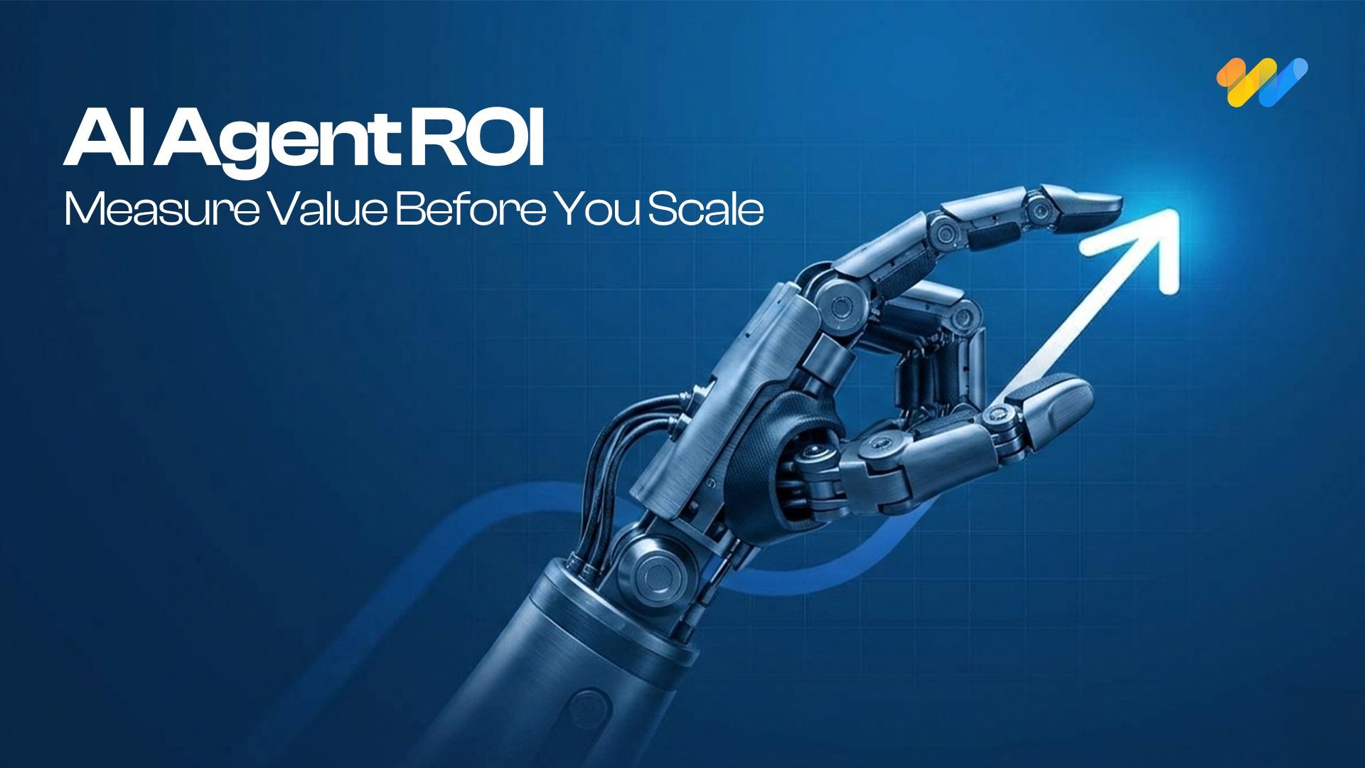
AI Agent ROI: How to Measure It Before You Build
What was once considered cutting-edge technology reserved for large tech firms has now become part of everyday business operations
Read more...
AI Agent Security: Defending Against Prompt Injection in Enterprise AI Systems
The rate of adoption of autonomous AI agents by businesses is growing quickly. Autonomous AI agents have become commonplace, where they are being used to automate workflows, engage with customers,
Read more...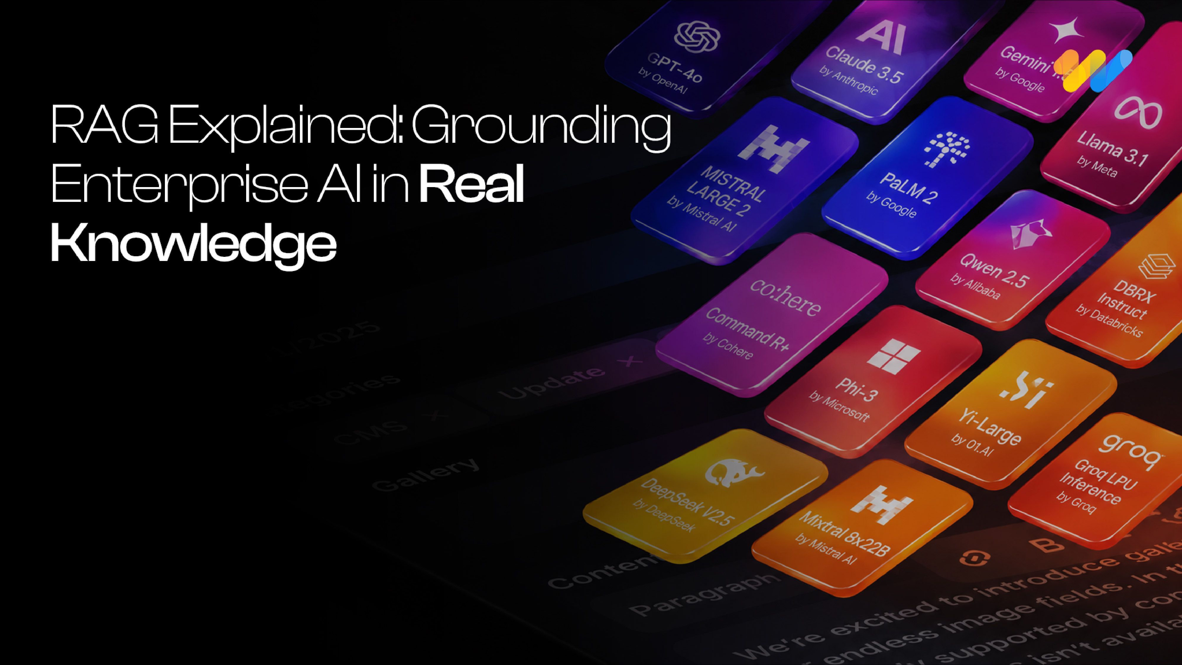
RAG Explained: The Complete Guide to Retrieval-Augmented Generation for Enterprise AI (2026)
Somewhere in your organization right now, an AI assistant just answered a question with complete confidence and complete inaccuracy. It cited a policy from two years ago, a product that was discontinued last quarter,
Read more...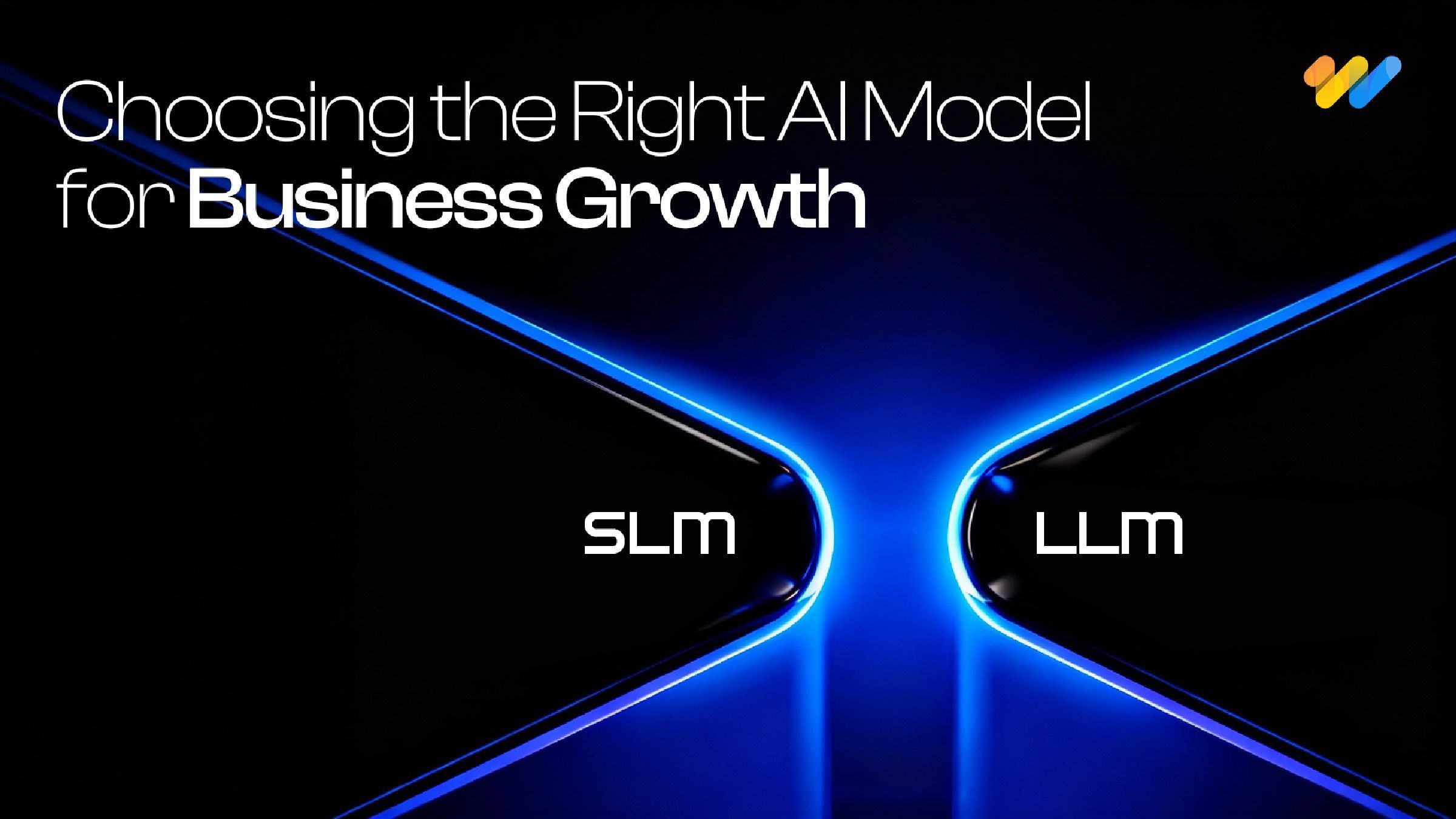
Small Language Models vs LLMs: A Practical Guide to Choosing the Right AI Model for Your Business
The conversation around enterprise AI in 2026 has shifted. While large language models like GPT-4 and Claude still dominate headlines, a quieter revolution is happening at the edge.
Read more...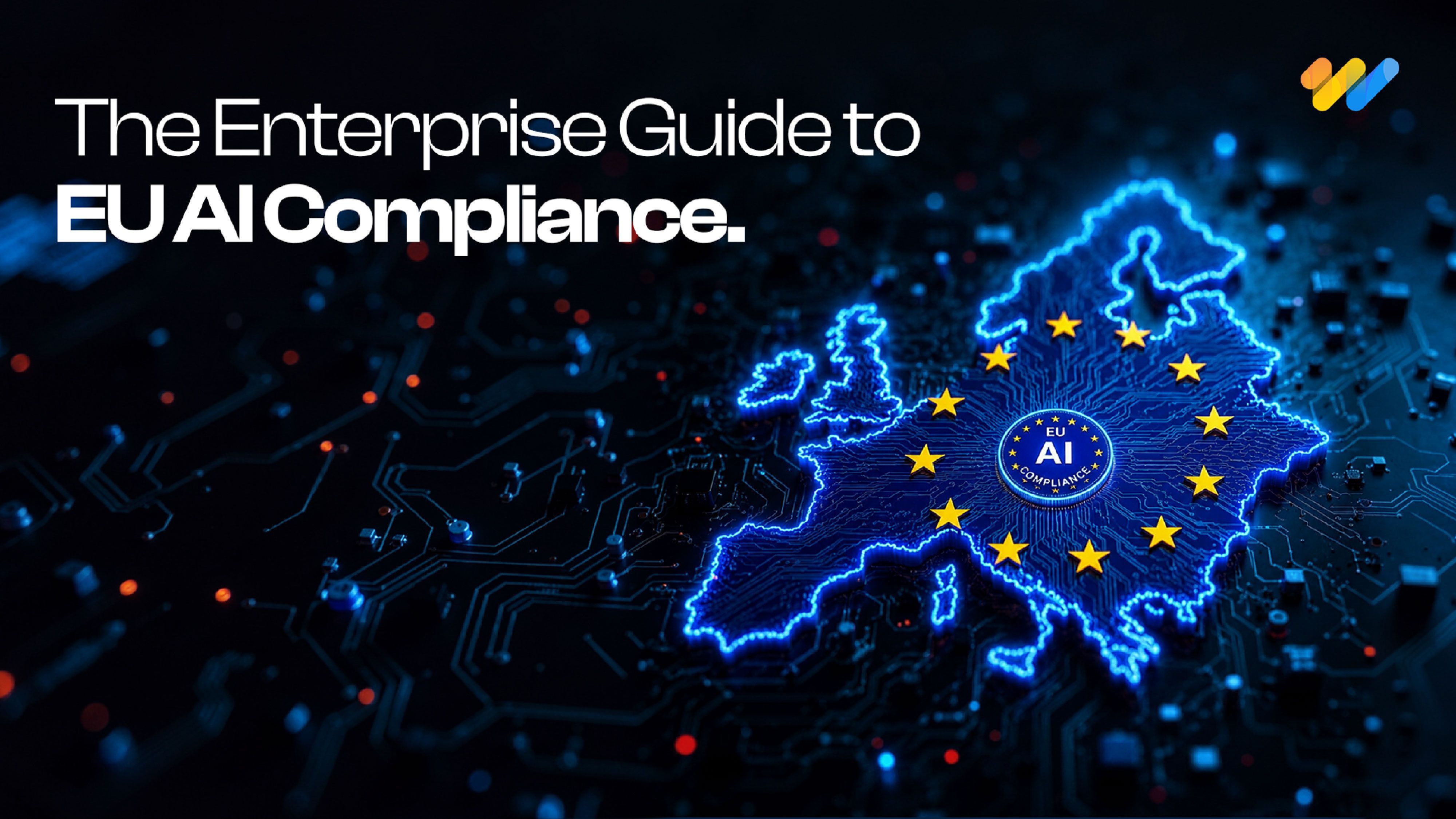
EU AI Act Compliance Checklist: Everything Enterprises Need to Know Before 2027
AI governance has moved from a boardroom discussion to a legal obligation. The EU AI Act is the most comprehensive artificial intelligence policy framework enacted anywhere in the world and enforcement is already underway.
Read more...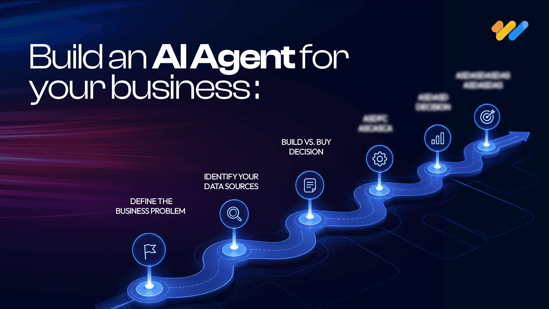
How to Build an AI Agent for Your Business: A Practical Guide (2026)
AI agents are no longer a future-facing experiment. Businesses across industries are using them to handle real workflows right now, and the
Read more...
AI and the Energy Crisis: How Data Centers Are Reshaping the Global Power Grid in 2026
AI data center energy consumption has become one of the defining infrastructure challenges of this decade. The numbers are no longer abstract.
Read more...
AI in the Supply Chain: Where Value Is Actually Created
AI adoption across supply chains is accelerating. Investment is growing, pilots are expanding, and technical capability is improving quickly.
Read more...
Vibe Coding in 2026: The Complete Guide to AI-Powered Development
Vibe coding is a natural-language-first approach to software development where you describe what you want in plain English and AI generates functional code for you.
Read more...
AI Trends in 2026: 7 Predictions That Will Reshape Every Industry
The most important AI predictions for 2026, agents, generative AI, industry transformation, governance and what's next. A practical guide for business and technology leaders.
Read more...
Real-Time Visibility in Logistics: Why Your Architecture Is Costing You More Than You Think
Here is a number worth pausing on: 45% of logistics organizations have real-time visibility into fewer than half their shipments.
Read more...
Why Field Operations Break When You Can’t See Them on a Map
Field operations rarely fail because teams are not working hard enough. They fail when leaders lose visibility into what is happening, where it is happening, and why.
Read more...
What Your GIS Data Actually Needs for GeoAI
We examined why many GeoAI projects fail before they even get started in the previous blog. Let's now discuss what makes GeoAI function in the real world.
Read more...
Why GeoAI Projects Fail Before They Even Start
GeoAI is currently omnipresent. In order to anticipate failures, automate decision-making, and make sense of intricate networks, utilities,
Read more...
GIS Drone Mapping: How Drones Are Powering the Next Era of Real-Time Geospatial Intelligence
GIS drone mapping is rapidly transforming how organizations collect, analyze, and act on geospatial data.
Read more...
Digital Twins & 3D GIS Modeling: Global Benefits, Challenges & Solutions
Digital twins and 3D GIS modeling are redefining how organizations plan, operate, and maintain physical asset
Read more...
GeoAI Explained: How Geospatial AI is Solving Real-World Challenges in the U.S.
GeoAI: short for Geospatial Artificial Intelligence is the convergence of geospatial data (location, maps, remote sensing, GPS, GIS systems)
Read more...
The ROI of Implementing a GIS Solution: A Business Case Study Approach
Relying on fragmented data and outdated mapping tools is no longer sustainable for organizations navigating complex,
Read more...
The Telecom Data Migration Imperative: Challenges, Best Practices & Future-Ready Strategies
As telecom networks rapidly evolve from 4G to 5G and legacy OSS/BSS stacks shift
Read more...
Building a Future-Ready Telecom Data Migration Framework: Tools, Automation, and Real-World Lessons
Telecom data migration is not just about moving data it's about ensuring scalability, security,
Read more...
Top 7 Emerging AI Trends to Watch in 2025
Pushing deeper into 2025, artificial intelligence continues to sprint from being a promising tool to
Read more...
Geospatial Revolution: Top 10 Industries Benefiting from GIS
Geographic Information Systems (GIS) have emerged as a powerful tool for businesses and organizations across various sectors.
Read more...
Empowering Smarter Cities: The Role of Geospatial Digital Twins in Urban Planning
Geographic Information Systems (GIS) have emerged as a powerful tool for businesses and organizations across various sectors.
Read more...
Enhancing Customer Experience with Location-Based Services Powered by GIS
Customer experience has emerged as a key differentiator for organizations across industries be it in utilities, retail or public services.
Read more...
Transforming Field Operations with Mobile GIS
Be it in utilities, transportation, or environmental management, field operations are complex and challenging.
Read more...
Emerging trends in GIS: Navigating the geospatial landscape
GIS or Geographical information systems has helped turn maps into advanced tools for problem-solving.
Read more...
How GIS is transforming predictive maintenance in the utility sector
The utility sector is the backbone of the modern economy providing vital services like electricity, water, and gas to people and businesses.
Read more...
Case study spotlight: Streamlining HFC network management with GIS for a US-based Telecom Service Provider
GIS (Geographical Information System) has been crucial to the growth of the telecom sector, providing invaluable geospatial data that benefits even
Read more...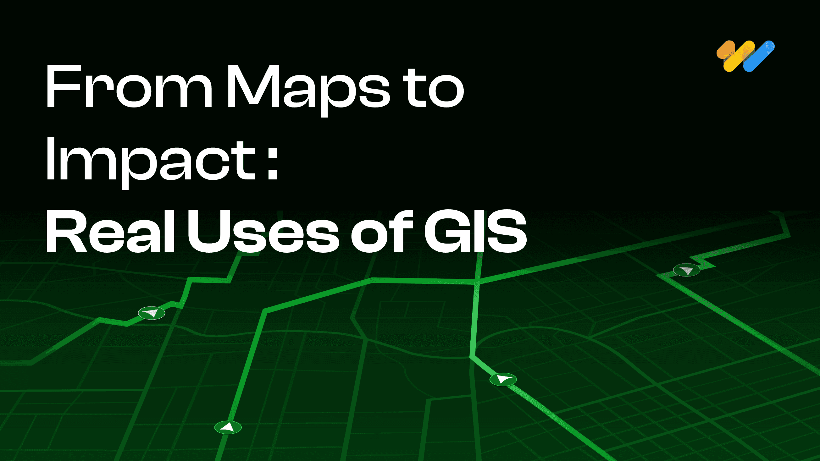
GIS In Action: Real-World Examples of How It's Used
Geographic Information Systems (GIS) have become indispensable tools across a multitude of industries, revolutionizing the way we understand, analyze, and interact with spatial data.
Read more...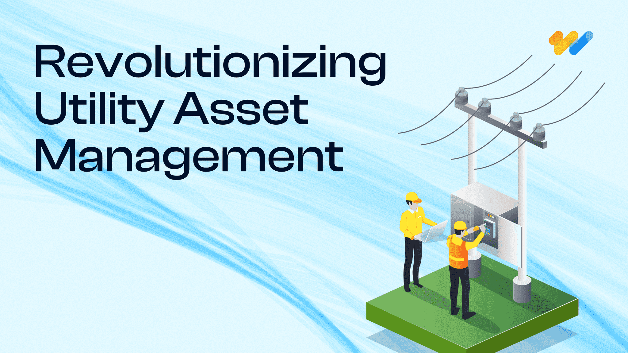
Case Study Spotlight: Revolutionizing Utility Asset Management
At 12th Wonder, we are transforming the way utility companies manage their assets. In one of our recent projects, we partnered with a leading utility
Read more...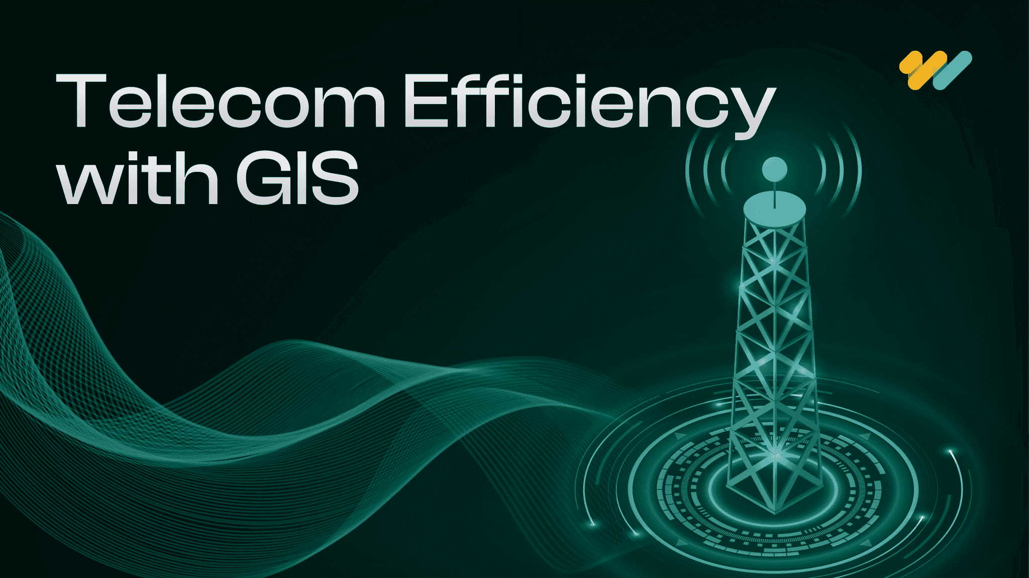
The Cutting-Edge Benefits of GIS For Telecom Networks
Geographic Information Systems (GIS) are making a big impact in the telecommunications world. Think of GIS as a powerful tool that transforms heaps of data into clear, useful maps.
Read more...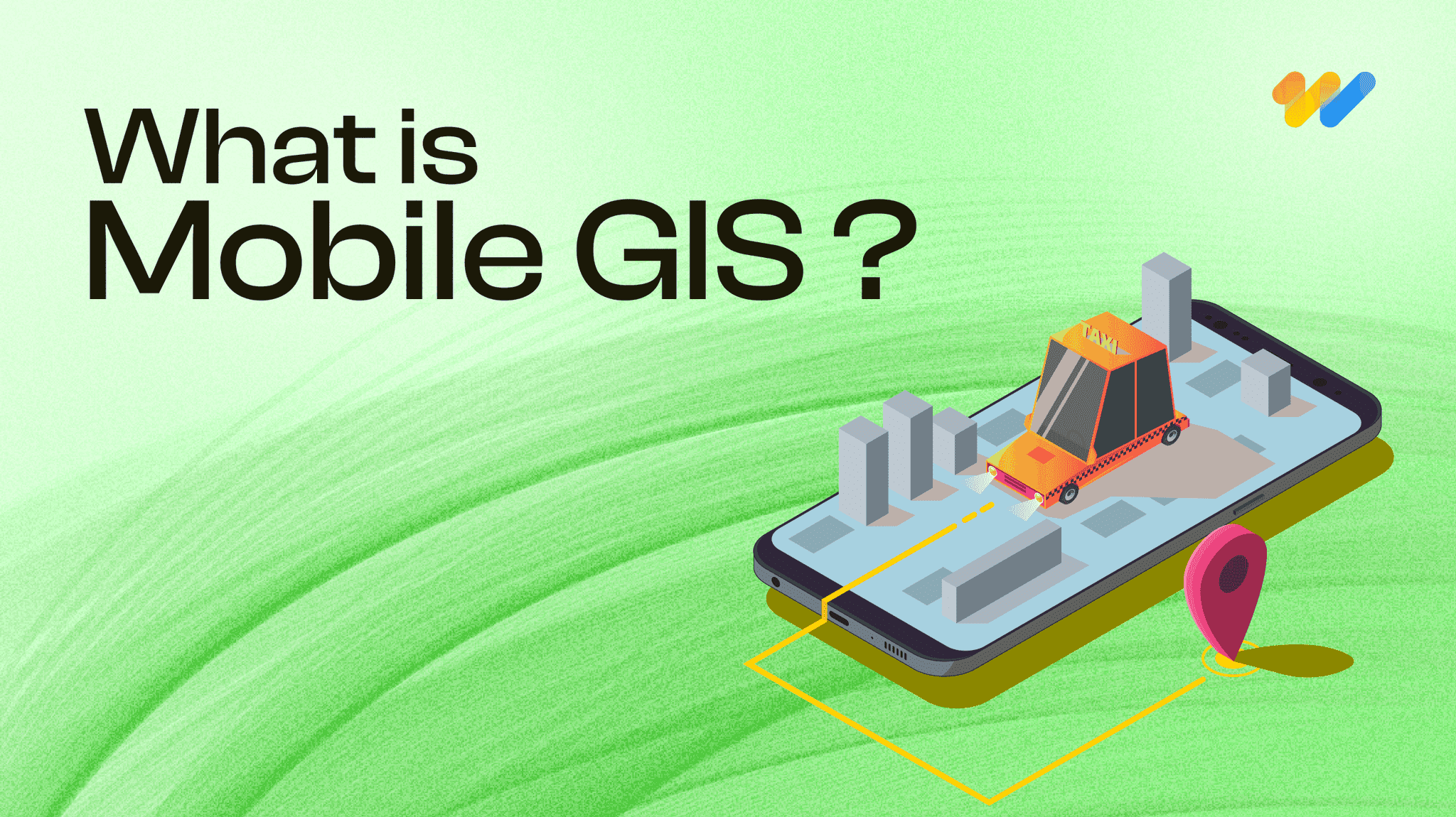
What is Mobile GIS? Here’s what you should know.
The world of Geographic Information Systems (GIS) is changing quickly, and mobile GIS is leading the way. At 12thWonder, we’re using this exciting technology to transform how field data
Read more...
A mix of Introductory and Advanced Geospatial Solutions: 12W's Approach
Geospatial solutions are revolutionizing the way we understand and interact with the space around us. We are at the forefront of this transformative wave, a company that has seamlessly integrated technology
Read more...
The Importance of Data Interoperability in Today’s Geospatial Solutions
Have you ever wondered what makes the digital world tick seamlessly? It’s the magic of data interoperability, especially in the realm of geospatial solutions.
Read more...
Leading Top 10 Best Geospatial Companies
This guide highlights the top 15 GIS (Geographic Information Systems) companies leading the way with their cutting-edge solutions in mapping and spatial analysis.
Read more...
Getting Started in QA Test Automation: Essential Tips for Beginners
Starting on the journey of Quality Assurance (QA) test automation can be both exciting and challenging, especially for companies taking their first steps in this domain.
Read more...
How to Choose the Right QA Services Provider for Your Business: Including a Checklist
In today’s competitive market, software quality assurance (QA) is vital for ensuring robust, reliable, and high-performing software solutions.
Read more...
Solve Your Business Challenges with 12th Wonder's Tailored Digital Transformation Solutions!
Ready to elevate your business with cutting-edge digital solutions? At 12th Wonder we offer a suite of innovative software services. Our goal is to empower your workforce and lead your business towards
Read more...
Integrating QA Test Automation and Manual Testing: A Balanced Approach in Software Development
In software development, you can achieving the highest quality of product by using a strategic blend of both QA test automation and manual testing. While automation is offers speed and repeatability
Read more...
5 Ways QA Automation Can Transform Your Business
Staying ahead of the competition requires including innovative approaches to improve efficiency and quality. This is where QA automation comes into play.
Read more...
Leading Top 15 Best Software Testing & Quality Assurance Global Companies
This guide highlights the top 15 software testing companies that consistently deliver high value from small, mighty teams. It emphasizes the critical role of QA testing in ensuring software quality
Read more...
Navigating the Pitfalls of Application Development: How We Ensure a Smooth Journey
The process of application development can be both exciting and daunting. From the spark of an idea to the polished end product, there are numerous stages where errors might occur.
Read more...
Maximizing Business Value: The Transformative Power of Automation in Quality Assurance Services
The integration of automation in Quality Assurance (QA) services has transformed industries by enhancing efficiency, accuracy, and cost-effectiveness.
Read more...
Quality Assurance Redefined: Your Path to Success with 12thWonder
Are you ready for help with ensuring the highest quality for your products? Collaborating with 12thWonder for Quality Assurance (QA) services opens the door to a transformative experience that
Read more...
Streamline Your Testing Process with 12th Wonder's Test Automation Services
In this ever-evolving world of software development, where changes happen at the drop of a hat, ensuring quality, speed, and reliability is absolutely essential.
Read more...
7 Ways QA Services Can Reduce Costs in Software Development
In today’s fast-paced world of software development, your company faces a myriad of challenges. Balancing quality and cost-effectiveness is a perpetual struggle.
Read more...