Will Data Centres Become the Biggest Bottleneck in AI?
AI demand is driving one of the largest expansions of computing infrastructure in recent history. According to a Reuters report published in July 2026, Hut 8 signed a $9.8 billion lease
Read more...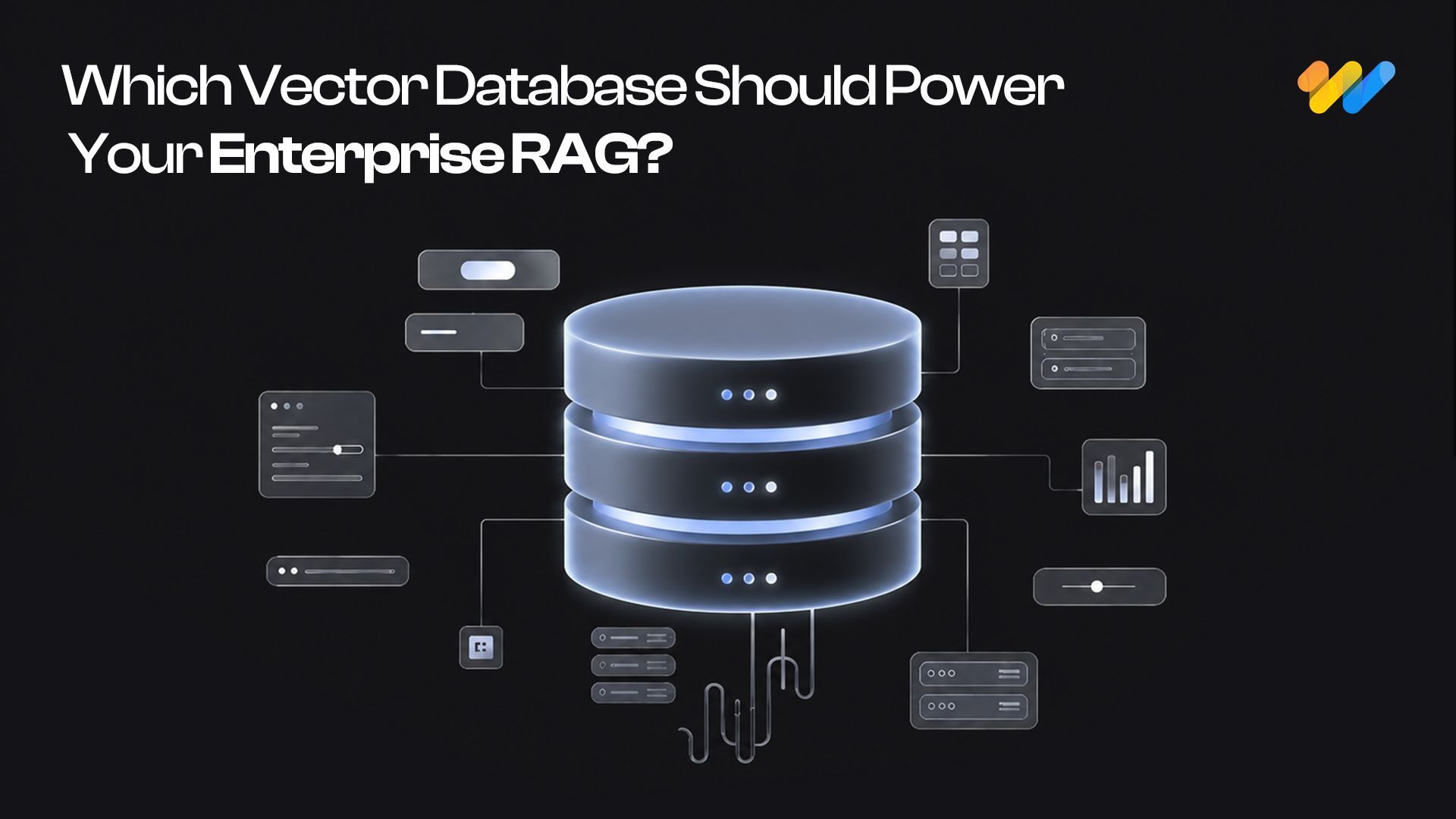
Start with pgvector: When Enterprise RAG Needs a Dedicated Vector Database
A RAG system can have a powerful LLM and still fail because the retrieval layer brings the wrong context.
Read more...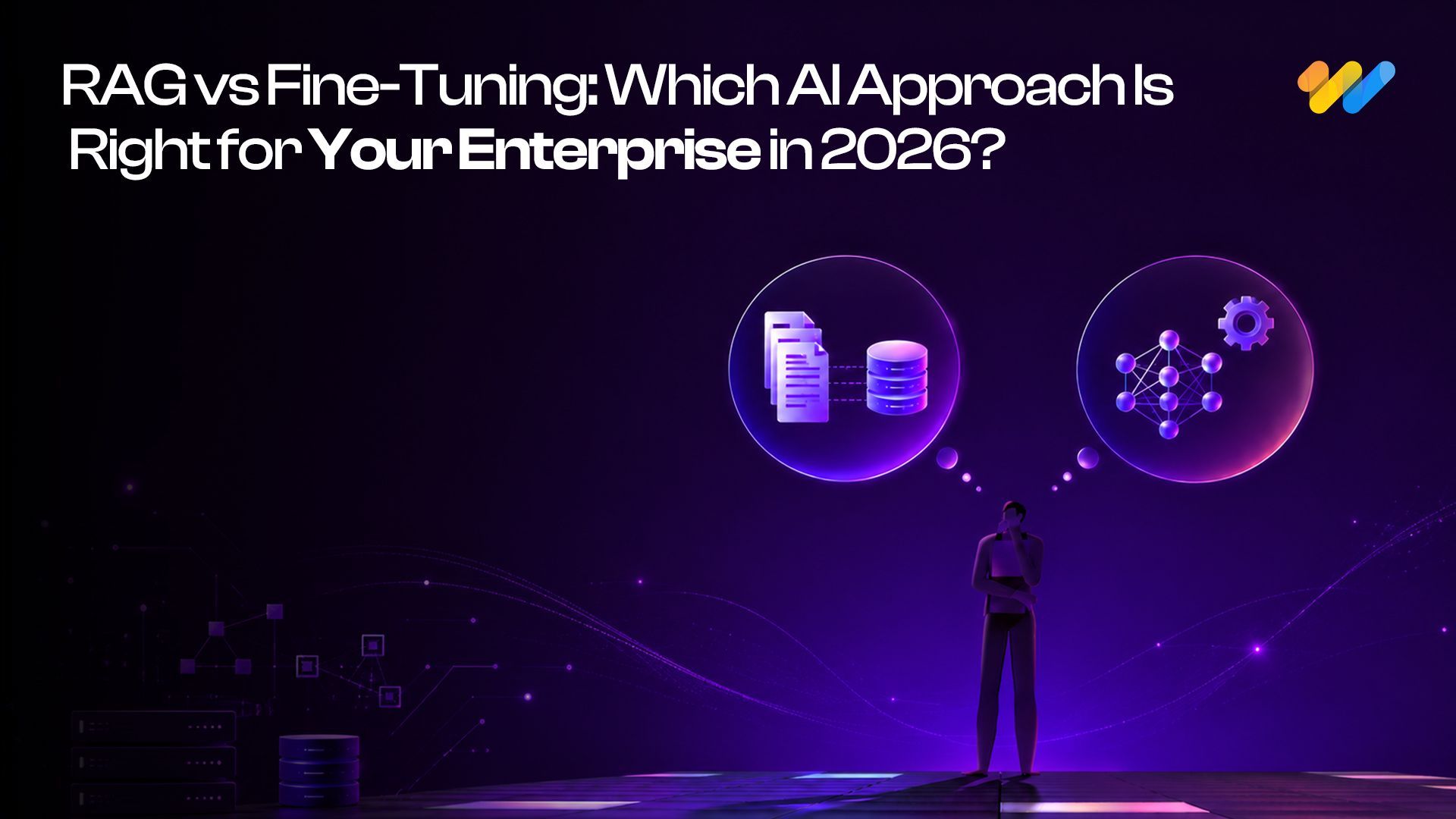
RAG vs Fine-Tuning: Which Approach Fits Your Enterprise Use Case?
In 2025, enterprise AI moved beyond experimentation and into real business workflows. McKinsey reported that 71% of organizations
Read more...
Beyond Model Accuracy: LLM Evaluation and Observability for Business AI
Organizations are moving beyond asking "Can we build it?" and increasingly asking "Can we trust it in production?
Read more...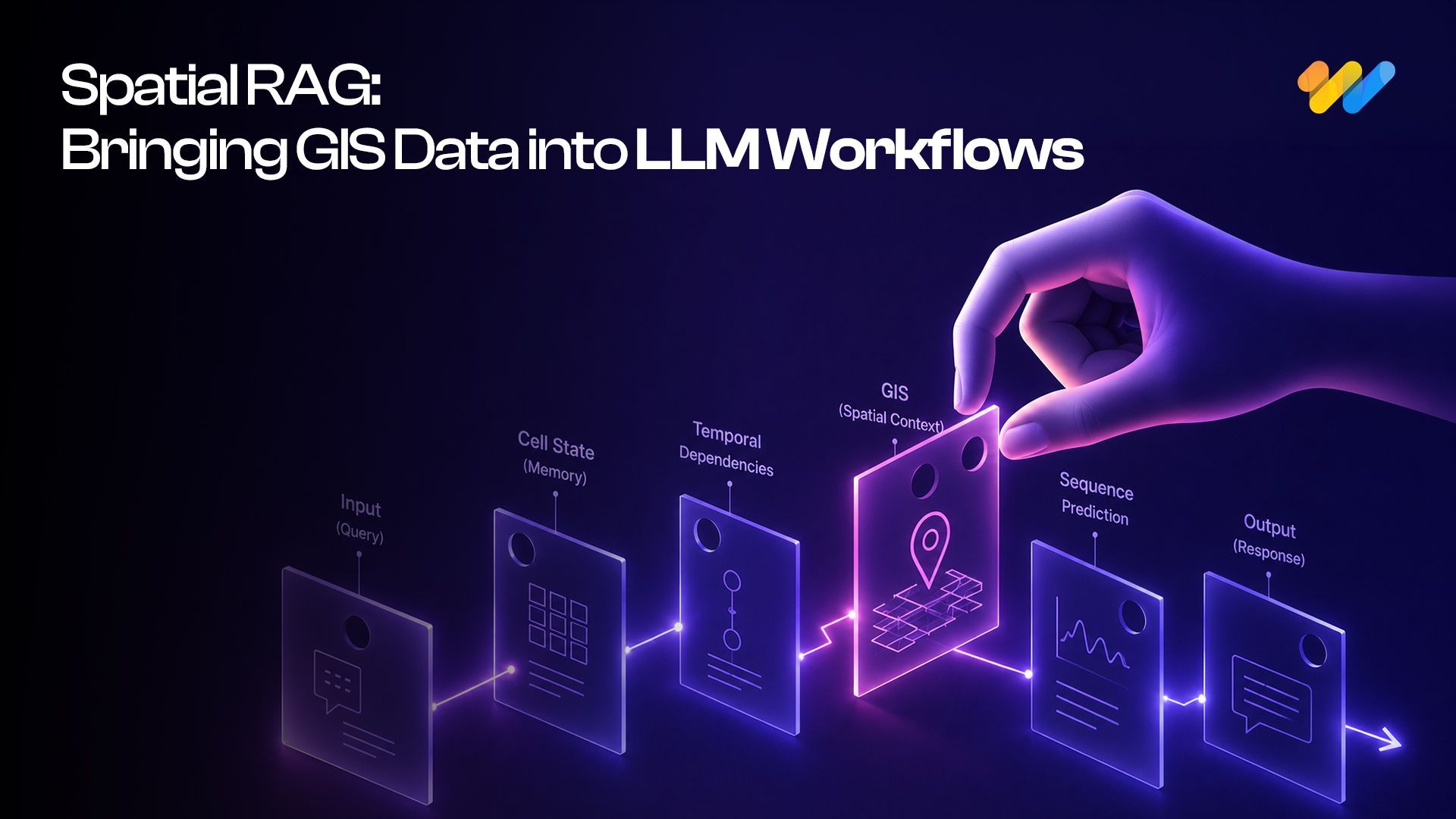
Spatial RAG: The Missing Layer Between GIS Data and LLMs
Ask an LLM which substations are inside a flood zone, and it may answer confidently without performing a spatial query.
Read more...
Agentic Testing: The Complete 2026 Guide to Autonomous Software Testing
Traditional test automation helped teams scale quality, but modern applications are evolving faster than many automation frameworks
Read more...
What Is MCP? Understanding the Model Context Protocol for Enterprise AI
AI agents are rapidly becoming part of the enterprise technology stack. Organizations are deploying engineering copilots, customer
Read more...
Agentic GeoAI: AI Agents Transforming Enterprise GIS Workflows (2026)
A flood warning is issued. By the time analysts collect satellite imagery, run spatial models, validate results and distribute reports,
Read more...
Frontier AI Models Guide: OpenAI vs Claude vs Gemini (2026)
Every major AI provider is promising to be your enterprise AI platform. Many organizations initially evaluat
Read more...
Build vs Buy: AI Agent Platforms Compared (2026)
Enterprise AI has evolved beyond simple chatbots into operational ecosystems capable of workflow automation, system integration, and real-time decision-making
Read more...
Claude Fable 5: The Mythos-Class AI Model You Can Use in 2026
Anthropic's Claude Fable 5 is the first publicly available Mythos-class AI model, representing a significant step beyond traditional AI assistants.
Read more...
Multi-Agent Systems for Business: A Practical Enterprise Guide (2026)
Enterprise AI is quietly moving away from the idea of one system doing everything. The future of enterprise AI is increasingly being shaped by coordinated intelligence
Read more...
AI Agent Security: Defending Against Prompt Injection in Enterprise AI Systems
The rate of adoption of autonomous AI agents by businesses is growing quickly. Autonomous AI agents have become commonplace, where they are being used to automate workflows, engage with customers,
Read more...
AI Agent ROI: How to Measure It Before You Build
What was once considered cutting-edge technology reserved for large tech firms has now become part of everyday business operations
Read more...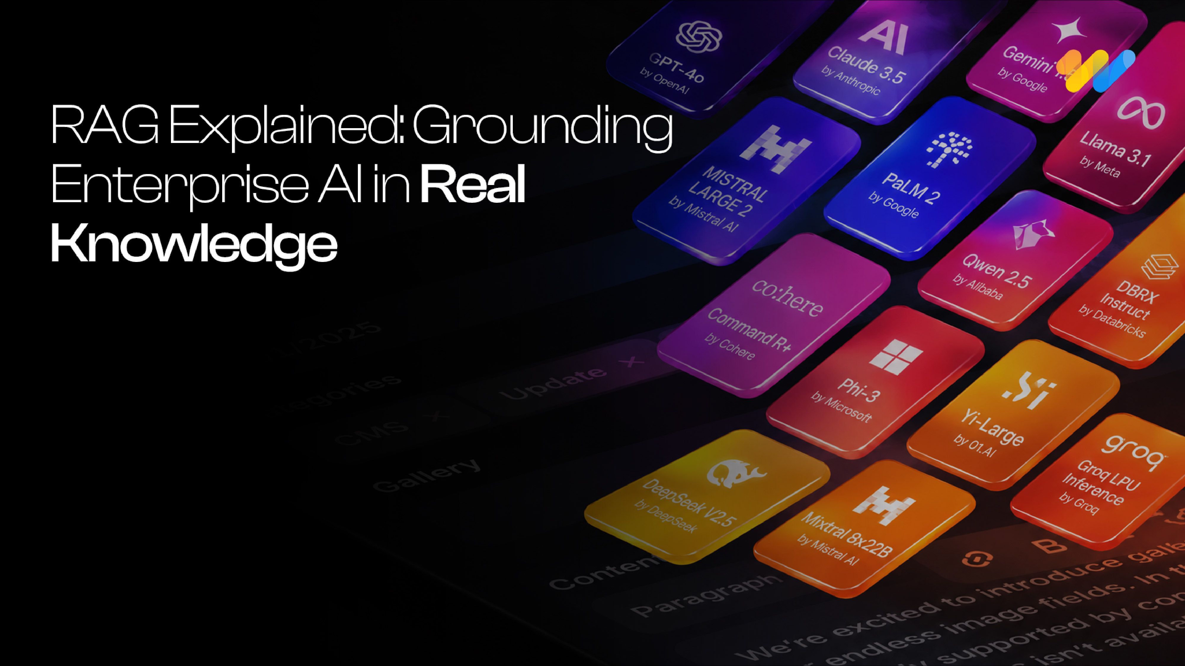
RAG Explained: The Complete Guide to Retrieval-Augmented Generation for Enterprise AI (2026)
Somewhere in your organization right now, an AI assistant just answered a question with complete confidence and complete inaccuracy. It cited a policy from two years ago, a product that was discontinued last quarter,
Read more...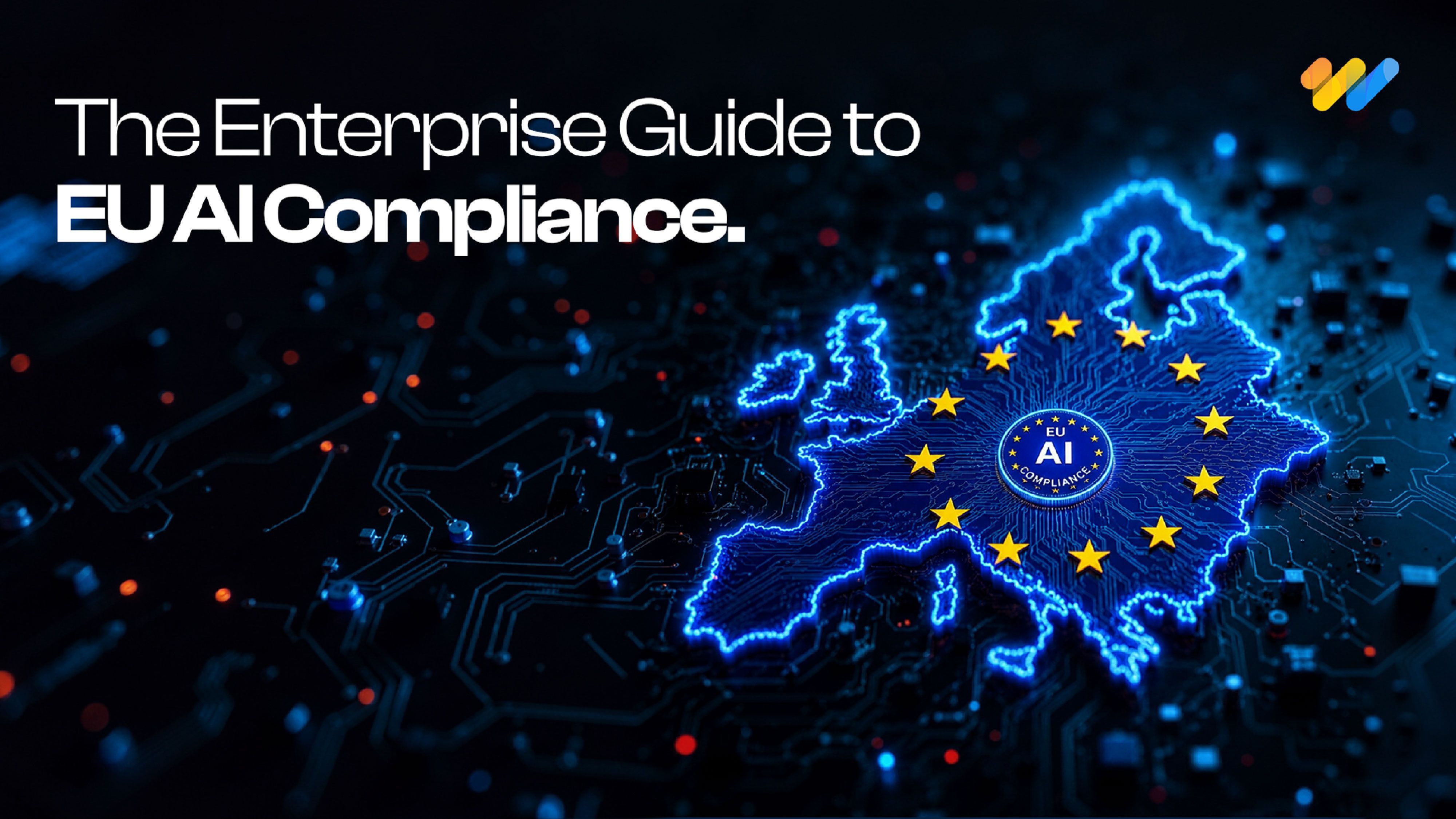
EU AI Act Compliance Checklist: Everything Enterprises Need to Know Before 2027
AI governance has moved from a boardroom discussion to a legal obligation. The EU AI Act is the most comprehensive artificial intelligence policy framework enacted anywhere in the world and enforcement is already underway.
Read more...
Small Language Models vs LLMs: A Practical Guide to Choosing the Right AI Model for Your Business
The conversation around enterprise AI in 2026 has shifted. While large language models like GPT-4 and Claude still dominate headlines, a quieter revolution is happening at the edge.
Read more...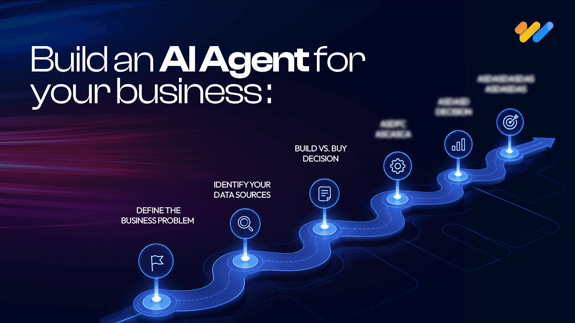
How to Build an AI Agent for Your Business: A Practical Guide (2026)
AI agents are no longer a future-facing experiment. Businesses across industries are using them to handle real workflows right now, and the
Read more...
AI and the Energy Crisis: How Data Centers Are Reshaping the Global Power Grid in 2026
AI data center energy consumption has become one of the defining infrastructure challenges of this decade. The numbers are no longer abstract.
Read more...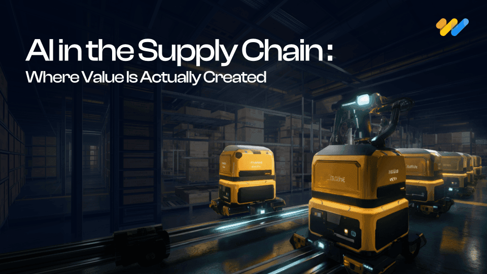
AI in the Supply Chain: Where Value Is Actually Created
AI adoption across supply chains is accelerating. Investment is growing, pilots are expanding, and technical capability is improving quickly.
Read more...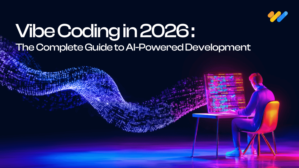
Vibe Coding in 2026: The Complete Guide to AI-Powered Development
Vibe coding is a natural-language-first approach to software development where you describe what you want in plain English and AI generates functional code for you.
Read more...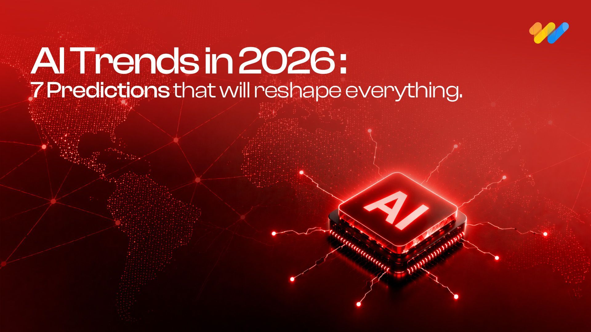
AI Trends in 2026: 7 Predictions That Will Reshape Every Industry
The most important AI predictions for 2026, agents, generative AI, industry transformation, governance and what's next. A practical guide for business and technology leaders.
Read more...
Real-Time Visibility in Logistics: Why Your Architecture Is Costing You More Than You Think
Here is a number worth pausing on: 45% of logistics organizations have real-time visibility into fewer than half their shipments.
Read more...
Why Field Operations Break When You Can’t See Them on a Map
Field operations rarely fail because teams are not working hard enough. They fail when leaders lose visibility into what is happening, where it is happening, and why.
Read more...
What Your GIS Data Actually Needs for GeoAI
We examined why many GeoAI projects fail before they even get started in the previous blog. Let's now discuss what makes GeoAI function in the real world.
Read more...
Why GeoAI Projects Fail Before They Even Start
GeoAI is currently omnipresent. In order to anticipate failures, automate decision-making, and make sense of intricate networks, utilities,
Read more...
Digital Twins & 3D GIS Modeling: Global Benefits, Challenges & Solutions
Digital twins and 3D GIS modeling are redefining how organizations plan, operate, and maintain physical asset
Read more...
GeoAI Explained: How Geospatial AI is Solving Real-World Challenges in the U.S.
GeoAI: short for Geospatial Artificial Intelligence is the convergence of geospatial data (location, maps, remote sensing, GPS, GIS systems)
Read more...
The ROI of Implementing a GIS Solution: A Business Case Study Approach
Relying on fragmented data and outdated mapping tools is no longer sustainable for organizations navigating complex,
Read more...
The Telecom Data Migration Imperative: Challenges, Best Practices & Future-Ready Strategies
As telecom networks rapidly evolve from 4G to 5G and legacy OSS/BSS stacks shift
Read more...
Building a Future-Ready Telecom Data Migration Framework: Tools, Automation, and Real-World Lessons
Telecom data migration is not just about moving data it's about ensuring scalability, security,
Read more...
Top 7 Emerging AI Trends to Watch in 2025
Pushing deeper into 2025, artificial intelligence continues to sprint from being a promising tool to
Read more...
Geospatial Revolution: Top 10 Industries Benefiting from GIS
Geographic Information Systems (GIS) have emerged as a powerful tool for businesses and organizations across various sectors.
Read more...
Empowering Smarter Cities: The Role of Geospatial Digital Twins in Urban Planning
Geographic Information Systems (GIS) have emerged as a powerful tool for businesses and organizations across various sectors.
Read more...
Enhancing Customer Experience with Location-Based Services Powered by GIS
Customer experience has emerged as a key differentiator for organizations across industries be it in utilities, retail or public services.
Read more...
Transforming Field Operations with Mobile GIS
Be it in utilities, transportation, or environmental management, field operations are complex and challenging.
Read more...
Emerging trends in GIS: Navigating the geospatial landscape
GIS or Geographical information systems has helped turn maps into advanced tools for problem-solving.
Read more...
How GIS is transforming predictive maintenance in the utility sector
The utility sector is the backbone of the modern economy providing vital services like electricity, water, and gas to people and businesses.
Read more...
Case study spotlight: Streamlining HFC network management with GIS for a US-based Telecom Service Provider
GIS (Geographical Information System) has been crucial to the growth of the telecom sector, providing invaluable geospatial data that benefits even
Read more...
GIS In Action: Real-World Examples of How It's Used
Geographic Information Systems (GIS) have become indispensable tools across a multitude of industries, revolutionizing the way we understand, analyze, and interact with spatial data.
Read more...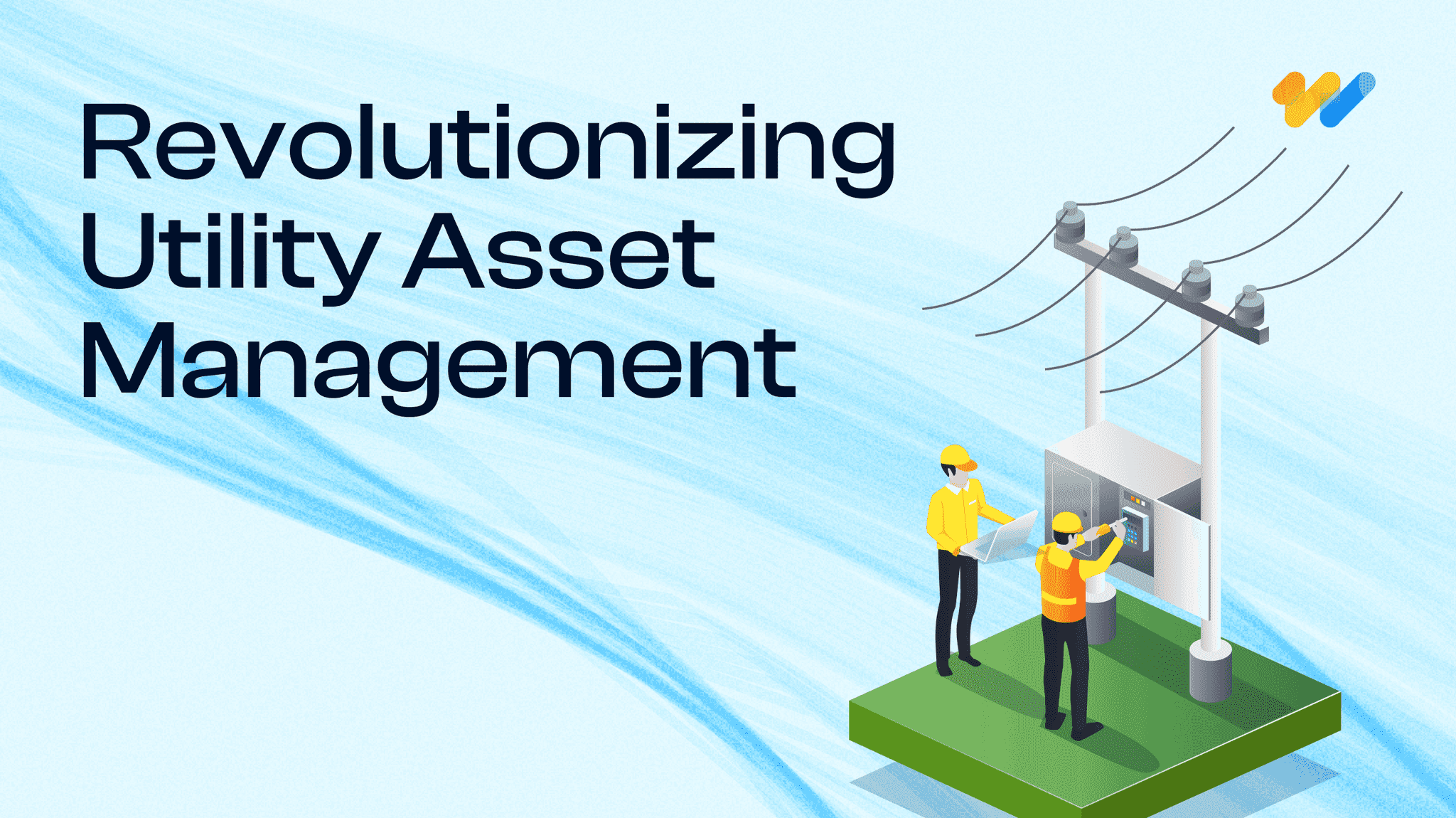
Case Study Spotlight: Revolutionizing Utility Asset Management
At 12th Wonder, we are transforming the way utility companies manage their assets. In one of our recent projects, we partnered with a leading utility
Read more...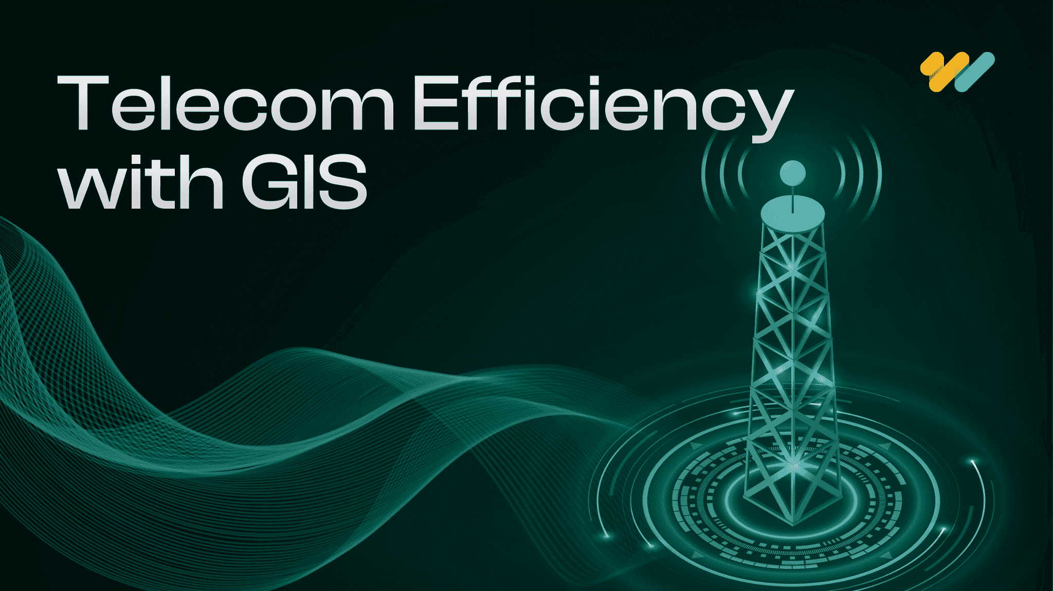
The Cutting-Edge Benefits of GIS For Telecom Networks
Geographic Information Systems (GIS) are making a big impact in the telecommunications world. Think of GIS as a powerful tool that transforms heaps of data into clear, useful maps.
Read more...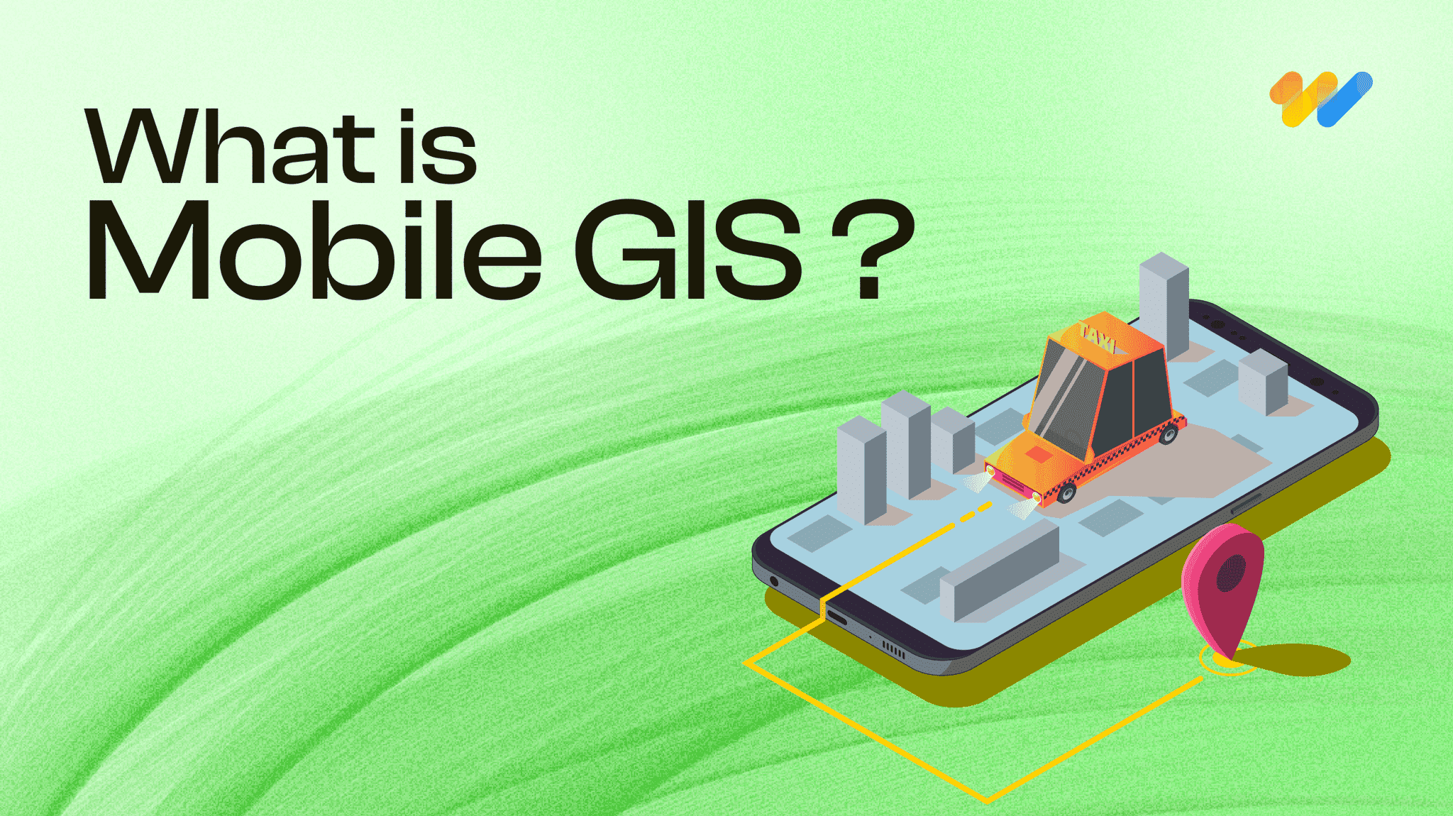
What is Mobile GIS? Here’s what you should know.
The world of Geographic Information Systems (GIS) is changing quickly, and mobile GIS is leading the way. At 12thWonder, we’re using this exciting technology to transform how field data
Read more...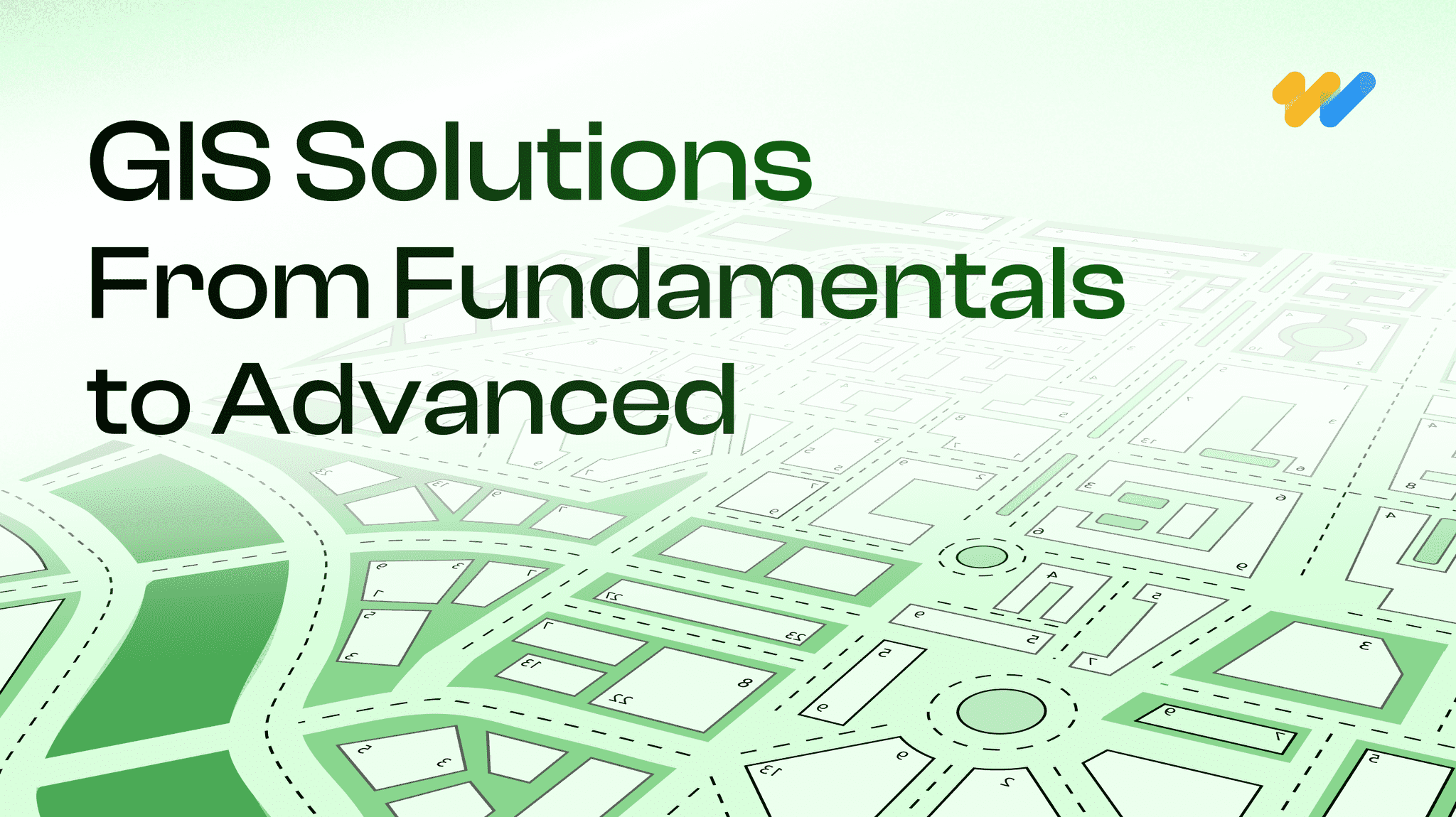
A mix of Introductory and Advanced Geospatial Solutions: 12W's Approach
Geospatial solutions are revolutionizing the way we understand and interact with the space around us. We are at the forefront of this transformative wave, a company that has seamlessly integrated technology
Read more...
The Importance of Data Interoperability in Today’s Geospatial Solutions
Have you ever wondered what makes the digital world tick seamlessly? It’s the magic of data interoperability, especially in the realm of geospatial solutions.
Read more...
Leading Top 10 Best Geospatial Companies
This guide highlights the top 15 GIS (Geographic Information Systems) companies leading the way with their cutting-edge solutions in mapping and spatial analysis.
Read more...
Getting Started in QA Test Automation: Essential Tips for Beginners
Starting on the journey of Quality Assurance (QA) test automation can be both exciting and challenging, especially for companies taking their first steps in this domain.
Read more...
How to Choose the Right QA Services Provider for Your Business: Including a Checklist
In today’s competitive market, software quality assurance (QA) is vital for ensuring robust, reliable, and high-performing software solutions.
Read more...
Solve Your Business Challenges with 12th Wonder's Tailored Digital Transformation Solutions!
Ready to elevate your business with cutting-edge digital solutions? At 12th Wonder we offer a suite of innovative software services. Our goal is to empower your workforce and lead your business towards
Read more...
Integrating QA Test Automation and Manual Testing: A Balanced Approach in Software Development
In software development, you can achieving the highest quality of product by using a strategic blend of both QA test automation and manual testing. While automation is offers speed and repeatability
Read more...
5 Ways QA Automation Can Transform Your Business
Staying ahead of the competition requires including innovative approaches to improve efficiency and quality. This is where QA automation comes into play.
Read more...
Dictionary of GIS Terms
Aerial Photography Mapping: The creation of maps based on the interpretation and analysis of aerial photographs, utilizing differences in vantage points and angles to construct detailed
Read more...
Leading Top 15 Best Software Testing & Quality Assurance Global Companies
This guide highlights the top 15 software testing companies that consistently deliver high value from small, mighty teams. It emphasizes the critical role of QA testing in ensuring software quality
Read more...
Navigating the Pitfalls of Application Development: How We Ensure a Smooth Journey
The process of application development can be both exciting and daunting. From the spark of an idea to the polished end product, there are numerous stages where errors might occur.
Read more...
Maximizing Business Value: The Transformative Power of Automation in Quality Assurance Services
The integration of automation in Quality Assurance (QA) services has transformed industries by enhancing efficiency, accuracy, and cost-effectiveness.
Read more...
Quality Assurance Redefined: Your Path to Success with 12thWonder
Are you ready for help with ensuring the highest quality for your products? Collaborating with 12thWonder for Quality Assurance (QA) services opens the door to a transformative experience that
Read more...
Streamline Your Testing Process with 12th Wonder's Test Automation Services
In this ever-evolving world of software development, where changes happen at the drop of a hat, ensuring quality, speed, and reliability is absolutely essential.
Read more...
7 Ways QA Services Can Reduce Costs in Software Development
In today’s fast-paced world of software development, your company faces a myriad of challenges. Balancing quality and cost-effectiveness is a perpetual struggle.
Read more...