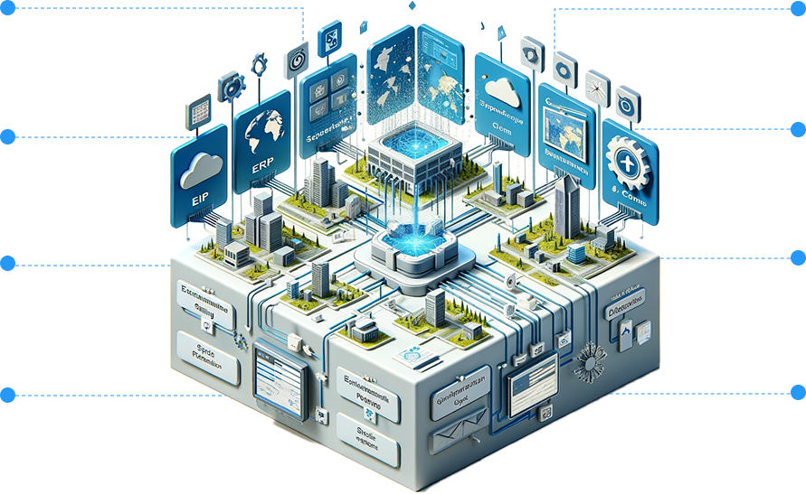
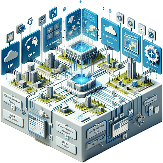
Application Development
Due to easy access and demand of Smartphones, dedicated mobile applications for GIS are in demand in the industry. 12W has expertise in the GIS mobile application team which can develop location-based GIS or GPS applications.
Cartography in Code, From Ideas to Powerful Applications
The 12thWonder technical team is expertized in developing and deploying geospatial applications on all platforms offering domain-specific value. From Web to Mobile and Desktop applications, we built in-house products to ease the data digitization, conflation, migration, integrations. We flawlessly navigate cross-collaboration, diverse data connections, remote web map access, and cost-effective unified map publication. It’s like having a GPS for your business strategies!
Geospatial Application Developments and Integrations
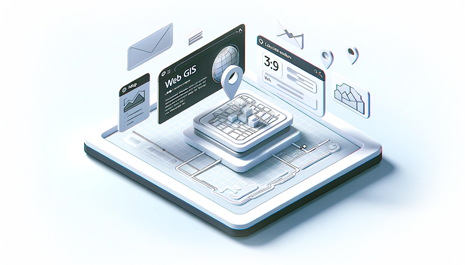
WebGIS
Map Your World with Enterprise Applications
We explore, analyse, and navigate with enterprise –solutions crafted by using all major geospatial softwares such as ESRI, Bentley, AutoDESK, GE, Safe, Hexagon and Opensource. We develop the web applications that are configurable, scalable, maintainable, pluggable and easily adaptable—your cartographers in the digital landscape.
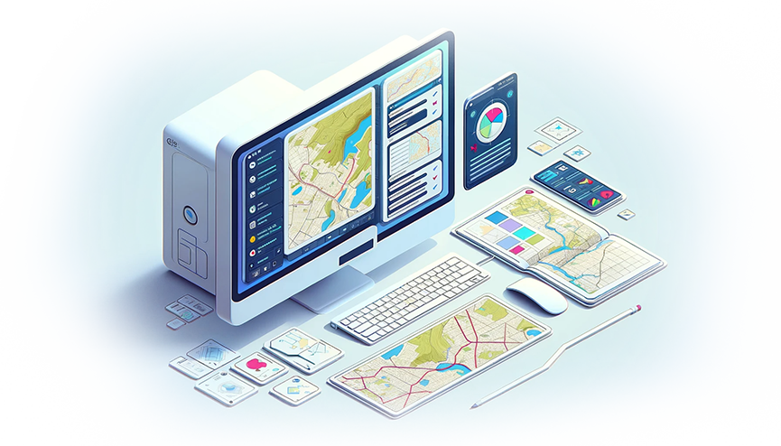
Desktop
Equipping Insights on Your Desktop
We design customized desktop applications using popular software like ArcGIS Desktop, QGIS, and MapInfo, AutoCAD, SmallWorld, Safe FME, Micostation and G\Technology. Our desktop solutions enable users to perform capture maps, data conversions, migrations, data editing, and geoprocessing. We build, enhance tailored desktop apps that allow organizations to work with geographic data in diversified sectors.
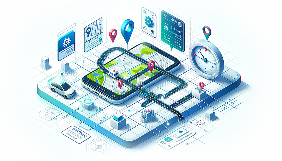
Mobile
Geo-Navigate Anywhere, Anytime
Our mobile app team specializes in crafting applications that facilitate Map Navigation, Data Collection/Reporting, and GIS Analysis on your iOS, Windows Phone, or Android device. We expertly navigate the complex landscape of high-quality app development leveraging diverse GIS applicators like ArcPad and Mobile Viewer.

Opensource
Charting New Horizons
Discover cost-effective solutions that not only meet but exceed your Geospatial requirements. Our expertise spans a spectrum of cutting-edge tools and platforms, including QGIS, GRASS, PostGIS, and Geoserver. Discover economical solutions that not only meet but exceed your Geospatial requirements.
Opensource
Charting New Horizons
Discover cost-effective solutions that not only meet but exceed your Geospatial requirements. Our expertise spans a spectrum of cutting-edge tools and platforms, including QGIS, GRASS, PostGIS, and Geoserver. Discover cost-effective solutions that not only meet but exceed your Geospatial requirements.
Services & Integration
System Integrations
Connections made easy
System integration with GIS (Geographic Information System) enhances overall efficiency, decision-making, and workflow optimization. Our expertise lies in creating harmonious connections between spatial and non-spatial systems, ensuring a unified and streamlined approach to data management and analysis. We empower your organization to leverage spatial insights across various departments with ERP, CRM, or other specialized systems. Unlocks the operational excellence with unified approach.
Harmonious Connections:
GIS seamlessly integrates
with diverse systems.
Efficiency Boost:
Expertise enhances
overall efficiency.
Unified Data Management:
GIS bridges with ERP, CRM,
and specialized systems.
Operational Excellence:
Empowering decisions
across departments.
Spatial Insights:
Leveraging integrated
systems organization-wide.
Tailored Solutions:
Customized integration
for unique needs.
Workflow Optimization:
Creates a unified ecosystem for efficiency.
Transformational Focus:
12W transforms geospatial capabilities for a competitive edge.
Customer Benefits
Seamless Operations
Effortless workflow optimization
Informed Decision Making
Empowered by integrated spatial insights.
Customized Efficient
Tailored solutions for unique needs.
Cross-Departmental Insights
Spatial advantages across all departments.
Operational Excellence
Unlocking peak organizational performance.
Services & Integration
System Integrations
Connections made easy
System integration with GIS (Geographic Information System) enhances overall efficiency, decision-making, and workflow optimization. Our expertise lies in creating harmonious connections between spatial and non-spatial systems, ensuring a unified and streamlined approach to data management and analysis. We empower your organization to leverage spatial insights across various departments with ERP, CRM, or other specialized systems. Unlocks the operational excellence with unified approach.
Harmonious Connections:
GIS seamlessly integrates
with diverse systems.
Efficiency Boost:
Expertise enhances
overall efficiency.
Unified Data Management:
GIS bridges with ERP, CRM,
and specialized systems.
Operational Excellence:
Empowering decisions
across departments.
Spatial Insights:
Leveraging integrated
systems organization-wide.
Tailored Solutions:
Customized integration
for unique needs.
Workflow Optimization:
Creates a unified ecosystem for efficiency.
Transformational Focus:
12W transforms geospatial capabilities for a competitive
edge.
Customer Benefits
Seamless Operations:
Effortless workflow optimization
Informed Decision-Making:
Empowered by integrated spatial insights.
Customized Efficient:
Tailored solutions for unique needs.
Cross-Departmental Insights:
Spatial advantages across all departments.
Operational Excellence:
Unlocking peak organizational performance.
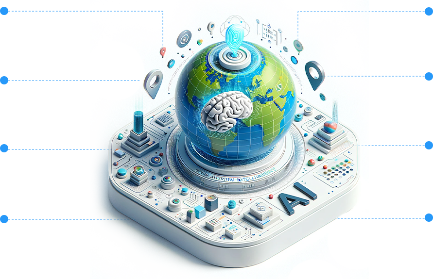
Artificial Intelligence
Pioneers in Intelligent Decision-Making
Leverages Artificial Intelligence (AI) and Machine Learning (ML) models to transform business data with actionable insights and location intelligence. With our expertise in geospatial applications blended with AI/ML, we offer comprehensive solutions from predictive analytics to Prescriptive solutions. Services includes setting up real-time filters, processors and analytical capabilities that can enhance the streaming of the data to extract the most important information.
Predictive Analytics Powerhouse:
Anticipate trends with AI-driven analytics.
Smart BOT Solutions with NLP:
Seamless interaction,
effortless insights.
Geo.AI Framework:
Transformative
AI-geospatial synergy.
Location Intelligence Revolution:
Visualize and optimize
processes.
IoT Integration for Actionable Intelligence:
Connect IoT for end-to-end insights.
Comprehensive Data Engineering:
End-to-end data services.
Customer-Centric Approach:
Tailored AI/ML solutions for
"You."
Precision Insights:
Accurate and actionable.
Customer Benefits
Precision Insights
Accurate, actionable.
Optimized Processes
Enhanced workflows.
Future Predictions
Anticipate trends, NLP-driven insights.
Tailored Solutions
Customer-centric approach with IoT synergy.
Efficient Decision-Making
Faster, smarter choices.
Artificial Intelligence
Pioneers in Intelligent Decision-Making
Leverages Artificial Intelligence (AI) and Machine Learning (ML) models to transform business data with actionable insights and location intelligence. With our expertise in geospatial applications blended with AI/ML, we offer comprehensive solutions from predictive analytics to Prescriptive solutions. Services includes setting up real-time filters, processors and analytical capabilities that can enhance the streaming of the data to extract the most important information.

Predictive Analytics Powerhouse:
Anticipate trends with AI-driven analytics.
Smart BOT Solutions with NLP:
Seamless interaction,
effortless insights.
Geo.AI Framework:
Transformative
AI-geospatial synergy.
Location Intelligence Revolution:
Visualize and optimize
processes.
IoT Integration for Actionable Intelligence:
Connect IoT for end-to-end insights.
Comprehensive Data Engineering:
End-to-end data services.
Customer-Centric Approach:
Tailored AI/ML solutions for
"You."
Precision Insights:
Accurate and actionable.
Customer Benefits
Precision Insights:
Accurate, actionable.
Optimized Processes:
Enhanced workflows.
Future Predictions:
Anticipate trends, NLP-driven insights.
Tailored Solutions:
Customer-centric approach with IoT synergy.
Efficient Decision-Making:
Faster, smarter choices.
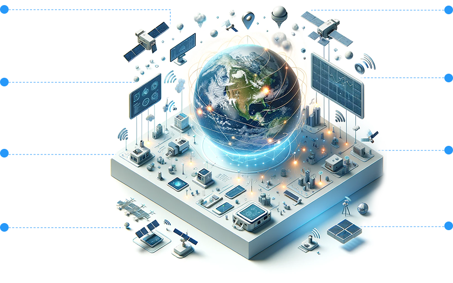
Internet of Things and Business Intelligence
Connecting the physical and digital worlds
We specialize in developing IoT-enabled applications that seamlessly integrate with geospatial, field data, extract valuable insights from sensors, and trigger the actuators. Our commitment lies in leveraging technology to ensure safety, resilience of essential systems and making a positive impact on the critical infrastructure. Our horizontal knowledge helps in providing the solutions with the IOT, Geospatial, Data Analytics and AI/ML together.
Edge Programming:
Saves the computing power for immediate actions.
Heterogeneous Devices:
Seamless connectivity.
Cloud:
Ensures unlimited
computing capability.
Location Tracking:
Visualize and optimize
processes.
IoT Integration for Actionable Intelligence:
Connect IoT for end-to-end insights.
Event-Driven:
Optimizes the powered
consumptions.
Data Analytics:
Dashboards for better
decision making.
Streamlined Workflow:
Enhances operational
efficiency.
Customer Benefits
Real-time insights
Accurate and actionable.
Better Incident Management
Faster, smarter choices.
Optimized Processes
Enhanced workflows.
Future Predictions
Anticipates trends.
End-to-End Intelligence
Connects heterogeneous devices.
Internet of Things and Business Intelligence
Connecting the physical and digital worlds.
We specialize in developing IoT-enabled applications that seamlessly integrate with geospatial, field data, extract valuable insights from sensors, and trigger the actuators. Our commitment lies in leveraging technology to ensure safety, resilience of essential systems and making a positive impact on the critical infrastructure. Our horizontal knowledge helps in providing the solutions with the IOT, Geospatial, Data Analytics and AI/ML together.

Edge Programming:
Saves the computing power for immediate actions.
Heterogeneous Devices:
Seamless connectivity.
Cloud:
Ensures unlimited
computing capability.
Location Tracking:
Visualize and optimize
processes.
IoT Integration for Actionable Intelligence:
Connect IoT for end-to-end insights.
Event-Driven:
Optimizes the powered
consumptions.
Data Analytics:
Dashboards for better
decision making.
Streamlined Workflow:
Enhances operational
efficiency.
Customer Benefits
Real-time insights:
Accurate and actionable.
Better Incident Management:
Faster, smarter choices.
Optimized Processes:
Enhanced workflows.
Future Predictions:
Anticipates trends.
End-to-End Intelligence:
Connects heterogeneous devices.
How do we Migrate
your data?

Data Migrations / Upgradations
With our extensive experience in various geospatial systems, we comprehend, address your migration and upgradation requirements effectively. 12thWonder assists in transforming the spatial/ non-spatial data between systems. Our expertise in extracting data from diversified sources, transforming as per the rule base and loading the data in the target system(s).
Data migration provides excellent and rapid results when following are clear enough.
- Knowing the data: Before migration, source data must undergo a complete audit to anticipate and arrest the unexpected issues that can surface.
- Data Clean-ups: Once the issue identified in your source data, they must be resolved. Requires readily available additional software tools and third-party resources depending on the scale of the work.
- Maintenance and Protection: Data degrades after a while or makes it unreliable. Controls and periodical transformation must be needed to meet the target system’s needs.
- Governance or Reporting: Tracking and reporting migration quality are important because it enables a better understanding of data integrity and measures the data migration quality.

Data Interoperability
We at 12thWonder have experience and expertise in Data integration/interoperability, which combines data from different sources into a single, unified view. Data integration ultimately enables analytics tools to produce effective, actionable business intelligence.
In a typical data integration process, the client sends a request to the master server for data. The master server then intakes the needed data from internal and external sources. The data is extracted from the sources, then consolidated into a single, cohesive data set. This is served back to the client for use.
Challenges that pose the data integrations are as follows:
- Process of how to get to the finish line
- Data from legacy systems
- Data from newer business demands
- Information from external systems

Data Preparation
We are skilled in GIS data processing with proper handling of data cleaning and transforming raw data for the processing and analysis. The team is experienced in reforming the data, making suitable corrections and combining the data sets to enrich data.

Data Quality Checking
With our extensive experience in conducting quality checks and quality assurance, we ensure the accuracy and fitness of the data. Our domain knowledge helps us to identify the cascading impact of the error on the overall networks. Prior knowledge in data integrity issues enables our technical team to identify the business impact and prioritize fixing them, leading to data maturity to the purpose.
Ready to Transform Your Geospatial Ideas into Powerful Application?
Connect with 12thWonder Today!
Quick FAQs
At 12th Wonder, our differentiator lies in our seamless fusion of technology prowess and creative innovation. We don’t just develop applications; we craft geospatial experiences tailored to your unique needs, ensuring precision, adaptability, and a touch of magic.
Security is paramount for us. We implement robust encryption protocols and follow industry best practices to safeguard your geospatial data. Our development process includes thorough security assessments, ensuring the confidentiality and integrity of your valuable information.
Certainly. We have a portfolio of GIS applications across different industries. Feel free to reach out, and we can provide you with case studies and examples showcasing our expertise in GIS application development.
Stay Informed
Subscribe to our newsletter for the latest updates
on Geospatial technology.