One Stop Shop For All
Your Geospatial Needs
Mastering the art of Spatial Intelligence,
we sculpt brilliance into every decision.
Leading GIS, CAD, and
Engineering services provider
with a track record of high quality, cost-effective
and timely services
Hexagon
G/technology
Esri
Bentley
Autodesk
GE
Open
source
Data Migration
12thwonder is your premier destination for Geospatial solutions, specializing in crafting applications for Web, Mobile, and Desktop across diverse industries. Our one-stop solution seamlessly integrates domain-specific value into each deliverable, guided by GPS, maps and a team of skilled Geospatial Developers, Network Experts, and GIS Analysts. Trust us to meet all your Geospatial needs, as we bring your ideas to fruition on time, within budget, leveraging our extensive experience and customized tools.
Geospatial Services


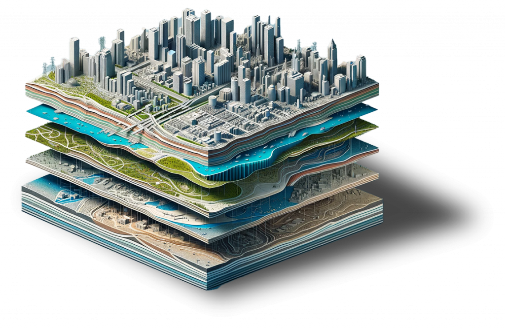
Where Precision Meets Possibility: Geospatial Solutions Redefined Harnessing the power of industry-leading tools like ESRI, Bentley, AutoDesk, GE, Hexagon, Microsoft, Safe, IOT, and cutting-edge AI/ML, we craft bespoke solutions that revolutionize cross-collaboration and data integration. Upgrade your business with our tailored geospatial applications where your vision meets the latest in spatial technology.
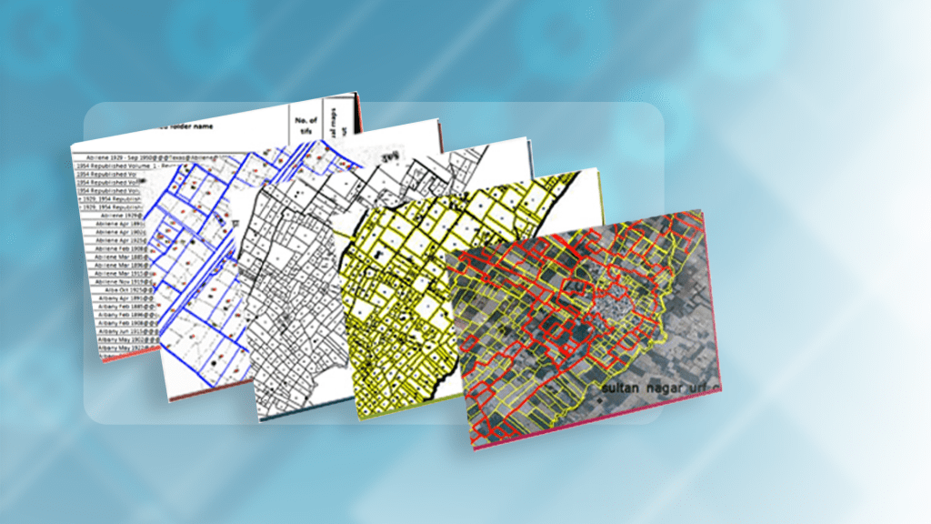

Map the Future with Our Geospatial Services We offer advanced geospatial data services, leveraging GIS, satellite imagery, and GIS Mapping Software to provide insightful mapping, spatial and network analysis. Our solutions aid in planning, management, strategic decision-making, integrating AI, IoT for real-time intelligence to empower our clients’ success.


Geospatial Experts to Help You Connect the Dots. Steer your business forward with our expert geospatial advisory services from concept to execution, we provide tailored techno-commercial proposals, staffing, serving as your reliable geospatial guide. Our consulting expertise spans across diversified domains. We generalize the concept of POC to our customers and meet their expectations by designing time to time deliverables.
What is the process, you asked?
At 12th Wonder, our approach to delivering geospatial
services involves a strategic and comprehensive process:
Discovery:
Collaborating closely with our clients, we delve into their unique needs and project goals, ensuring a crystal-clear understanding of the scope.
Planning:
Our experts craft a tailor-made plan, outlining the use of cutting-edge technologies and methodologies to ensure the most efficient and effective solution.
Development:
Leveraging our technical prowess, we bring geospatial applications and data services to life, customized to meet the specific requirements of each client.

Testing:
Rigorous testing ensues to guarantee the reliability, accuracy, and seamless functionality of our geospatial solutions across various platforms.
Deployment:
The final product seamlessly integrates into our client's existing infrastructure, ensuring a smooth transition and minimal disruption to operations.
Support:
We stand by our clients with ongoing support and maintenance, ensuring the continued optimal performance of our geospatial solutions.
Why Choose 12thwonder
for Geospatial Services?
Expertise
Our technical team masters AI-infused development across renowned geospatial platforms.
Industry Knowledge
With expertise across diverse sectors, including Utilities, Telecom, Defence, and more, we understand the unique challenges of each industry.
Proven Track Record
Our successful projects and satisfied clients attest to our commitment to excellence in geospatial services.
Comprehensive Solutions
From application development to data services and consulting, we offer a holistic approach to geospatial solutions.
Cutting-Edge Technologies
We leverage the latest technologies ESRI, Bentley, Autodesk, GE, Hexagon, Opensource including AI, ML algorithms, and advanced geospatial tools, to deliver innovative and effective solutions.
What is the process, you asked?
At 12th Wonder, our approach to delivering geospatial services involves a strategic and comprehensive process:

Discovery
Collaborating closely with our clients, we delve into their unique needs and project goals, ensuring a crystal-clear understanding of the scope.
Planning
Our experts craft a tailor-made plan, outlining the use of cutting-edge technologies and methodologies to ensure the most efficient and effective solution.
Development
Leveraging our technical prowess, we bring geospatial applications and data services to life, customized to meet the specific requirements of each client.
Testing
Rigorous testing ensues to guarantee the reliability, accuracy, and seamless functionality of our geospatial solutions across various platforms.
Deployment
The final product seamlessly integrates into our client's existing infrastructure, ensuring a smooth transition and minimal disruption to operations.
Support
We stand by our clients with ongoing support and maintenance, ensuring the continued optimal performance of our geospatial solutions.
Why Choose 12th Wonder for Geospatial Services?
Expertise
Our technical team masters AI-infused development across renowned geospatial platforms.
Comprehensive Solutions
From application development to data services and consulting, we offer a holistic approach to geospatial solutions.
Industry Knowledge
With expertise across diverse sectors, including Utilities, Telecom, Defence, and more, we understand the unique challenges of each industry.
Cutting-Edge Technologies
We leverage the latest technologies, including AI, ML algorithms, and advanced geospatial tools, to deliver innovative and effective solutions.
Proven Track Record
Our successful projects and satisfied clients attest to our commitment to excellence in geospatial services.


Industries We Cover
12thW Simplify the utility networks (Electrical, Gas, Water). Our goal is to ensure consumers experience seamless services, effective decision-making, advanced capabilities in visualization, data analysis and integrations. Leveraging recent technologies, we seamlessly build a unified platform.
Our Telecom Geospatial solution plays a vital role in efficiently planning, managing, and optimizing telecommunication networks. We specialize in developing applications (Web, Mobile, Desktop) that standardize services including fibre optic works spans from planning, management, and quality assurance. Our in-house tools for data enhancement and network digitization are cost-effective for your telecom services.
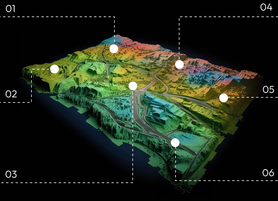
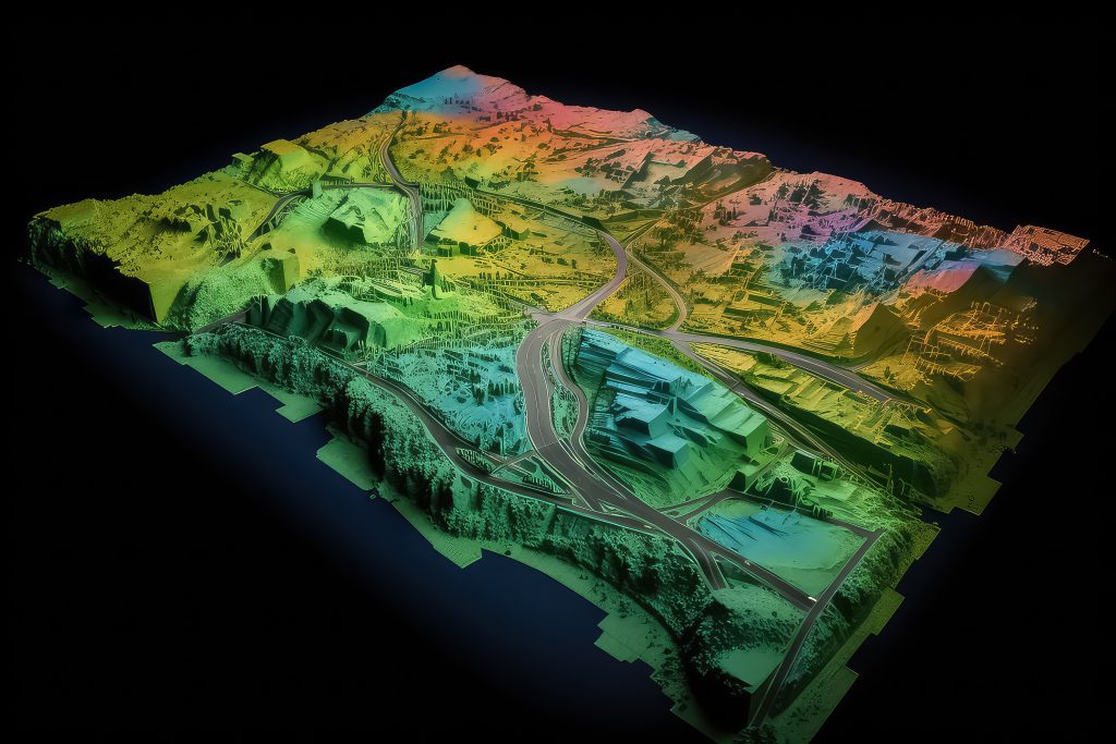
Our Urban Geospatial solutions leverage AI to seamlessly geotag building footprints and capture key features, integrating geocoding and reverse geocoding for unified mapping. We process high-resolution satellite images to extract features, determine land use and cover, and create 3D models such as DEM and DTM. Our Geospatial applications, available across web, mobile, and desktop platforms, serve various sectors including property tax, land acquisition, consumer index, Smart cities, emergency management, and public health.
At 12thW, our Geospatial solutions encompass reconnaissance surveys, pre-field layers, and the proficient conversion of exploration datasets. Our applications streamline the collection of field samples, capturing geocoded photographs and assay values, ensuring easy access to drilling sites. We've established business rules for migrating exploration datasets (Vector and Raster), categorizing them into Geology, Geochemistry, Drilling, Geophysics, and Geographical features. Moreover, our distinctive applications support tenement management, eases land acquisition for mining operations, and fleet management processes.
We work with trusted partners


Let Us Join Your
Geospatial Journey?
12thwonder is the destination where spatial intelligence meets innovation. Whether you’re in Utilities, Telecom, Defence, or any sector, our comprehensive geospatial solutions are tailored to sculpt brilliance into every decision. Contact us today for a consultation and let’s navigate your success together!

Frequently Asked Questions
Indeed, our technical team possesses the expertise to customize solutions for different platforms across various industry segments. This endeavour not only has a significant impact on cost-effectiveness but also ensures the delivery of a ready-to-use medium-sized product for end-users.
Geospatial solutions can enhance decision-making processes, optimize resource allocation, improve planning, and provide valuable insights into geographical trends. They are valuable across various industries, including agriculture, urban planning, logistics, and environmental management.
Stay Informed
Subscribe to our newsletter for the latest updates
on Geospatial technology.


