
Leading Top 10 Best Geospatial Companies
This guide highlights the top 10 GIS (Geographic Information Systems) companies leading the way with their cutting-edge solutions in mapping and spatial analysis. It points out how crucial GIS technology has become for making informed decisions in various sectors, given that understanding location data is key in today’s world. With the geospatial market set to grow from USD 8.1 billion in 2020 to an estimated USD 14.5 billion by 2030, finding the right GIS partner is more important than ever.
This list is designed to help organizations pick the best GIS company to work with. It includes companies known for their deep knowledge, wide range of geospatial services, and solid reputation in the field. These companies stand out for using the latest in GIS technology to solve real problems, helping businesses stay on top of the game in a world where data rules.
1. 12th Wonder
Founded: 2012
Headquarters: California, United States. Expanded presence in Ivory Coast, Japan, and India.
12thWonder has a global tech team of 100 employees with a diverse and expanding workforce.
Key Services:
- GIS Application Development (Web, Mobile, Desktop) \
- Remote Sensing & GIS, Photogrammetry, Drone, and LiDAR Services
- Consulting Services in Geospatial Solutions
12th Wonder specializes in geospatial solutions, blending IT services with tailored GIS applications to meet the needs of various industries including utilities, telecom, mining, and urban planning. Their offerings range from developing GIS applications across different platforms to providing data services using advanced techniques like remote sensing and LiDAR. The company also offers consulting services to navigate complex geospatial challenges. Leveraging a team with deep domain expertise and a commitment to innovation, 12th Wonder aims to extend asset lifespan, standardize revenue, and efficiently meet people’s needs across the globe. Their approach to geospatial solutions emphasizes user centric design, agile development methodologies, and a collaborative relationship with clients to ensure tailored, industry specific outcomes.
2. FARO Technologies
Founded: 1981
Headquarters: Lake Mary, Florida, USA
Employee Count: 1,000+
Key Services:
- 3D measurement, imaging, and realization technology
- Computer aided measurement and imaging devices
- Software for 3D modeling and analysis
FARO Technologies specializes in the design, development, and marketing of 3D measurement and imaging solutions. Serving a wide range of industries, including manufacturing, construction, engineering, and public safety, FARO’s technology facilitates the measurement and analysis of complex spaces and geometries.
3. Topcon Positioning Systems
Founded: 1932
Headquarters: Livermore, California, USA
Key Services:
- Precision positioning technology
- Software solutions for surveying and construction
- Optical equipment for ophthalmology and medical diagnostics
Topcon Positioning Systems is a leading provider of precision equipment for the surveying, construction, and agriculture industries. They offer innovative solutions that combine GPS technology, optical, laser, and data collection systems, enhancing productivity and efficiency.
4. Precisely
Founded: 1920 (as Pitney Bowes Inc.)
Headquarters: Stamford, Connecticut, USA
Key Services:
- Data integrity software
- Location intelligence solutions
- Data quality and enrichment services
Now operating under the brand name Precisely, the company provides critical data integrity solutions, including location intelligence, data quality, and enrichment, to help clients make better decisions by understanding the relationships between data and geography.
5. DigitalGlobe (part of Maxar Technologies)
Founded: 1993
Headquarters: Westminster, Colorado, USA
Employee Count: Part of Maxar Technologies
Key Services:
- Earth observation and geospatial data
- High-resolution satellite imagery
- Advanced geospatial analytics solutions
As a leader in Earth observation and geospatial data, DigitalGlobe provides comprehensive imaging and analysis capabilities that enable clients across the globe to make critical decisions.
6. Geospatial Corporation
Founded: 1995
Headquarters: Pittsburgh, Pennsylvania, USA
Key Services:
- Geospatial mapping and engineering services
- Underground infrastructure management
- 3D mapping solutions
Geospatial Corporation utilizes integrated technologies to provide comprehensive mapping solutions for underground, surface, and sub-surface infrastructure. Their services assist in managing and mapping critical infrastructure with accuracy and efficiency, catering to industries such as oil and gas, municipal, and telecommunications.
7. Fugro
Founded: 1962
Headquarters: Leidschendam, Netherlands
Employee Count: 10,000+
Key Services:
- Earth data and related geo-intelligence
- Offshore and onshore geotechnical services
- Asset integrity solutions for large constructions, infrastructure, and natural resources
Fugro is the world’s leading Geo-data specialist, collecting and analyzing comprehensive information about the Earth and the structures built upon it. Offering services designed to help clients in the global energy and infrastructure industries understand their operational and environmental challenges, Fugro’s geo intelligence and asset integrity solutions support the entire lifecycle of projects.
8. GeoSLAM
Founded: 2012
Headquarters: Nottingham, United Kingdom
Key Services:
- 3D geospatial technology solutions
- Handheld SLAM (Simultaneous Localization and Mapping) mapping systems
- Software for 3D data processing and analysis
GeoSLAM is a global leader in “go-anywhere” 3D mobile mapping technology. Their handheld SLAM systems and software solutions are used for surveying, 3D modeling, and rapid mapping, enabling clients to capture and process complex indoor and outdoor spaces without the need for GPS.
9. SenseFly (part of AgEagle)
Founded: 2009
Headquarters: Cheseaux sur Lausanne, Switzerland
Key Services:
- Professional fixed wing drones
- Aerial imaging and data collection
- Drone flight planning and data processing software
As part of AgEagle, SenseFly is a leading provider of professional mapping drones. Known for their ease of use, efficiency, and safety, SenseFly’s solutions cater to applications in agriculture, engineering, surveying, and humanitarian aid, enabling precise aerial data collection and analysis.
10. CARTO
Founded: 2012
Headquarters: New York, New York, USA
Employee Count: 200+
Key Services:
- Cloud-based GIS and web mapping tools
- Location intelligence software
- Data visualization and analysis
CARTO is a leading platform for location intelligence, empowering users with powerful GIS and web mapping tools to turn location data into business outcomes. Their cloud based platform enables analysts, business leaders, and developers to leverage spatial data and analysis for making strategic decisions across various sectors such as telecommunications, real estate, and logistics.
Recent Blogs

Real-Time Visibility in Logistics: Why Your Architecture Is Costing You More Than You Think
Here is a number worth pausing on: 45% of logistics organizations have real-time visibility into fewer than half their shipments.
Read more...
Why Field Operations Break When You Can’t See Them on a Map
Field operations rarely fail because teams are not working hard enough. They fail when leaders lose visibility into what is happening, where it is happening, and why.
Read more...
What Your GIS Data Actually Needs for GeoAI
We examined why many GeoAI projects fail before they even get started in the previous blog. Let's now discuss what makes GeoAI function in the real world.
Read more...
Why GeoAI Projects Fail Before They Even Start
GeoAI is currently omnipresent. In order to anticipate failures, automate decision-making, and make sense of intricate networks, utilities,
Read more...
GIS Drone Mapping: How Drones Are Powering the Next Era of Real-Time Geospatial Intelligence
GIS drone mapping is rapidly transforming how organizations collect, analyze, and act on geospatial data.
Read more...
Digital Twins & 3D GIS Modeling: Global Benefits, Challenges & Solutions
Digital twins and 3D GIS modeling are redefining how organizations plan, operate, and maintain physical asset
Read more...
GeoAI Explained: How Geospatial AI is Solving Real-World Challenges in the U.S.
GeoAI: short for Geospatial Artificial Intelligence is the convergence of geospatial data (location, maps, remote sensing, GPS, GIS systems)
Read more...
The ROI of Implementing a GIS Solution: A Business Case Study Approach
Relying on fragmented data and outdated mapping tools is no longer sustainable for organizations navigating complex,
Read more...
Building a Future-Ready Telecom Data Migration Framework: Tools, Automation, and Real-World Lessons
Telecom data migration is not just about moving data it's about ensuring scalability, security,
Read more...
The Telecom Data Migration Imperative: Challenges, Best Practices & Future-Ready Strategies
As telecom networks rapidly evolve from 4G to 5G and legacy OSS/BSS stacks shift
Read more...
Top 7 Emerging AI Trends to Watch in 2025
Pushing deeper into 2025, artificial intelligence continues to sprint from being a promising tool to
Read more...
Geospatial Revolution: Top 10 Industries Benefiting from GIS
Geographic Information Systems (GIS) have emerged as a powerful tool for businesses and organizations across various sectors.
Read more...
Empowering Smarter Cities: The Role of Geospatial Digital Twins in Urban Planning
Geographic Information Systems (GIS) have emerged as a powerful tool for businesses and organizations across various sectors.
Read more...
Enhancing Customer Experience with Location-Based Services Powered by GIS
Customer experience has emerged as a key differentiator for organizations across industries be it in utilities, retail or public services.
Read more...
Transforming Field Operations with Mobile GIS
Be it in utilities, transportation, or environmental management, field operations are complex and challenging.
Read more...
Emerging trends in GIS: Navigating the geospatial landscape
GIS or Geographical information systems has helped turn maps into advanced tools for problem-solving.
Read more...
How GIS is transforming predictive maintenance in the utility sector
The utility sector is the backbone of the modern economy providing vital services like electricity, water, and gas to people and businesses.
Read more...
Case study spotlight: Streamlining HFC network management with GIS for a US-based Telecom Service Provider
GIS (Geographical Information System) has been crucial to the growth of the telecom sector, providing invaluable geospatial data that benefits even
Read more...
GIS In Action: Real-World Examples of How It's Used
Geographic Information Systems (GIS) have become indispensable tools across a multitude of industries, revolutionizing the way we understand, analyze, and interact with spatial data.
Read more...
Case Study Spotlight: Revolutionizing Utility Asset Management
At 12th Wonder, we are transforming the way utility companies manage their assets. In one of our recent projects, we partnered with a leading utility
Read more...
The Cutting-Edge Benefits of GIS For Telecom Networks
Geographic Information Systems (GIS) are making a big impact in the telecommunications world. Think of GIS as a powerful tool that transforms heaps of data into clear, useful maps.
Read more...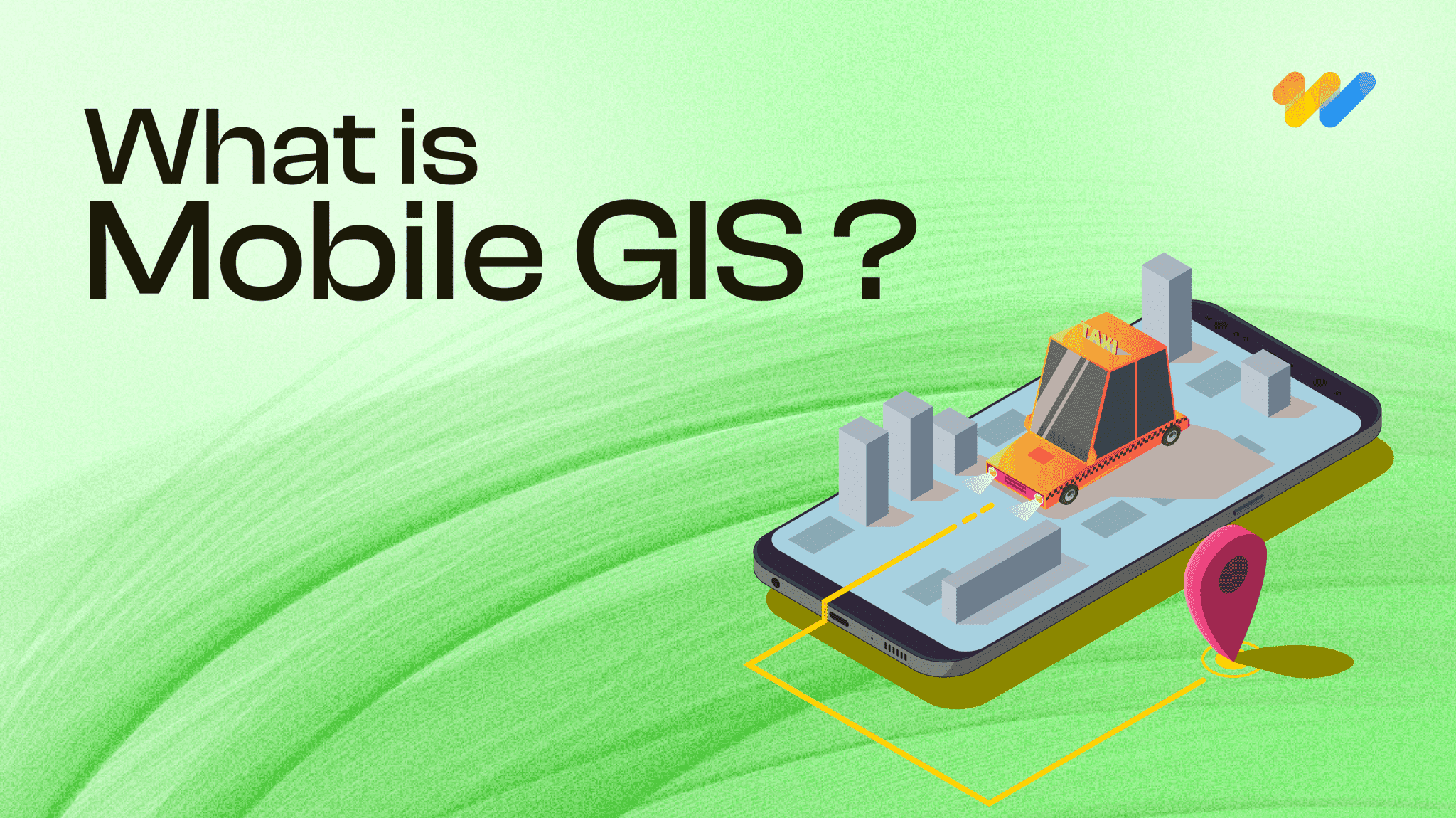
What is Mobile GIS? Here’s what you should know.
The world of Geographic Information Systems (GIS) is changing quickly, and mobile GIS is leading the way. At 12thWonder, we’re using this exciting technology to transform how field data
Read more...
A mix of Introductory and Advanced Geospatial Solutions: 12W's Approach
Geospatial solutions are revolutionizing the way we understand and interact with the space around us. We are at the forefront of this transformative wave, a company that has seamlessly integrated technology
Read more...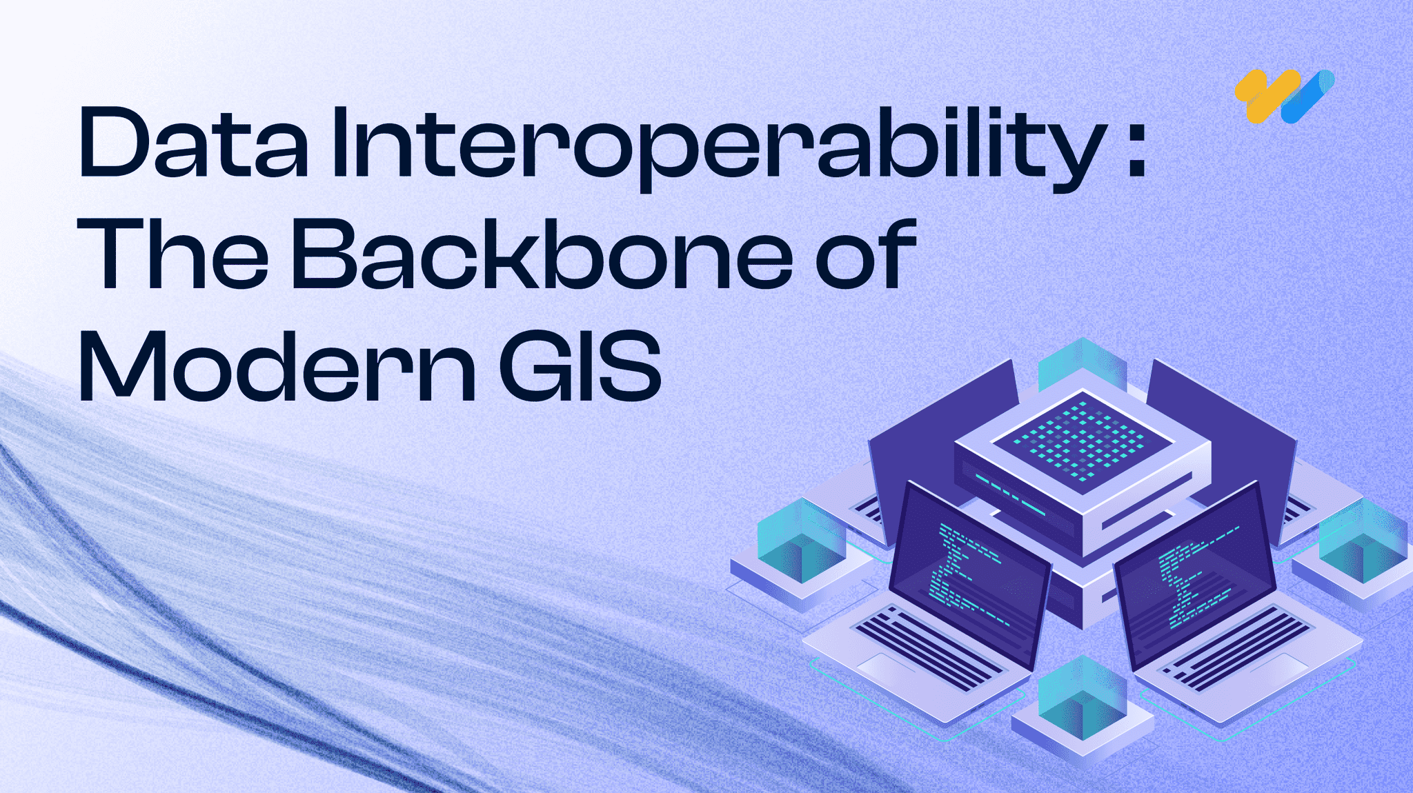
The Importance of Data Interoperability in Today’s Geospatial Solutions
Have you ever wondered what makes the digital world tick seamlessly? It’s the magic of data interoperability, especially in the realm of geospatial solutions.
Read more...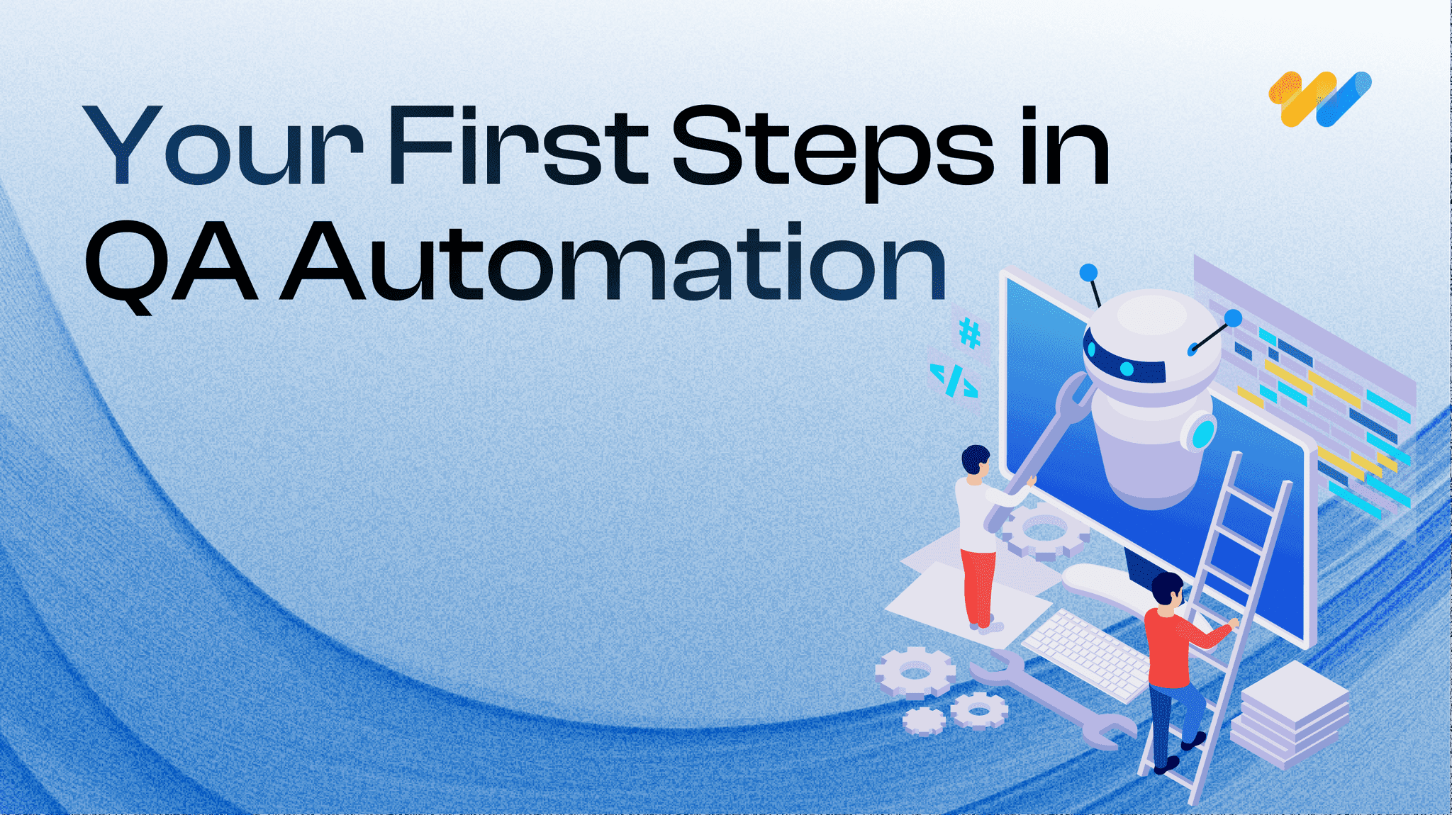
Getting Started in QA Test Automation: Essential Tips for Beginners
Starting on the journey of Quality Assurance (QA) test automation can be both exciting and challenging, especially for companies taking their first steps in this domain.
Read more...
How to Choose the Right QA Services Provider for Your Business: Including a Checklist
In today’s competitive market, software quality assurance (QA) is vital for ensuring robust, reliable, and high-performing software solutions.
Read more...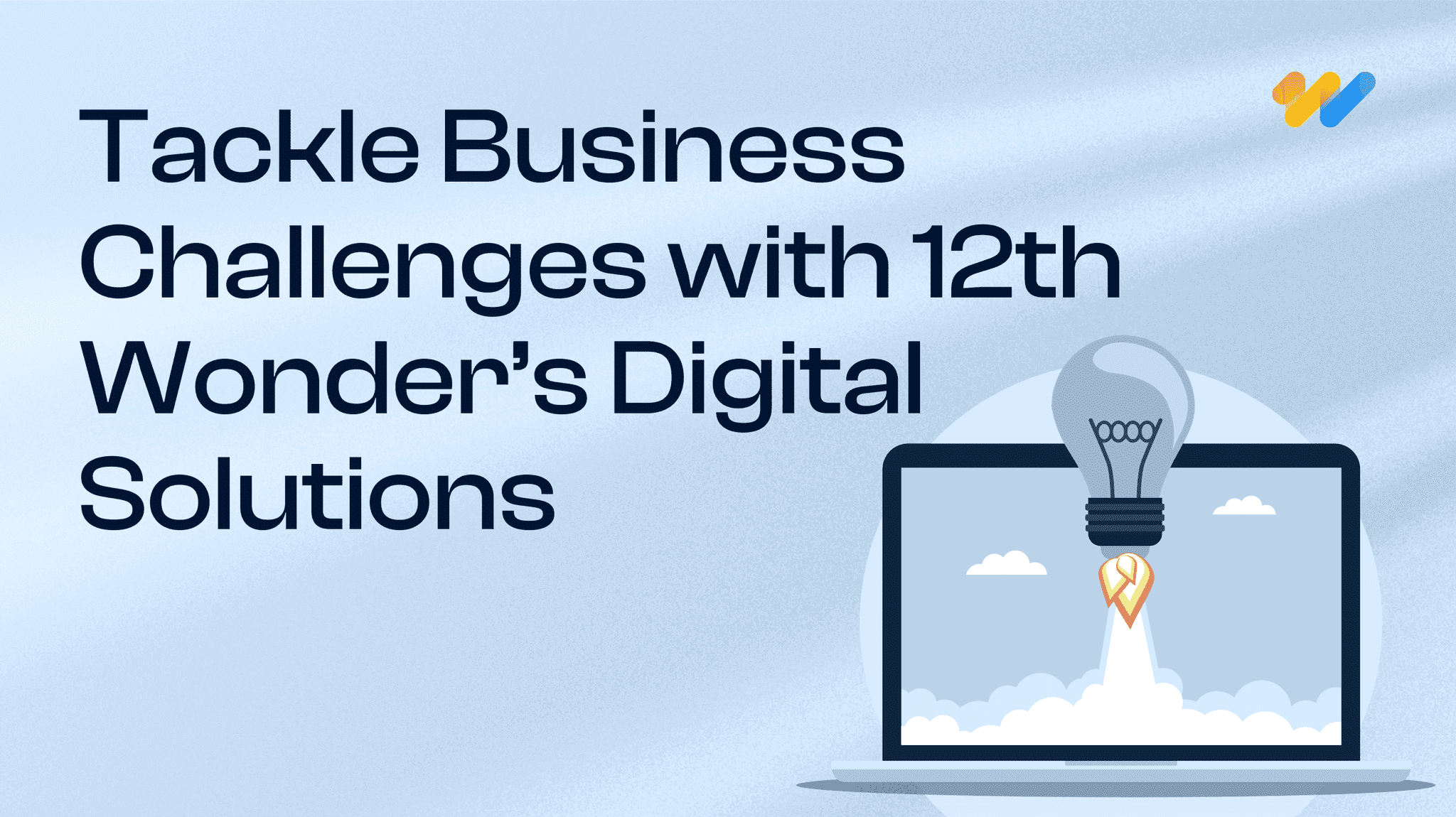
Solve Your Business Challenges with 12th Wonder's Tailored Digital Transformation Solutions!
Ready to elevate your business with cutting-edge digital solutions? At 12th Wonder we offer a suite of innovative software services. Our goal is to empower your workforce and lead your business towards
Read more...
Integrating QA Test Automation and Manual Testing: A Balanced Approach in Software Development
In software development, you can achieving the highest quality of product by using a strategic blend of both QA test automation and manual testing. While automation is offers speed and repeatability
Read more...
5 Ways QA Automation Can Transform Your Business
Staying ahead of the competition requires including innovative approaches to improve efficiency and quality. This is where QA automation comes into play.
Read more...
Dictionary of GIS Terms
Aerial Photography Mapping: The creation of maps based on the interpretation and analysis of aerial photographs, utilizing differences in vantage points and angles to construct detailed
Read more...
Leading Top 15 Best Software Testing & Quality Assurance Global Companies
This guide highlights the top 15 software testing companies that consistently deliver high value from small, mighty teams. It emphasizes the critical role of QA testing in ensuring software quality
Read more...
Navigating the Pitfalls of Application Development: How We Ensure a Smooth Journey
The process of application development can be both exciting and daunting. From the spark of an idea to the polished end product, there are numerous stages where errors might occur.
Read more...
Maximizing Business Value: The Transformative Power of Automation in Quality Assurance Services
The integration of automation in Quality Assurance (QA) services has transformed industries by enhancing efficiency, accuracy, and cost-effectiveness.
Read more...
Quality Assurance Redefined: Your Path to Success with 12thWonder
Are you ready for help with ensuring the highest quality for your products? Collaborating with 12thWonder for Quality Assurance (QA) services opens the door to a transformative experience that
Read more...
Streamline Your Testing Process with 12th Wonder's Test Automation Services
In this ever-evolving world of software development, where changes happen at the drop of a hat, ensuring quality, speed, and reliability is absolutely essential.
Read more...
7 Ways QA Services Can Reduce Costs in Software Development
In today’s fast-paced world of software development, your company faces a myriad of challenges. Balancing quality and cost-effectiveness is a perpetual struggle.
Read more...