- May 09, 2024
What is Mobile GIS? Here’s what you should know.

The world of Geographic Information Systems (GIS) is changing quickly, and mobile GIS is leading the way. At 12thWonder, we’re using this exciting technology to transform how field data is collected, creating custom solutions that fit the fast-changing needs of industries today. Witness how advancements in mobile GIS are making a big difference, the advantages they bring to different fields, and how 12thWonder is at the forefront of this tech revolution. Check how we travelled from Introductory to Advanced GIS:
Understanding Mobile GIS
What is Mobile GIS?
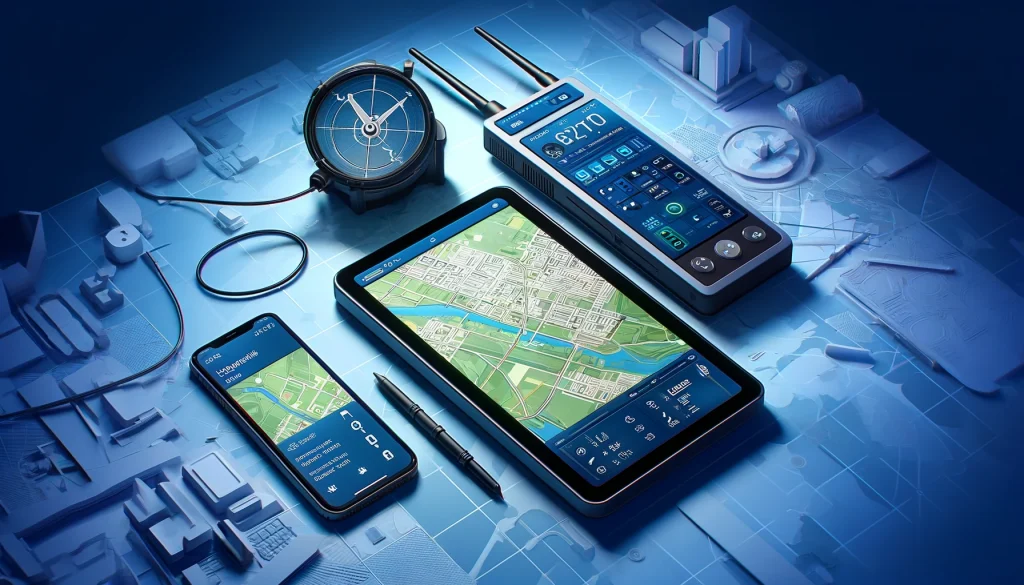
Mobile GIS combines the comprehensive capabilities of traditional GIS software with the portability of modern mobile devices like smartphones and tablets. This powerful combination enables on-the-spot data collection and analysis, enhancing the precision and efficiency of geographic data operations.
Key Components of Mobile GIS
- Mobile Devices: Smartphones and tablets equipped with GPS functions.
- GIS Software: Applications specifically designed for mobile use.
- Communication Technologies: Technologies like cellular and satellite networks that enable data transmission.
Advancements in Mobile GIS by 12thWonder
- Innovative Application Development:
We craft state-of-the-art mobile GIS applications that transform complex data collection into a simplified, accurate process. These applications are crucial in reducing manual labor while boosting data precision. - Integration with Existing Systems:
Our mobile GIS tools are engineered to integrate flawlessly with existing GIS infrastructures and business systems like ERP and CRM. This ensures that data gathered in the field is instantly aligned with your central databases, reinforcing the integrity and availability of your data. - Benefits of Mobile GIS in Today’s Industries
Mobile GIS technology is rapidly reshaping industries by enhancing the way field data is collected and utilized. This powerful tool brings several advantages that are crucial in today’s fast-moving sectors. According to a recent study, industries implementing mobile GIS have seen a 20% increase in data accuracy and a 25% reduction in the time required for data processing. - Improving Data Precision
Mobile GIS equips field workers with advanced tools to gather precise data directly from the source. This high level of accuracy is particularly vital in sectors such as utilities, where exact data is crucial for maintaining and improving infrastructure systems. - Access to Data in Real-Time
One of the standout benefits of mobile GIS is the capability to access and analyze geographic data instantly. This immediate data access is invaluable during critical situations where quick decisions are necessary, allowing teams to respond effectively and without delay. - Boosting Worker Productivity
By automating the processes of data collection and integration, mobile GIS cuts down significantly on the time traditionally spent on manual data entry and analysis. In fact, reports indicate that teams using mobile GIS can see productivity improvements of up to 30%, as they spend less time on data handling and more on actionable tasks.
These advancements in mobile GIS not only save time and increase accuracy but also provide industries with the tools to manage their operations more effectively in today’s digital age.
12thWonder’s Role in Transforming Industries with Mobile GIS
- Utility Sector
We deploy mobile GIS to improve network planning and asset management, helping utility companies streamline operations, which reduces downtime and cuts costs. - Environmental Management
Our mobile GIS applications support environmental monitoring, enabling efficient data collection on environmental conditions, wildlife tracking, and pollution assessment. - Urban Planning
12thWonder’s mobile GIS tools are instrumental for municipalities in urban planning efforts, aiding in asset mapping, zoning, and land-use planning to foster smart city developments.
Case Studies: 12thWonder’s Success with Mobile GIS
- Utility Management: A leading utility provider implemented our mobile GIS solutions, achieving a 30% cut in operational costs and enhancing service efficiency.
- Environmental Monitoring: In a major environmental project, our mobile GIS tools provided real-time pollution monitoring across various locations, facilitating rapid decision-making and adherence to regulations.
The Future of Mobile GIS at 12thWonder
Looking forward, 12thWonder is committed to pushing the boundaries of Mobile GIS technology. Our ongoing R&D is focused on integrating AI and machine learning to boost predictive analytics and feature automation in our Mobile GIS solutions.
Why Choose 12thWonder for Mobile GIS?
12thWonder stands at the cutting edge of mobile GIS technology, delivering solutions that not only meet but surpass the requirements of contemporary industries. Our dedication to innovation, backed by deep sector expertise, positions us as your perfect partner for leveraging mobile GIS technology.
We invite you to join us in this geospatial revolution. With 12thWonder, every coordinate uncovers a story of innovation, precision, and endless possibilities.
Know more about why we are one among the top 10 in GIS: https://12thwonder.com/company/blog/leading-top-10-best-geospatial-companies/
Visit our website and contact us today: https://12thwonder.com/contact/


