- Aug 05, 2024
Enhancing Customer Experience with Location-Based Services Powered by GIS

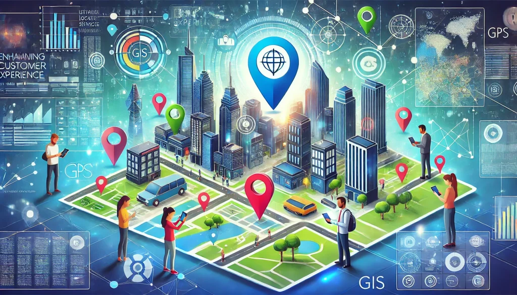
Customer experience has emerged as a key differentiator for organizations across industries be it in utilities, retail or public services. Consumers expect seamless, personalized, and convenient interactions, and location-based services (LBS) have become essential tools to deliver on these expectations. Geographic Information Systems (GIS) provide the underlying technology that empowers organizations to harness the power of location data and create exceptional customer experiences. So, let’s explore the role GIS technology and location data in elevating customer experience.
Understanding the customer through location data
Location data is a treasure trove of insights. It reveals where customers are, where they go, what they do and what they are interested in. When combined with other relevant data such as demographics, purchasing behavior, and social media activity, it can be used to understand customer behavior, preferences, and needs in unprecedented detail. GIS, as a spatial analysis tool, helps businesses analyze and visualize this data to extract meaningful information through demographic analysis and make informed decisions. Let’s explore how GIS helps in understanding your customers better.
- Customer segmentation: By overlaying demographic, psychographic, and behavioral data with geographic information, businesses can create highly granular customer segments. GIS enables the identification of high-value customer segments, allowing for tailored marketing campaigns and personalized offers.
- Behavior analysis: Tracking customer movement patterns, such as store visits, online searches, and social media interactions, helps understand customer preferences and buying habits. Understanding customer movement patterns helps optimize store layouts, product placement, and staffing levels.
- Preference mapping: By correlating customer location with purchase history, businesses can identify product preferences based on geographic regions. A sportswear brand can analyze sales data to determine which products are popular in different regions.
- Customer journey mapping: Customer journey mapping can visualize customer interactions with a business across different locations. GIS can be used to visualize and optimize the customer journey, from initial awareness to post-purchase engagement by analyzing customer location data and identifying key touchpoints. You can also pinpoint areas where customers face challenges or friction in their interactions with the brand. helps to enhance omnichannel experiences by integrating online and offline touchpoints through GIS-based insights.
Delivering personalized customer experiences with location-data
Location data can be a game-changer for creating personalized marketing campaigns and customer experiences. Spatial analytics can uncover hidden patterns and relationships within geographic data. For instance, analyzing customer feedback with location data can uncover regional trends and preferences. GIS technology helps organizations leverage location data to deliver targeted, location-based services with higher degree of personalization with,
- Geo-fencing and Geotargeting: Geo-fencing and geo-targeting allow businesses to deliver targeted promotions and messages to customers based on their location. For instance, a coffee shop can send push notifications to customers when they are nearby, offering discounts or exclusive promotions.
- Personalized recommendations: Location-based recommendations can suggest products or services based on a customer’s current location or past behavior. A clothing retailer can suggest items based on the customer’s current location, weather conditions, and past purchases.
- Location-based loyalty programs: Rewarding customers for visiting specific stores or engaging in location-based activities. This can encourage repeat visits and increase customer loyalty.
Optimizing customer service
Location based data is key to providing stellar customer service. Field service management has become more efficient with mobile GIS and web GIS. GIS technology also improves service delivery by optimizing routes, assigning tasks based on location, and providing real-time updates to customers. This allows field crew to resolve customer issues faster and enhance satisfaction.
Location-based customer support can offer assistance based on a customer’s location, such as finding the nearest store or service center. Moreover, with predictive analytics, businesses can anticipate customer needs based on location data and proactively address potential issues.
Site selection and expansion with location data
GIS helps businesses evaluate potential site locations by analyzing factors such as population density, demographics, competition, and accessibility. With GIS, site selection decisions can be data-driven, reducing the risk of failure and optimizing resource allocation. This might include finding ways to lay a new pipeline network with minimum disruption to the public or finding a store location in an area where customer density is high. Some of the methods for which location analysis is crucial for business expansion include,
- Competitive analysis: Identify gaps in the market and areas with high potential for new store locations.
- Trade area analysis: Trade area analysis identifies the geographic area from which a business is likely to draw customers. It helps to determine the optimal size and shape of a store’s trade area based on customer demographics, accessibility and spending patterns.
- Location profitability analysis: Evaluate the potential profitability of different locations based on factors such as foot traffic, sales density, and operating costs.
Enhancing customer engagement
GIS can be used to enhance engagement, map customer feedback and identify areas with high levels of satisfaction or dissatisfaction. Location based data can also be used with advanced technology and digital platforms to create unique customer experiences that drive engagement such as,
- Interactive maps: Providing customers with interactive maps to locate stores or help with indoor navigation. This can enhance the customer experience and drive foot traffic.
- Augmented Reality (AR) experiences: Combining location data with AR to create immersive experiences, such as virtual try-ons or product demonstrations when shopping.
- Social media integration: Leveraging location-based social media features to engage with customers and gather insights with social listening.
Optimizing logistics and delivery
GIS enables real-time tracking of delivery vehicles, enhancing visibility and customer satisfaction. Location data and spatial analytics are key to
- Distribution center location: Determine the optimal location for distribution centers to minimize transportation costs and improve delivery times.
- Route optimization: Optimize delivery routes based on real-time traffic conditions and other factors, reducing costs and ensuring timely deliveries.
- Inventory management: Monitor and balance inventory levels across different locations based on demand patterns and supply chain constraints.
Enhancing crisis management and emergency response
In times of a crisis, it is important to make quick decisions. Location data is crucial for understanding the impact and prioritizing activities in a crisis.
GIS technology allows organizations to get accurate real-time location-based insights for decision making. This includes activities like,
- Risk assessment: Identify potential risks based on location factors such as natural disasters, crime rates, and economic conditions.
- Emergency response: Disaster management requires applications that provide the shortest navigation routes using geocoded photographs to reach incidents quickly. For example, state governments can provide applications to the public to get real-time data, weather, and other important information in disaster-prone areas.
Implementing GIS technology for enhanced customer experience
Location-based services (LBS), powered by Geographic Information Systems (GIS), offer businesses a powerful tool to understand and engage with customers on a deeper level.
The integration of GIS with emerging technologies such as artificial intelligence, augmented reality, and the Internet of Things will help create even more sophisticated applications to further enhance customer experience. By embracing GIS and leveraging its power, businesses can gain a competitive advantage, improve customer satisfaction, and drive long-term growth.
While GIS offers these significant benefits, data quality, integration and privacy are concerns to be addressed when implementing GIS-based systems. The need for skilled personnel is also a key challenge in effectively using GIS technology. That’s why you need experienced GIS service providers like 12thwonder when investing in location-based solutions.
Want to tailor location-based services and solutions to enhance customer experience? Talk to our GIS experts.


