
Spatial Data Services
A structured approach to capturing, digitizing, validating, and maintaining network data across Telecom, Fiber, Utilities, and Cadastral systems.
12thWonder delivers enterprise-grade spatial data services that support accurate capture, digitization, validation, and maintenance of network data. Our approach is designed for precision, scalability, and long-term data integrity, enabling organizations to manage complex network assets reliably across office, cloud, and field environments.
Capabilities Designed for Enterprise Network Conversion
What we Core Capabilities for Large-Scale Network Digitization deliver
NetGraph

Efficient network digitization

Configurable rule-based validations

Domain- rich and extensible data models

Multiuser workflows with data integrity

Seamless data exchange & integration

Scalable and future-ready design

Smart digitization experience
Network Improvements & Maintenance
Maintain data accuracy as networks evolve through controlled, rule-based validation.
Real-time validation during incremental updates
Automatic dependency checks across network elements
Reduced errors during maintenance and expansion
Consistent data integrity over time
Minimize network failures. Extend asset life.
Data Conflations & Positional Accuracy Improvements
Keep network data aligned with ground reality

Minimal control points

Automatic geometry adjustment

Confidence scoring for faster review

Reduced false positives
Accurate, up-to-date network positioning with less manual effort.
Impact at Scale
Measured performance across large GIS programs
faster GIS digitization
spatial data accuracy
Incremental consistency
reduction in operator effort
fewer field reworks
Resource Center
Insights, case studies, and guides to help you maximize your geospatial investments.

Will Data Centres Become the Biggest Bottleneck in AI?
AI demand is driving one of the largest expansions of computing infrastructure in recent history. According to a Reuters report published in July 2026, Hut 8 signed a $9.8 billion lease

Environmental Monitoring and Risk Assessment Using GIS Spatial Services
A government environmental protection agency in North America is responsible for monitoring forests, wildlife habitats, water resources and environmental risks across a large
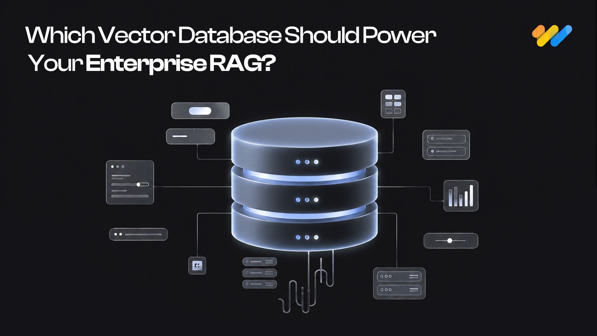
Start with pgvector: When Enterprise RAG Needs a Dedicated Vector Database
A RAG system can have a powerful LLM and still fail because the retrieval layer brings the wrong context.
Ready to clean up your spatial data once and for all?
Fix messy GIS data without slowing projects down.


