
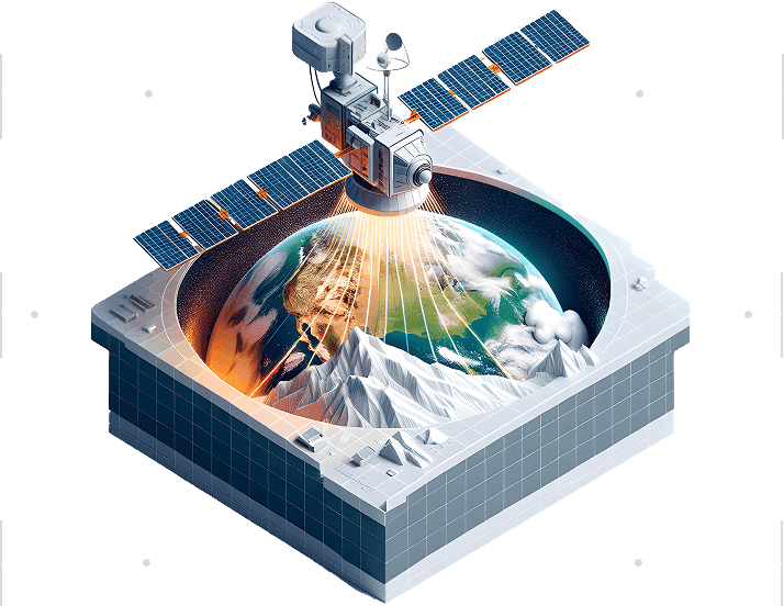
Image Services for GIS & Spatial Intelligence
We convert aerial, satellite, and LiDAR data into accurate, structured datasets that support mapping, analysis, and enterprise GIS workflows.
12thWonder delivers image and remote sensing services that convert aerial, satellite, and LiDAR data into accurate, structured, and analysis-ready spatial datasets for enterprise GIS and planning workflows.
Extracting intelligence from satellite and aerial imagery
Spatial data conversion (raster, vector, CAD, UAV, legacy formats)

Image processing and analysis (enhancement, classification, segmentation, mosaicking)

UAV data processing for high-resolution mapping and inspection

Aerial photography integration (orthophotos and oblique imagery)

DSM, DTM, and geodatabase creation

Change detection analysis across multi-temporal imagery

Spatial data conversion (raster, vector, CAD, UAV, legacy formats)
Image processing and analysis (enhancement, classification, segmentation, mosaicking)
UAV data processing for high-resolution mapping and inspection
Aerial photography integration (orthophotos and oblique imagery)
DSM, DTM, and geodatabase creation
Change detection analysis across multi-temporal imagery
High-accuracy terrain and asset modelling
What we deliver
End-to-end LiDAR data processing and quality control
Break line and contour generation
Image and point cloud integration
Bare earth extraction (DEM/DTM) and building modeling
Orthophoto generation
AI/ML-based classification and vectorization
Accurate 2D and 3D spatial outputs from imagery
What we deliver
2D/3D planimetric vector extraction
Orthophoto generation and compilation
DTM, DSM, and DEM creation
Color balancing, mosaicking, and tile generation
Contour generation
Volume and cut/fill calculations
Proven Processing Scale
Operational capacity and accuracy
500–2,000 sq. km/day
Imagery
processing
1–5 billion points/day
LiDAR
processing
< 1 pixel deviation
Mosaic seamline accuracy
0.5–1.0 m
Change detection sensitivity
5–20 cm
Ultra-high-resolution imagery
Resource Center
Insights, case studies, and guides to help you maximize your geospatial investments.
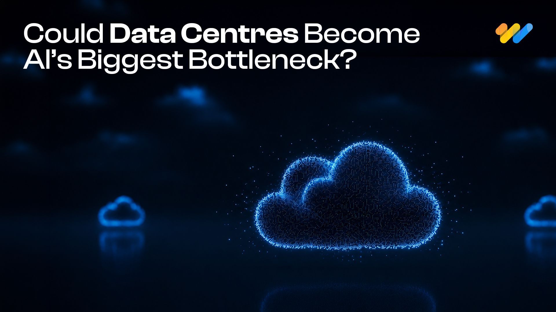
Will Data Centres Become the Biggest Bottleneck in AI?
AI demand is driving one of the largest expansions of computing infrastructure in recent history. According to a Reuters report published in July 2026, Hut 8 signed a $9.8 billion lease
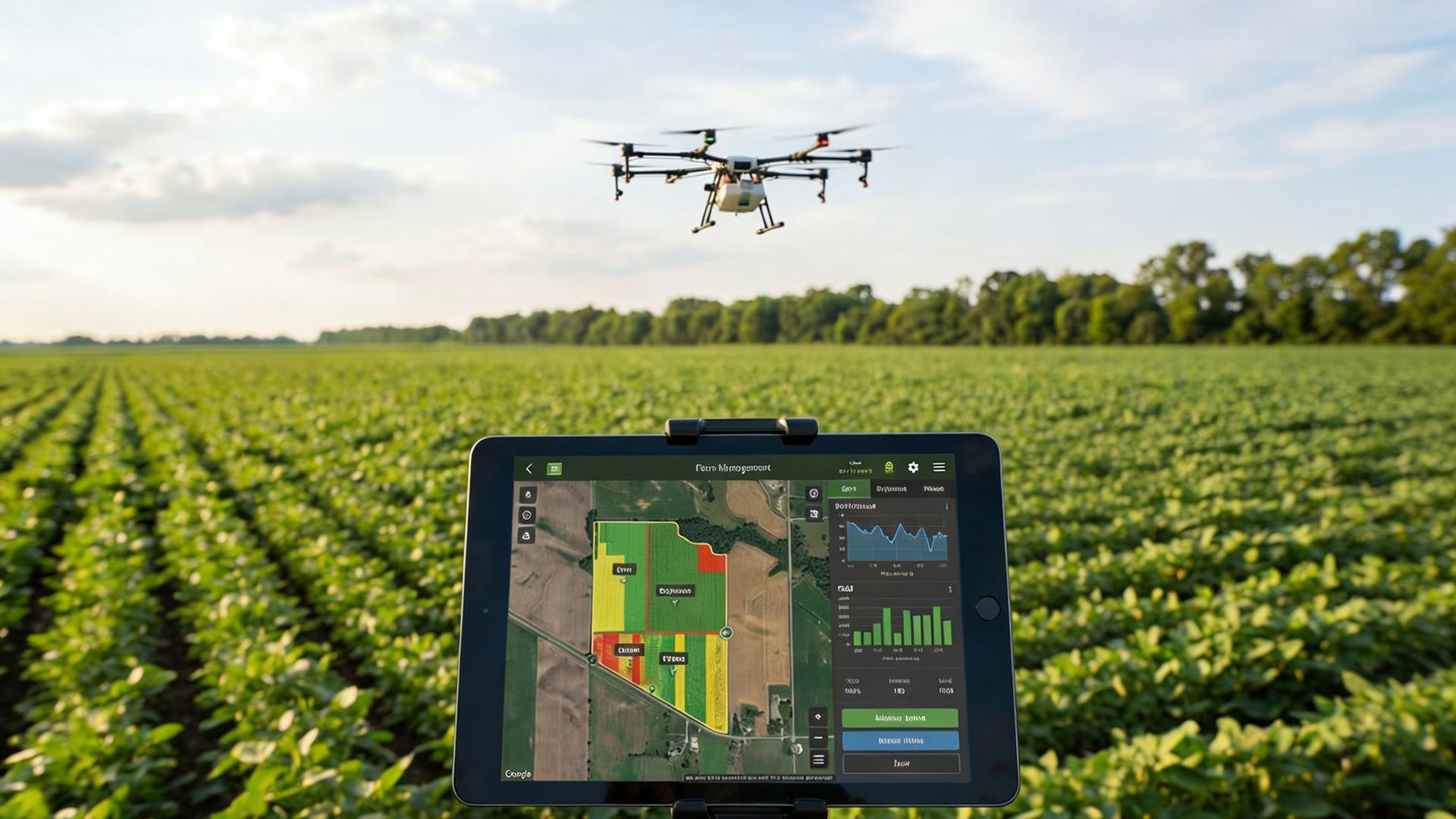
Environmental Monitoring and Risk Assessment Using GIS Spatial Services
A government environmental protection agency in North America is responsible for monitoring forests, wildlife habitats, water resources and environmental risks across a large
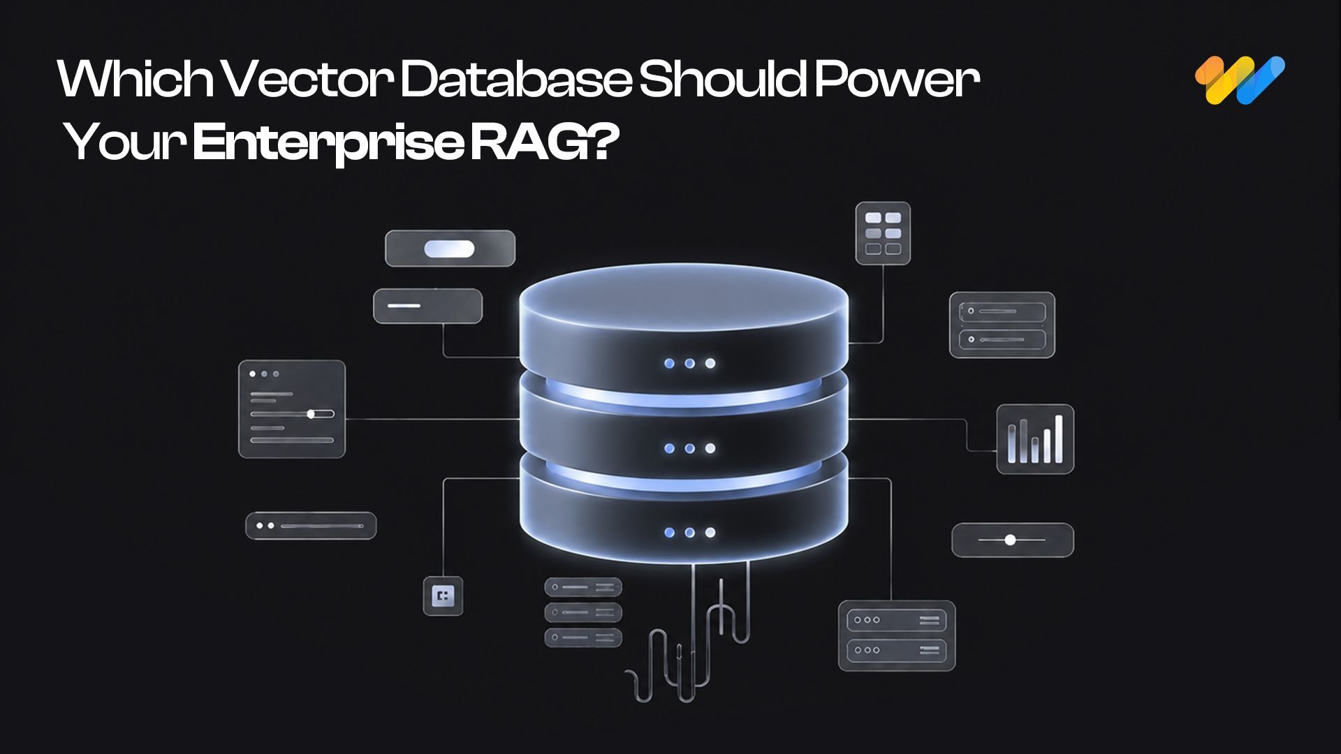
Start with pgvector: When Enterprise RAG Needs a Dedicated Vector Database
A RAG system can have a powerful LLM and still fail because the retrieval layer brings the wrong context.
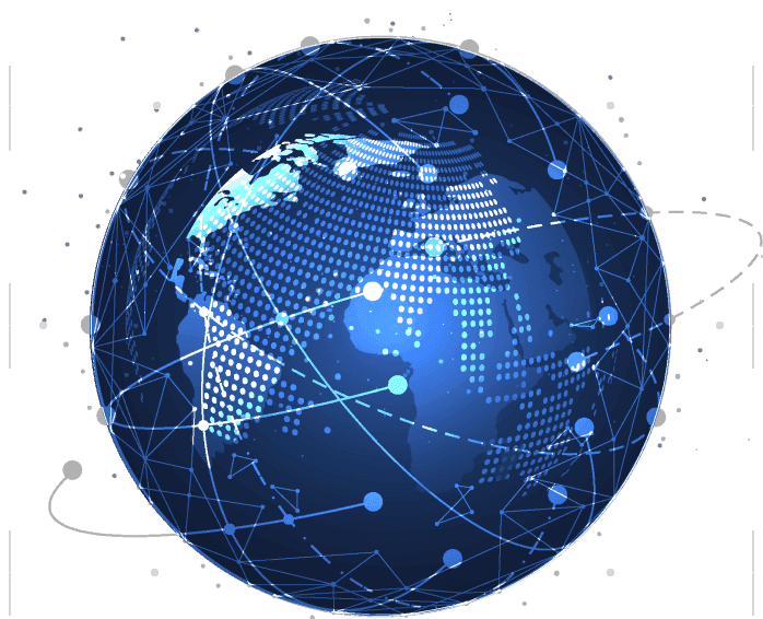
Ready to Build Your Next Digital Twin?
Apply image intelligence to planning, monitoring, and spatial decision-making at scale.


