
Geospatial Application Development & Upgrades
We design, modernize, and scale enterprise geospatial applications across web, desktop, mobile, and open-source platforms, turning complex spatial data into secure, actionable intelligence.
12thWonder builds production-ready GIS applications that integrate seamlessly into enterprise ecosystems. Our solutions are designed for performance, security, scalability and maintainability, supporting mission-critical workflows across office, cloud, and field environments.
End-to-End GIS Solutions
Web GIS Applications
Real-time spatial insights with enterprise-wide access. Secure, scalable Web GIS platforms for visualization, analytics, and publishing.
Desktop GIS Solutions
High-performance data editing and advanced geoprocessing. Customized desktop tools for complex spatial workflows and migrations.
GIS System & Software Upgrades
Modernize legacy GIS with minimal risk. Platform upgrades that extend system life without disrupting operations.
Mobile GIS Applications
Offline-ready, location-aware field intelligence. Mobile solutions that improve field productivity and data accuracy.
Open-Source GIS Solutions
Cost-efficient, enterprise-grade GIS architectures. Vendor-neutral solutions without compromising security or performance.
Enterprise GIS Delivery Framework

Assess
Evaluate existing GIS ecosystem and risks

Architect
Design secure, scalable spatial solutions

Modernize
Upgrade applications and workflows

Scale
Enable cloud, automation, and governance
A proven approach that minimizes downtime and accelerates value.
Measurable Business Outcomes
25–40%
Faster GIS application delivery
15–25%
Reduction in upgrade effort through automation
20–25%
Improvement in network data accuracy
20–30%
Reduction in field rework and outage analysis errors
20–30%
Lower long-term GIS maintenance and licensing costs
Every outcome ties directly to operational efficiency and ROI.
Resource Center
Insights, case studies, and guides to help you maximize your geospatial investments.
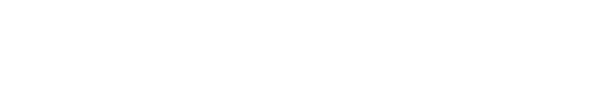
Will Data Centres Become the Biggest Bottleneck in AI?
AI demand is driving one of the largest expansions of computing infrastructure in recent history. According to a Reuters report published in July 2026, Hut 8 signed a $9.8 billion lease
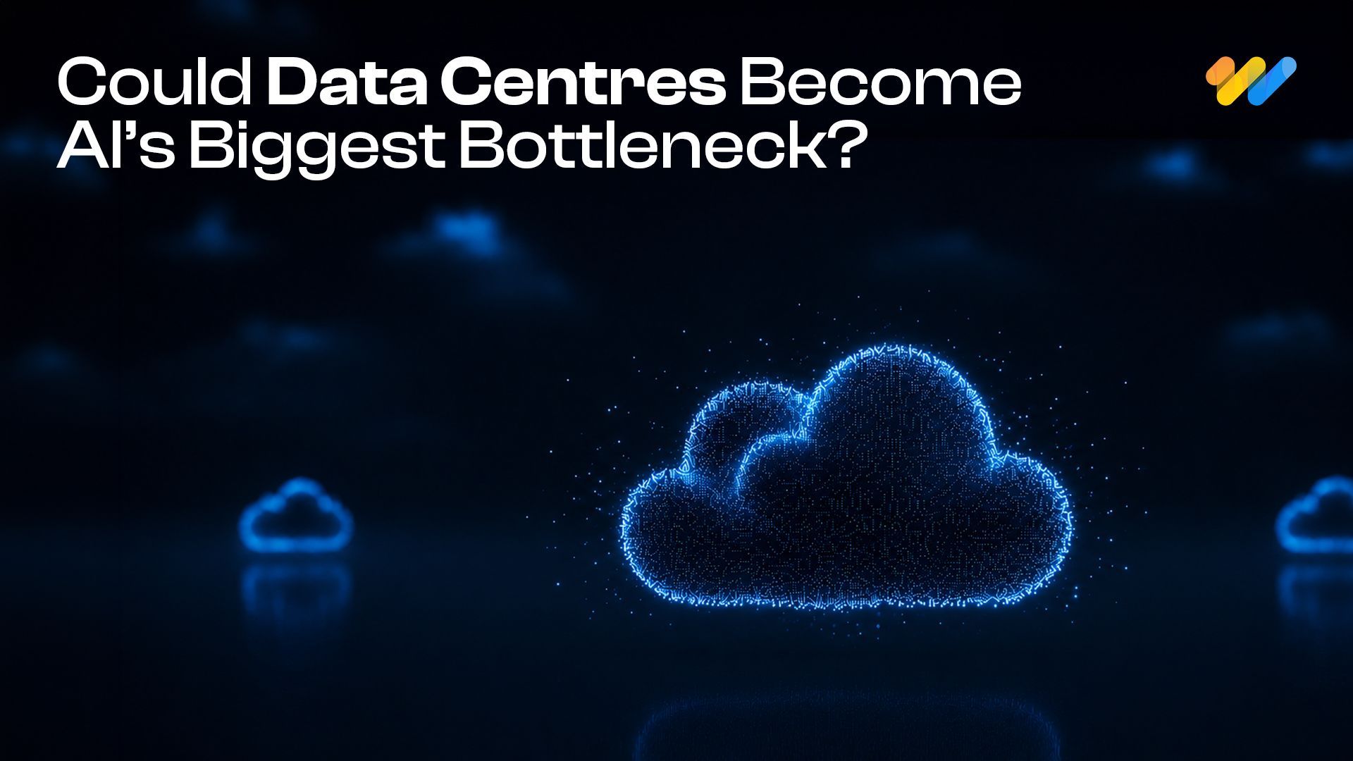
Environmental Monitoring and Risk Assessment Using GIS Spatial Services
A government environmental protection agency in North America is responsible for monitoring forests, wildlife habitats, water resources and environmental risks across a large
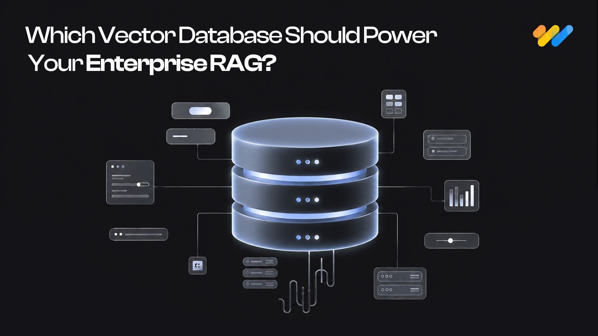
Start with pgvector: When Enterprise RAG Needs a Dedicated Vector Database
A RAG system can have a powerful LLM and still fail because the retrieval layer brings the wrong context.
Build Smarter, Scalable,
Future-Ready Geospatial Systems
Partner with 12thWonder to modernize your GIS applications and unlock enterprise-wide spatial intelligence.


