
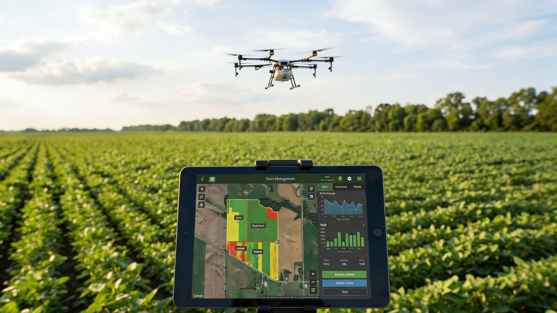
Where geospatial data becomes foresight
Turn complex spatial data into real-time, predictive, and actionable intelligence by combining GIS, AI/ML, and IoT.
12thWonder delivers GeoAI and predictive analytics services that transform geospatial data into actionable intelligence. Our approach combines GIS, AI/ML, and IoT to support real-time insights, proactive decision-making, and operational efficiency across enterprise environments.
What GeoAI enables for enterprises
GEOAI transforms location-based data into intelligence that helps organizations make smarter, faster decisions.

Detect Anomalies
Identify issues in near real time

Predict Risks
Forecast failures, risks, and demand spikes

Optimize Operations
Improve field operations and logistics efficiency

Automate Workflows
Scale geospatial workflows through intelligent automation

Drive Outcomes
Deliver measurable business results and ROI
GeoAI Capabilities
Predictive Analytics
Forecast failures, anomalies, demand surges, and environmental risks
Smart Bots
& NLP
Conversational AI for operational insights and workflow automation
GeoAI
Framework
Integrated GIS, AI, and IoT workflows across enterprise systems
Location Intelligence
Spatial context to identify patterns and optimize assets and movement
IoT + Spatial Intelligence
Live sensor data combined with GIS and AI for situational awareness and alerts
Data Engineering Foundation
Reliable pipelines for ingestion, data quality, geoprocessing, and cloud scale
Outcomes delivered through GeoAI
Faster identification of operational issues
Reduced unplanned downtime
Improved efficiency in field operations
Better planning through predictive insights
Stronger alignment between data and business decisions
Proven Impact
Automated
Geospatial Workflows
Higher
Field Efficiency
Faster
Anomaly Detection
Better
Risk Prediction
Less
Operational Downtime
Resource Center
Insights, case studies, and guides to help you maximize your geospatial investments.

RAG vs Fine-Tuning: Which Approach Fits Your Enterprise Use Case?
In 2025, enterprise AI moved beyond experimentation and into real business workflows. McKinsey reported that 71% of organizations
Environmental Monitoring and Risk Assessment Using GIS Spatial Services
A government environmental protection agency in North America is responsible for monitoring forests, wildlife habitats, water resources and environmental risks across a large
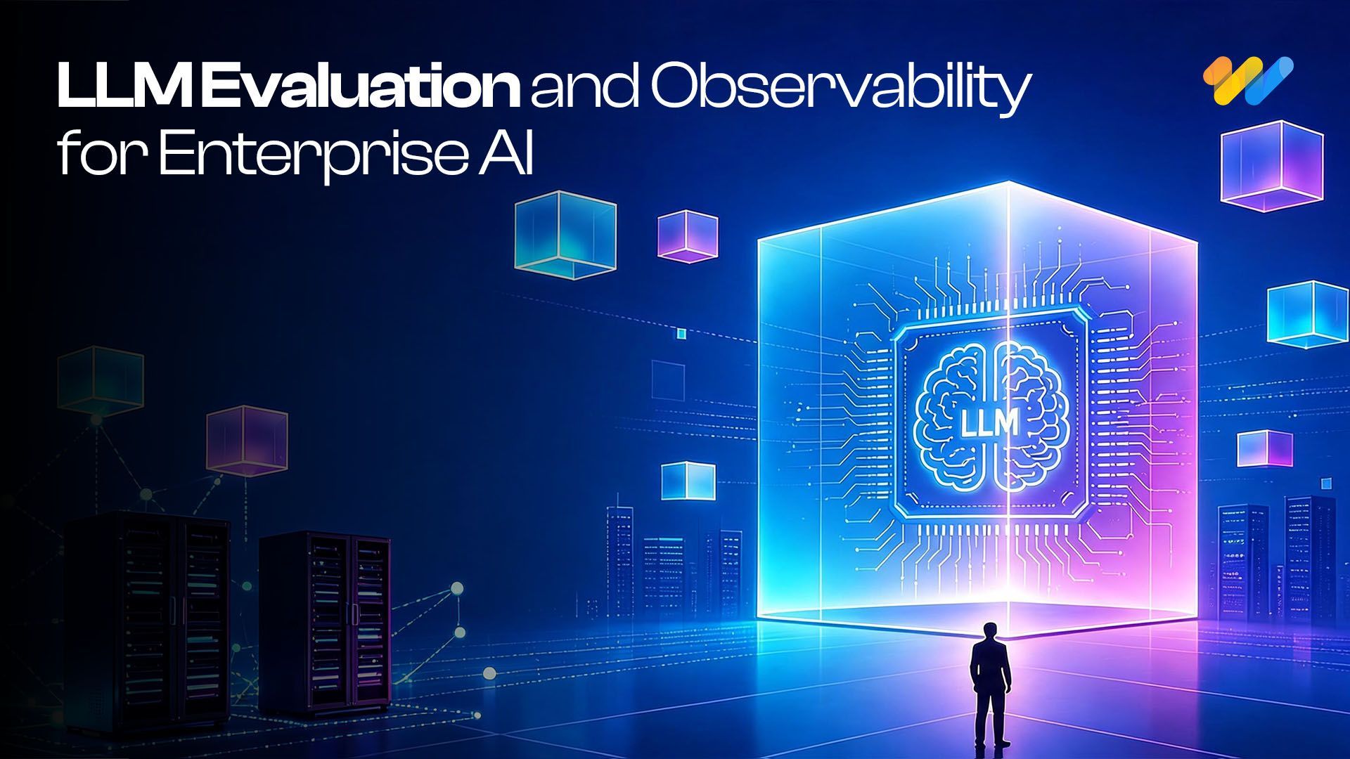
Beyond Model Accuracy: LLM Evaluation and Observability for Business AI
Organizations are moving beyond asking "Can we build it?" and increasingly asking "Can we trust it in production?
Ready to Build an Intelligent Geospatial Ecosystem?
Create a future-ready foundation for analytics, automation, and AI


